9005 East Spring Rd Coal City, IL 60416
Estimated Value: $220,000 - $349,000
--
Bed
--
Bath
--
Sq Ft
4.25
Acres
About This Home
This home is located at 9005 East Spring Rd, Coal City, IL 60416 and is currently estimated at $285,141. 9005 East Spring Rd is a home located in Will County with nearby schools including Reed-Custer Intermediate School, Reed-Custer Middle School, and Reed-Custer High School.
Ownership History
Date
Name
Owned For
Owner Type
Purchase Details
Closed on
Jan 6, 1998
Sold by
Nlsb
Bought by
Relucio Edmundo F
Current Estimated Value
Create a Home Valuation Report for This Property
The Home Valuation Report is an in-depth analysis detailing your home's value as well as a comparison with similar homes in the area
Home Values in the Area
Average Home Value in this Area
Purchase History
| Date | Buyer | Sale Price | Title Company |
|---|---|---|---|
| Relucio Edmundo F | $112,000 | Chicago Title Insurance Co | |
| Nlsb | $165,500 | Chicago Title Insurance Co | |
| First Midwest Trust Company | $110,500 | Chicago Title Insurance Co |
Source: Public Records
Tax History Compared to Growth
Tax History
| Year | Tax Paid | Tax Assessment Tax Assessment Total Assessment is a certain percentage of the fair market value that is determined by local assessors to be the total taxable value of land and additions on the property. | Land | Improvement |
|---|---|---|---|---|
| 2024 | $3,736 | $93,838 | $34,332 | $59,506 |
| 2023 | $3,736 | $84,047 | $30,750 | $53,297 |
| 2022 | $3,831 | $76,268 | $27,904 | $48,364 |
| 2021 | $3,809 | $72,796 | $26,634 | $46,162 |
| 2020 | $3,611 | $68,969 | $25,234 | $43,735 |
| 2019 | $3,352 | $65,126 | $23,828 | $41,298 |
| 2018 | $3,204 | $62,322 | $22,802 | $39,520 |
| 2017 | $3,143 | $61,100 | $22,355 | $38,745 |
| 2016 | $3,055 | $59,091 | $21,620 | $37,471 |
| 2015 | $2,927 | $57,566 | $21,062 | $36,504 |
| 2014 | $2,927 | $57,566 | $21,062 | $36,504 |
| 2013 | $2,927 | $61,568 | $22,526 | $39,042 |
Source: Public Records
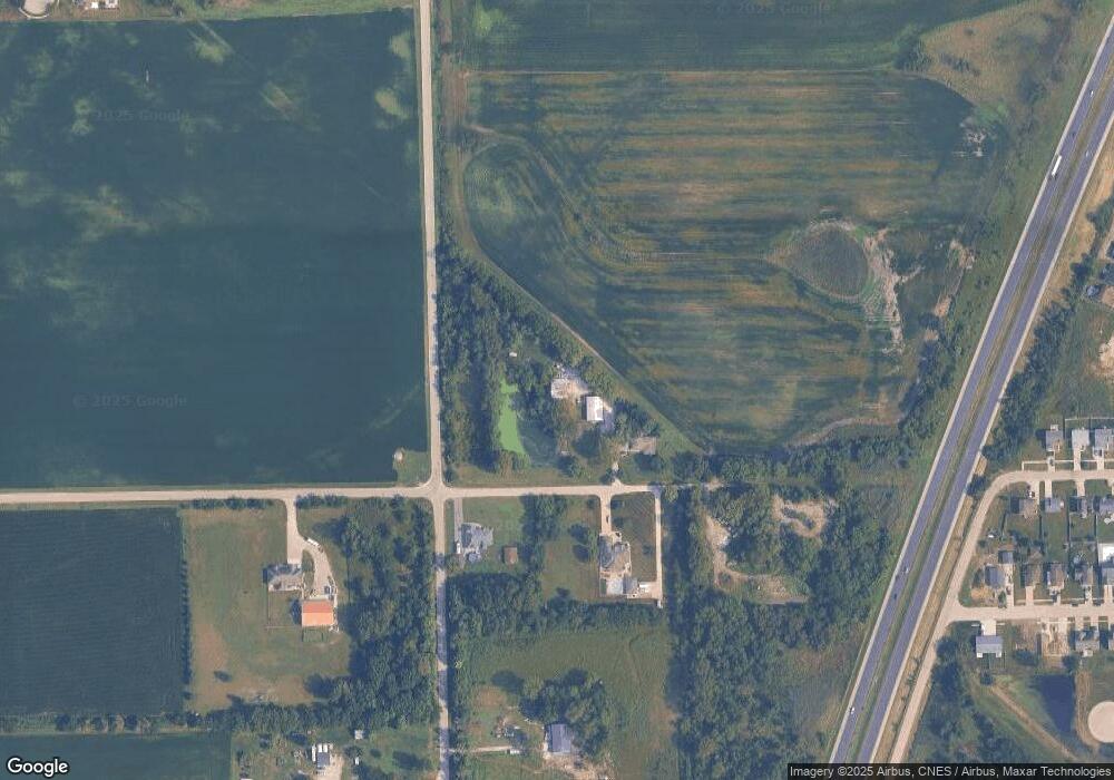
Map
Nearby Homes
- 1195 Farmstone Dr
- 1185 Farmstone Dr
- 1165 Farmstone Dr
- 1175 Farmstone Dr
- 1170 Farmstone Dr
- 1034 Madison Ave
- 1018 Madison Ave
- 1021 W Cermak Rd
- 999 W Cermak Rd
- 1110 S Sandstone Dr
- 886 Western Ave
- 1055 S Heritage Dr
- 1115 Crystal Ln
- 837 Blackhawk Dr
- 975 S Laura Ln
- 345 S Calkey St
- 1065 W Main St
- 1055 W Main St
- 642 W Bergera Rd
- 70 S Will Rd
- 1305 W Spring Rd
- 594 Will Rd
- 1325 W Spring Rd
- 1225 West Spring Rd
- 8820 E Spring Rd
- 8830 East Spring Rd
- 1295 Farmstone Dr
- 1285 Farmstone Dr Unit A
- 1275 Farmstone Dr
- 1265 Farmstone Dr
- 1255 Farmstone Dr
- 1255 Farmstone Dr Unit 1
- 1235 Farmstone Dr Unit 1
- 1235 Farmstone Dr
- 1225 Farmstone Dr Unit 1
- 1225 Farmstone Dr
- 1215 Farmstone Dr
- 1205 Farmstone Dr
- 1245 Farmstone Dr
- 1245 Farmstone Dr Unit 45