9005 Saint Michaels Rd Saint Michaels, MD 21663
Estimated Value: $831,000 - $1,632,000
--
Bed
2
Baths
1,784
Sq Ft
$695/Sq Ft
Est. Value
About This Home
This home is located at 9005 Saint Michaels Rd, Saint Michaels, MD 21663 and is currently estimated at $1,240,576, approximately $695 per square foot. 9005 Saint Michaels Rd is a home located in Talbot County with nearby schools including St. Michaels Elementary School, St. Michaels Middle/High School, and Easton High School.
Ownership History
Date
Name
Owned For
Owner Type
Purchase Details
Closed on
Jul 12, 1999
Sold by
Wrightmary R Trustee Of Reiduary
Bought by
Jones Phillip H and Jones Elizabeth D
Current Estimated Value
Purchase Details
Closed on
May 28, 1997
Sold by
Wright Ernest C and Wright Mary R
Bought by
Wrightmary R Trustee Of Reiduary
Create a Home Valuation Report for This Property
The Home Valuation Report is an in-depth analysis detailing your home's value as well as a comparison with similar homes in the area
Home Values in the Area
Average Home Value in this Area
Purchase History
| Date | Buyer | Sale Price | Title Company |
|---|---|---|---|
| Jones Phillip H | $362,000 | -- | |
| Wrightmary R Trustee Of Reiduary | -- | -- |
Source: Public Records
Tax History Compared to Growth
Tax History
| Year | Tax Paid | Tax Assessment Tax Assessment Total Assessment is a certain percentage of the fair market value that is determined by local assessors to be the total taxable value of land and additions on the property. | Land | Improvement |
|---|---|---|---|---|
| 2025 | $3,033 | $1,009,100 | $700,000 | $309,100 |
| 2024 | $3,033 | $897,867 | $0 | $0 |
| 2023 | $2,822 | $786,633 | $0 | $0 |
| 2022 | $2,582 | $675,400 | $525,000 | $150,400 |
| 2021 | $2,450 | $642,900 | $0 | $0 |
| 2020 | $2,450 | $610,400 | $0 | $0 |
| 2019 | $2,413 | $577,900 | $437,500 | $140,400 |
| 2018 | $2,346 | $577,900 | $437,500 | $140,400 |
| 2017 | $2,251 | $577,900 | $0 | $0 |
| 2016 | $2,227 | $653,400 | $0 | $0 |
| 2015 | $2,015 | $653,400 | $0 | $0 |
| 2014 | $2,015 | $653,400 | $0 | $0 |
Source: Public Records
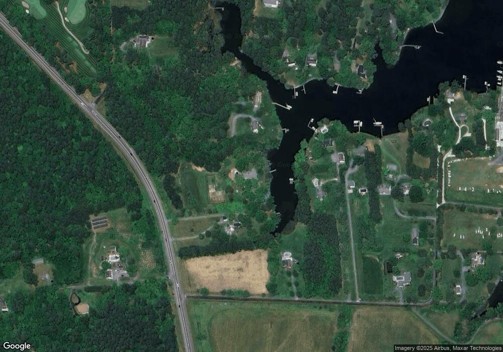
Map
Nearby Homes
- 9171 Deepwater Point Rd
- 24420 Mallard Place
- 24362 Widgeon Place Unit 4
- 24749 Swan Rd
- 408 Spinnaker Ln
- 209 Webb Ln
- 300 Perry St
- 207 Dodson Ave
- 216 Brooks Ln
- 25500 Chance Farm Rd
- 102 Gloria Ave
- 9545 Quail Hollow Dr Unit 205
- 100 Grace St
- 222 E Chestnut St
- 107 E Chestnut St
- 216 E Chew Ave
- 0 Grace St Unit MDTA2012346
- 704 Meadow St
- Lot 16A Meadow St
- 807 Radcliff Ave
- 9001 Saint Michaels Rd
- 9045 Saint Michaels Rd
- 24636 Yacht Club Rd
- 9047 Saint Michaels Rd
- 24640 Yacht Club Rd
- 24610 Yacht Club Rd
- 24642 Yacht Club Rd
- 24692 Yacht Club Rd
- 24611 Long Haul Rd
- 24589 Long Haul Rd
- 24629 Long Haul Rd
- 9119 Deepwater Point Rd
- 24500 Rolles Range Rd
- 24690 Yacht Club Rd
- 24696 Yacht Club Rd
- 24645 Long Haul Rd
- 24670 Yacht Club Rd
- 24659 Long Haul Rd
- 24599 Long Haul Rd
- 24481 Rolles Range Rd