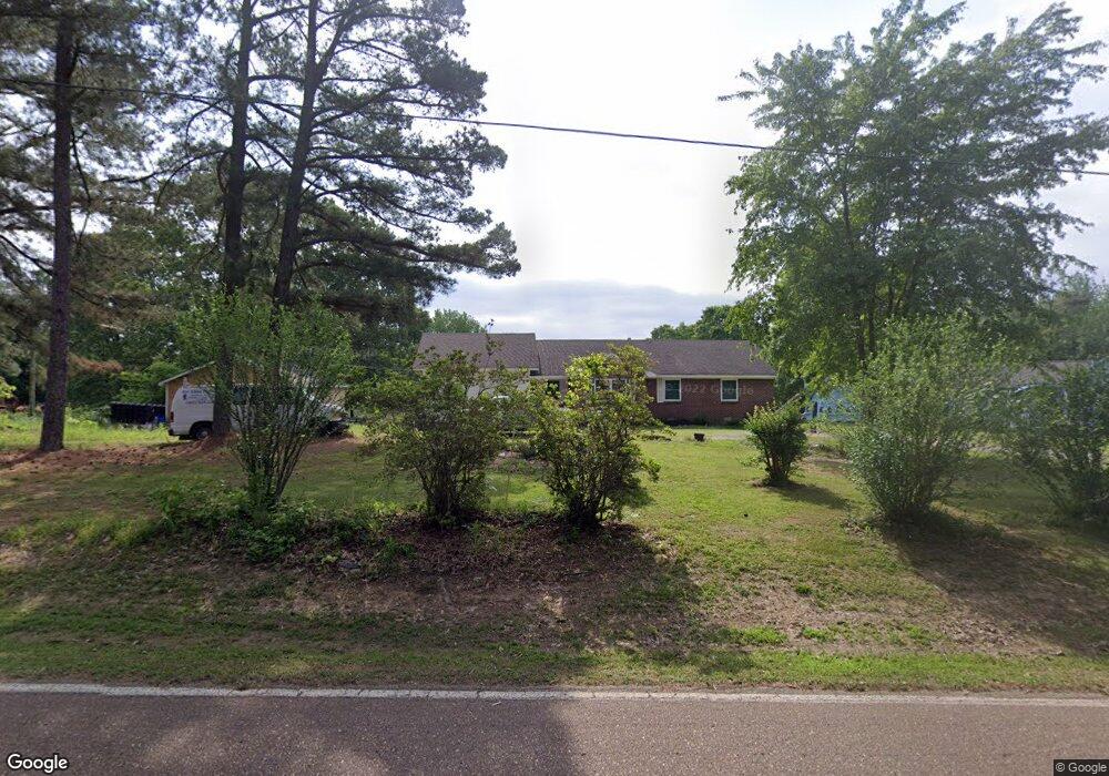
9008 Deadfall Rd Millington, TN 38053
Estimated Value: $327,000 - $513,000
8
Beds
3
Baths
3,966
Sq Ft
$105/Sq Ft
Est. Value
About This Home
This home is located at 9008 Deadfall Rd, Millington, TN 38053 and is currently estimated at $416,517, approximately $105 per square foot. 9008 Deadfall Rd is a home located in Shelby County with nearby schools including Barrets Elementary School, Bolton High School, and Tipton-Rosemark Academy.
Ownership History
Date
Name
Owned For
Owner Type
Purchase Details
Closed on
Nov 30, 2005
Sold by
Ervin Stephen Otis and Ervin Randy Ray
Bought by
Bond Ronald and Bond Grace
Current Estimated Value
Home Financials for this Owner
Home Financials are based on the most recent Mortgage that was taken out on this home.
Original Mortgage
$151,949
Outstanding Balance
$84,054
Interest Rate
6.1%
Mortgage Type
Purchase Money Mortgage
Estimated Equity
$332,463
Create a Home Valuation Report for This Property
The Home Valuation Report is an in-depth analysis detailing your home's value as well as a comparison with similar homes in the area
Home Values in the Area
Average Home Value in this Area
Purchase History
| Date | Buyer | Sale Price | Title Company |
|---|---|---|---|
| Bond Ronald | $187,000 | Lenders Title & Escrow Llc |
Source: Public Records
Mortgage History
| Date | Status | Borrower | Loan Amount |
|---|---|---|---|
| Open | Bond Ronald | $151,949 |
Source: Public Records
Tax History Compared to Growth
Tax History
| Year | Tax Paid | Tax Assessment Tax Assessment Total Assessment is a certain percentage of the fair market value that is determined by local assessors to be the total taxable value of land and additions on the property. | Land | Improvement |
|---|---|---|---|---|
| 2025 | $2,152 | $116,225 | $65,725 | $50,500 |
| 2024 | $2,152 | $98,300 | $47,350 | $50,950 |
| 2023 | $2,152 | $98,300 | $47,350 | $50,950 |
| 2022 | $2,152 | $98,300 | $47,350 | $50,950 |
| 2021 | $2,190 | $98,300 | $47,350 | $50,950 |
| 2020 | $1,696 | $74,625 | $43,600 | $31,025 |
| 2019 | $1,696 | $74,625 | $43,600 | $31,025 |
| 2018 | $1,696 | $74,625 | $43,600 | $31,025 |
| 2017 | $1,721 | $74,625 | $43,600 | $31,025 |
| 2016 | $1,679 | $71,200 | $0 | $0 |
| 2014 | $2,972 | $68,000 | $0 | $0 |
Source: Public Records
Map
Nearby Homes
- 8783 Deadfall Rd
- 8665 Brunswick Rd
- 8285 Brunswick Rd
- 9958 9958 Idaville Dr
- 8200 Brunswick Rd
- 8712 Gragg Rd
- 0 Osborntown Rd Unit 10203897
- 9511 Tracy Rd
- 0 N Bolton Way Rd Unit 10186217
- 8624 Mudville Rd
- 9408 Osborntown Rd
- 0 Harmon Cove
- 63 Kingston Ave
- 8703 Rosemark Rd
- 828 Lyndsey Dr
- 235 Kingston Ave
- 56 Madison Dr
- 7771 Hwy 14 Hwy S
- 7767 Hwy 14 Hwy S
- 29 Planters Grove Trail
- 8989 Deadfall Rd
- 9055 Deadfall Rd
- 8964 Deadfall Rd
- 8930 Deadfall Rd
- 8960 Deadfall Rd
- 8975 Deadfall Rd
- 9100 Deadfall Rd
- 9032 Deadfall Rd
- 9124 Deadfall Rd
- 9125 Deadfall Rd
- 8916 Deadfall Rd
- 9155 Deadfall Rd
- 8888 Deadfall Rd
- 9164 Deadfall Rd
- 10179 Redwood Rd
- 10153 Redwood Rd
- 9136 Deadfall Rd
- 10105 Redwood Rd
- 10122 Moose Rd
- 8850 Deadfall Rd