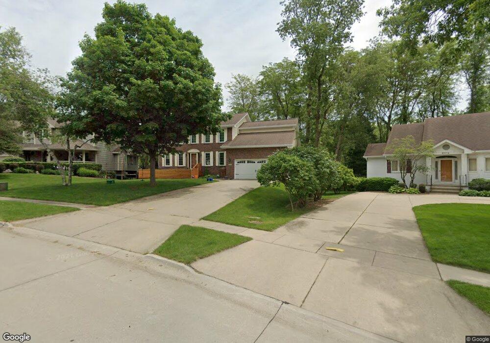
9008 Hammontree Dr Urbandale, IA 50322
Estimated Value: $420,668 - $503,000
5
Beds
4
Baths
2,470
Sq Ft
$187/Sq Ft
Est. Value
About This Home
This home is located at 9008 Hammontree Dr, Urbandale, IA 50322 and is currently estimated at $462,167, approximately $187 per square foot. 9008 Hammontree Dr is a home located in Polk County with nearby schools including Urbandale Middle School, Urbandale High School, and St Pius X School.
Ownership History
Date
Name
Owned For
Owner Type
Purchase Details
Closed on
May 19, 2009
Sold by
Sherzan Michael Thomas and Sherzan Susan Ann
Bought by
Whitver Joshua and Eisher Elizabeth
Current Estimated Value
Home Financials for this Owner
Home Financials are based on the most recent Mortgage that was taken out on this home.
Original Mortgage
$244,055
Outstanding Balance
$154,116
Interest Rate
4.84%
Mortgage Type
Purchase Money Mortgage
Estimated Equity
$308,051
Create a Home Valuation Report for This Property
The Home Valuation Report is an in-depth analysis detailing your home's value as well as a comparison with similar homes in the area
Home Values in the Area
Average Home Value in this Area
Purchase History
| Date | Buyer | Sale Price | Title Company |
|---|---|---|---|
| Whitver Joshua | $256,500 | None Available |
Source: Public Records
Mortgage History
| Date | Status | Borrower | Loan Amount |
|---|---|---|---|
| Open | Whitver Joshua | $244,055 |
Source: Public Records
Tax History Compared to Growth
Tax History
| Year | Tax Paid | Tax Assessment Tax Assessment Total Assessment is a certain percentage of the fair market value that is determined by local assessors to be the total taxable value of land and additions on the property. | Land | Improvement |
|---|---|---|---|---|
| 2025 | $6,614 | $412,700 | $103,000 | $309,700 |
| 2024 | $6,614 | $365,200 | $89,800 | $275,400 |
| 2023 | $6,734 | $365,200 | $89,800 | $275,400 |
| 2022 | $6,656 | $313,800 | $79,500 | $234,300 |
| 2021 | $6,426 | $313,800 | $79,500 | $234,300 |
| 2020 | $6,318 | $287,600 | $74,300 | $213,300 |
| 2019 | $6,558 | $287,600 | $74,300 | $213,300 |
| 2018 | $6,320 | $285,200 | $66,000 | $219,200 |
| 2017 | $5,876 | $285,200 | $66,000 | $219,200 |
| 2016 | $5,730 | $260,600 | $59,700 | $200,900 |
| 2015 | $5,730 | $260,600 | $59,700 | $200,900 |
| 2014 | $5,750 | $269,700 | $60,200 | $209,500 |
Source: Public Records
Map
Nearby Homes
- 4460 90th St
- 9107 Tanglewood Dr
- 4221 90th St
- 4473 89th St
- 8914 Valdez Dr
- 8626 Alpine Dr Unit D
- 4480 87th St Unit 10
- 8641 Alpine Dr Unit E
- 4529 91st St
- 8220 Twana Dr
- 4708 89th St
- Danbury Plan at Oakwood Haven
- Carson Plan at Oakwood Haven
- Gilmore Plan at Oakwood Haven
- Emerson Plan at Oakwood Haven
- Brighton Plan at Oakwood Haven
- Cambridge Plan at Oakwood Haven
- Aurora Plan at Oakwood Haven
- Fairfield Plan at Oakwood Haven
- 3957 92nd Dr
- 9004 Hammontree Dr
- 9012 Hammontree Dr
- 8918 Townsend Ave
- 9018 Hammontree Dr
- 4450 91st St
- 9013 Hammontree Dr
- 8912 Townsend Ave
- 8819 Hammontree Cir
- 9024 Hammontree Dr
- 8817 Hammontree Cir
- 9019 Hammontree Dr
- 8815 Hammontree Cir
- 8821 Hammontree Cir
- 8908 Townsend Ave
- 8813 Hammontree Cir
- 9028 Hammontree Dr
- 8919 Townsend Ave
- 4454 91st St
- 9025 Hammontree Dr
- 4451 91st St