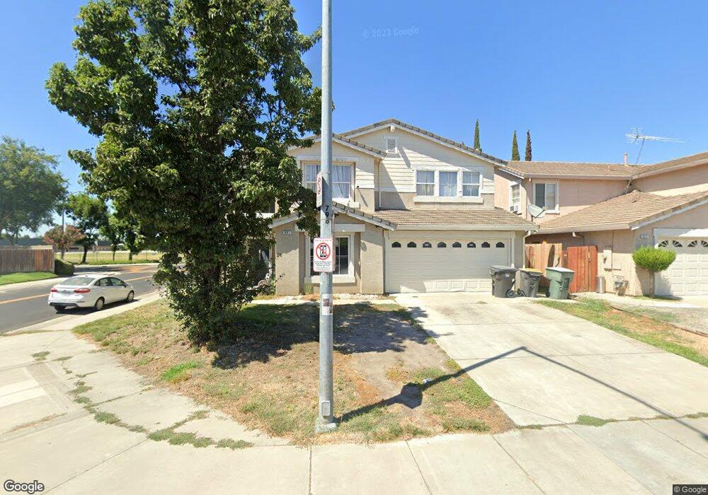
901 Boulder Ave Lathrop, CA 95330
East Lathrop NeighborhoodEstimated Value: $445,000 - $673,000
4
Beds
3
Baths
3,101
Sq Ft
$194/Sq Ft
Est. Value
About This Home
This home is located at 901 Boulder Ave, Lathrop, CA 95330 and is currently estimated at $600,968, approximately $193 per square foot. 901 Boulder Ave is a home located in San Joaquin County with nearby schools including Joseph Widmer, Jr. Elementary School, Lathrop High School, and BE.TECH Charter High School.
Ownership History
Date
Name
Owned For
Owner Type
Purchase Details
Closed on
Jun 7, 2000
Sold by
Acenas Jimi S
Bought by
Acenas Zenaida M
Current Estimated Value
Home Financials for this Owner
Home Financials are based on the most recent Mortgage that was taken out on this home.
Original Mortgage
$204,000
Outstanding Balance
$73,965
Interest Rate
8.62%
Estimated Equity
$527,003
Create a Home Valuation Report for This Property
The Home Valuation Report is an in-depth analysis detailing your home's value as well as a comparison with similar homes in the area
Home Values in the Area
Average Home Value in this Area
Purchase History
| Date | Buyer | Sale Price | Title Company |
|---|---|---|---|
| Acenas Zenaida M | -- | First American Title Co | |
| Acenas Zenaida M | $255,500 | First American Title Co |
Source: Public Records
Mortgage History
| Date | Status | Borrower | Loan Amount |
|---|---|---|---|
| Open | Acenas Zenaida M | $204,000 |
Source: Public Records
Tax History
| Year | Tax Paid | Tax Assessment Tax Assessment Total Assessment is a certain percentage of the fair market value that is determined by local assessors to be the total taxable value of land and additions on the property. | Land | Improvement |
|---|---|---|---|---|
| 2025 | $6,407 | $411,856 | $69,157 | $342,699 |
| 2024 | $6,217 | $403,781 | $67,801 | $335,980 |
| 2023 | $6,014 | $395,865 | $66,472 | $329,393 |
| 2022 | $5,877 | $388,104 | $65,169 | $322,935 |
| 2021 | $5,754 | $380,495 | $63,892 | $316,603 |
| 2020 | $5,528 | $376,594 | $63,237 | $313,357 |
| 2019 | $5,435 | $369,211 | $61,998 | $307,213 |
| 2018 | $5,329 | $361,973 | $60,783 | $301,190 |
| 2017 | $5,270 | $354,877 | $59,592 | $295,285 |
| 2016 | $5,176 | $347,921 | $58,424 | $289,497 |
| 2014 | $4,906 | $335,983 | $56,419 | $279,564 |
Source: Public Records
Map
Nearby Homes
- 827 Saint Andrew St
- 795 Saint Andrew St
- 960 Kirkwood Way
- 813 Sugar Pine Dr
- 13410 Brookwood Way
- 14061 Jasper St
- 774 Sugar Pine Dr
- 14310 Cedar Valley Dr
- 174 Castlewood Ave
- 808 Prairie Dunes Dr
- 272 Olivine Ave
- 14129 Reverend Maurice Cotton Dr
- 14224 S Harlan Rd
- 292 W Lathrop Rd
- 15150 Hollyhock Ct
- 15810 Mckinley Ave
- 2105 N Airport Way
- 2617 Arabetto Ln
- 2589 Arabetto Ln
- 2545 Arabetto Ln
- 921 Boulder Ave
- 837 Boulder Ave
- 910 Flint Ave
- 13591 Gypsum Way
- 13601 Onyx Ct
- 931 Boulder Ave
- 920 Flint Ave
- 831 Boulder Ave
- 842 Boulder Ave
- 941 Boulder Ave
- 930 Flint Ave
- 13581 Gypsum Way
- 13611 Onyx Ct
- 836 Boulder Ave
- 825 Boulder Ave
- 13600 Onyx Ct
- 830 Boulder Ave
- 940 Flint Ave
- 951 Boulder Ave
- 13621 Onyx Ct
Your Personal Tour Guide
Ask me questions while you tour the home.