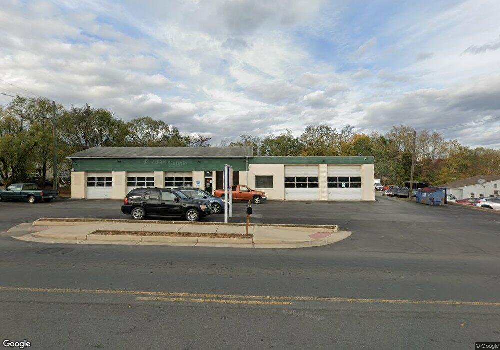
901 E Main St Purcellville, VA 20132
Estimated Value: $1,547,618
--
Bed
--
Bath
4,960
Sq Ft
$312/Sq Ft
Est. Value
About This Home
This home is located at 901 E Main St, Purcellville, VA 20132 and is currently estimated at $1,547,618, approximately $312 per square foot. 901 E Main St is a home located in Loudoun County with nearby schools including Kenneth W. Culbert Elementary School, Blue Ridge Middle School, and Loudoun Valley High School.
Ownership History
Date
Name
Owned For
Owner Type
Purchase Details
Closed on
Jul 6, 2004
Sold by
Hoeltzel & Assocs L L C
Bought by
Nesselrodte Donald E
Current Estimated Value
Home Financials for this Owner
Home Financials are based on the most recent Mortgage that was taken out on this home.
Original Mortgage
$640,000
Outstanding Balance
$321,824
Interest Rate
6.32%
Mortgage Type
Construction
Estimated Equity
$1,225,794
Create a Home Valuation Report for This Property
The Home Valuation Report is an in-depth analysis detailing your home's value as well as a comparison with similar homes in the area
Home Values in the Area
Average Home Value in this Area
Purchase History
| Date | Buyer | Sale Price | Title Company |
|---|---|---|---|
| Nesselrodte Donald E | $800,000 | -- |
Source: Public Records
Mortgage History
| Date | Status | Borrower | Loan Amount |
|---|---|---|---|
| Open | Nesselrodte Donald E | $640,000 |
Source: Public Records
Tax History Compared to Growth
Tax History
| Year | Tax Paid | Tax Assessment Tax Assessment Total Assessment is a certain percentage of the fair market value that is determined by local assessors to be the total taxable value of land and additions on the property. | Land | Improvement |
|---|---|---|---|---|
| 2025 | $5,804 | $695,140 | $538,000 | $157,140 |
| 2024 | $6,205 | $693,330 | $538,000 | $155,330 |
| 2023 | $5,887 | $672,780 | $538,000 | $134,780 |
| 2022 | $5,794 | $651,020 | $538,000 | $113,020 |
| 2021 | $6,269 | $639,700 | $538,000 | $101,700 |
| 2020 | $6,592 | $636,930 | $537,000 | $99,930 |
| 2019 | $6,609 | $632,460 | $537,000 | $95,460 |
| 2018 | $6,931 | $638,790 | $537,000 | $101,790 |
| 2017 | $7,186 | $638,790 | $537,000 | $101,790 |
| 2016 | $7,314 | $638,790 | $0 | $0 |
| 2015 | $7,175 | $95,180 | $0 | $95,180 |
| 2014 | $7,447 | $107,800 | $0 | $107,800 |
Source: Public Records
Map
Nearby Homes
- 113 Frazer Dr
- 14649 Fordson Ct
- 14691 Fordson Ct
- 14629 Fordson Ct
- 115 Frazer Dr
- 221 S Maple Ave
- 17443 Aldershot Place
- 17431 Aldershot Place
- 485 Wordsworth Cir
- 609 S Maple Ave
- 401 E Loudoun Valley Dr
- 116 Desales Dr
- 109 Amalfi Ct
- 648 Elliot Dr
- 230 N Brewster Ln
- 37517 Bernardini Ct
- 3 Springbury Dr
- 420 S 20th St
- The Ashton I Plan at Valley Springs Estates
- The Ashton II Plan at Valley Springs Estates
- 911 E Main St
- 871 E Main St
- 860 E Main St
- 860 E Main St Unit A,C,D,E
- 921 E Main St
- 921 E Main St Unit 2A
- 101 Misty Pond Terrace
- 840 E Main St
- 1000 E Main St
- 103 Misty Pond Terrace
- 107 Misty Pond Terrace
- 801 E Main St
- 109 Misty Pond Terrace
- 111 Misty Pond Terrace
- 850 E Main St Unit B
- 121 River Bottom Square
- 901 Serenity Grove Terrace
- 113 Misty Pond Terrace
- 903 Serenity Grove Terrace
- 115 Misty Pond Terrace