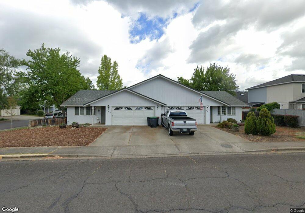
901 Hopkins Rd Central Point, OR 97502
Estimated Value: $424,000 - $530,000
4
Beds
4
Baths
1,973
Sq Ft
$245/Sq Ft
Est. Value
About This Home
This home is located at 901 Hopkins Rd, Central Point, OR 97502 and is currently estimated at $483,351, approximately $244 per square foot. 901 Hopkins Rd is a home located in Jackson County with nearby schools including Central Point Elementary School, Scenic Middle School, and Crater High School.
Ownership History
Date
Name
Owned For
Owner Type
Purchase Details
Closed on
Aug 12, 2003
Sold by
Howell Kenneth G
Bought by
Howell Kenneth G and Howell Carol Ann P
Current Estimated Value
Home Financials for this Owner
Home Financials are based on the most recent Mortgage that was taken out on this home.
Original Mortgage
$95,000
Interest Rate
5.29%
Mortgage Type
Purchase Money Mortgage
Purchase Details
Closed on
Jan 25, 2001
Sold by
Bunce David Harold and Bunce Sharilyn Ann
Bought by
Howell Kenneth G
Home Financials for this Owner
Home Financials are based on the most recent Mortgage that was taken out on this home.
Original Mortgage
$94,500
Interest Rate
7.41%
Mortgage Type
Purchase Money Mortgage
Purchase Details
Closed on
Nov 18, 1999
Sold by
Larson Creek Estates Ltd
Bought by
Bunce David Harold and Bunce Sharilyn Ann
Create a Home Valuation Report for This Property
The Home Valuation Report is an in-depth analysis detailing your home's value as well as a comparison with similar homes in the area
Home Values in the Area
Average Home Value in this Area
Purchase History
| Date | Buyer | Sale Price | Title Company |
|---|---|---|---|
| Howell Kenneth G | -- | First American Title | |
| Howell Kenneth G | $168,000 | Jackson County Title | |
| Bunce David Harold | $165,000 | Crater Title Insurance |
Source: Public Records
Mortgage History
| Date | Status | Borrower | Loan Amount |
|---|---|---|---|
| Closed | Howell Kenneth G | $95,000 | |
| Previous Owner | Howell Kenneth G | $94,500 |
Source: Public Records
Tax History Compared to Growth
Tax History
| Year | Tax Paid | Tax Assessment Tax Assessment Total Assessment is a certain percentage of the fair market value that is determined by local assessors to be the total taxable value of land and additions on the property. | Land | Improvement |
|---|---|---|---|---|
| 2025 | $4,535 | $272,750 | $72,100 | $200,650 |
| 2024 | $4,535 | $264,810 | $70,000 | $194,810 |
| 2023 | $4,389 | $257,100 | $67,960 | $189,140 |
| 2022 | $4,286 | $257,100 | $67,960 | $189,140 |
| 2021 | $4,164 | $249,620 | $65,980 | $183,640 |
| 2020 | $4,043 | $242,350 | $64,060 | $178,290 |
| 2019 | $3,943 | $228,450 | $60,380 | $168,070 |
| 2018 | $3,823 | $221,800 | $58,620 | $163,180 |
| 2017 | $3,727 | $221,800 | $58,620 | $163,180 |
| 2016 | $3,618 | $209,070 | $55,250 | $153,820 |
| 2015 | $3,466 | $209,070 | $55,250 | $153,820 |
| 2014 | $3,378 | $197,080 | $52,080 | $145,000 |
Source: Public Records
Map
Nearby Homes
- 851 Juanita Way
- 571 Briarwood Dr
- 928 Brandi Way
- 921 Pittview Ave
- 1060 Hopkins Rd
- 1017 Fairfield Ave
- 3364 Bursell Rd
- 1025 Fairfield Ave
- 555 Freeman Rd Unit 128
- 555 Freeman Rd Unit 146
- 555 Freeman Rd Unit 204
- 555 Freeman Rd Unit 209
- 301 Freeman Rd Unit 100
- 301 Freeman Rd Unit 23
- 301 Freeman Rd Unit 85
- 3358 Bursell Rd
- 881 Westrop Dr
- 1065 Edwina Ave
- 959 Westrop Dr
- 230 Peninger Rd
- 901 Hopkins 903 Rd
- 586 Primrose Dr
- 583 Mountain View Dr
- 581 Mountain View Dr
- 0 516 518 576&578primrose Unit 7681406-11453174
- 573 Mountain View Dr
- 576 Primrose Dr
- 571 Mountain View Dr
- 611 Primrose Dr
- 563 Mountain View Dr
- 865 Hopkins Rd
- 902 Hopkins Rd
- 583 Primrose Dr
- 561 Mountain View Dr
- 566 Primrose Dr
- 906 Hopkins Rd
- 573 Primrose Dr
- 892 Hopkins Rd
- 553 Mountain View Dr
- 651 Primrose Dr