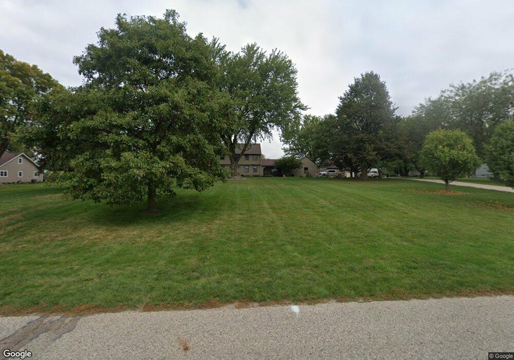
901 Independence Rd Manning, IA 51455
Estimated Value: $309,000 - $490,000
4
Beds
4
Baths
3,838
Sq Ft
$111/Sq Ft
Est. Value
About This Home
This home is located at 901 Independence Rd, Manning, IA 51455 and is currently estimated at $426,651, approximately $111 per square foot. 901 Independence Rd is a home with nearby schools including Ikm-Manning High School, IKM-Manning Middle School, and Irwin Elementary School.
Ownership History
Date
Name
Owned For
Owner Type
Purchase Details
Closed on
Apr 19, 2005
Sold by
Bunz Judith Ann and Bunz Claus H
Bought by
Stangel Aaron E and Ranniger Abbey L
Current Estimated Value
Create a Home Valuation Report for This Property
The Home Valuation Report is an in-depth analysis detailing your home's value as well as a comparison with similar homes in the area
Home Values in the Area
Average Home Value in this Area
Purchase History
| Date | Buyer | Sale Price | Title Company |
|---|---|---|---|
| Stangel Aaron E | $222,500 | None Available |
Source: Public Records
Tax History Compared to Growth
Tax History
| Year | Tax Paid | Tax Assessment Tax Assessment Total Assessment is a certain percentage of the fair market value that is determined by local assessors to be the total taxable value of land and additions on the property. | Land | Improvement |
|---|---|---|---|---|
| 2025 | $6,684 | $553,120 | $42,790 | $510,330 |
| 2024 | $6,372 | $464,730 | $42,790 | $421,940 |
| 2023 | $4,564 | $464,730 | $42,790 | $421,940 |
| 2022 | $4,116 | $282,410 | $34,540 | $247,870 |
| 2021 | $4,116 | $259,250 | $34,540 | $224,710 |
| 2020 | $4,192 | $259,250 | $34,540 | $224,710 |
| 2019 | $4,130 | $259,250 | $34,540 | $224,710 |
| 2018 | $3,944 | $259,250 | $34,540 | $224,710 |
| 2017 | $3,810 | $246,421 | $36,958 | $209,463 |
| 2016 | $3,680 | $230,300 | $0 | $0 |
| 2015 | $3,680 | $174,280 | $0 | $0 |
| 2014 | $2,766 | $174,280 | $0 | $0 |
Source: Public Records
Map
Nearby Homes
- 822 Nishnabotna Dr
- 816 Nishnabotna Dr
- 811 Independence Rd
- 904 Nishnabotna Dr
- 810 Nishnabotna Dr
- 910 Nishnabotna Dr
- 804 Nishnabotna Dr
- 821 Nishnabotna Dr
- 815 Nishnabotna Dr
- 919 Independence Rd
- 905 Nishnabotna Dr
- 721 Independence Rd
- 916 Nishnabotna Dr
- 805 Iowa Dr
- 718 Nishnabotna Dr
- 913 Nishnabotna Dr
- 919 Nishnabotna Dr
- 919 Nishnabotna Dr
- 712 Nishnabotna Dr
- 1002 Nishnabotna Dr