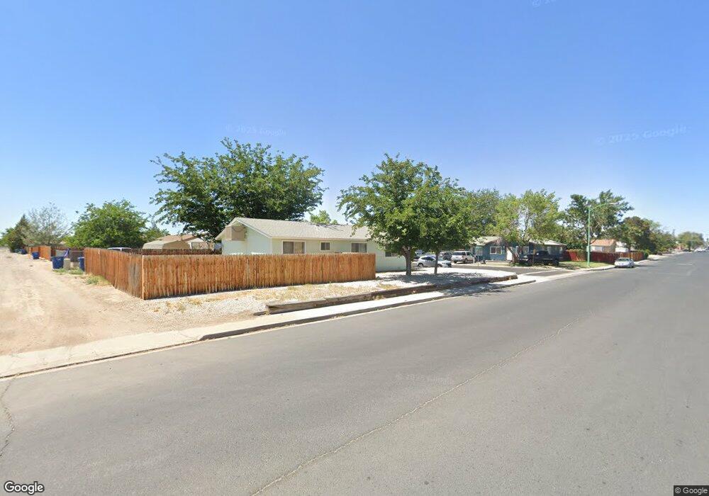
901 Mckay Ct Fallon, NV 89406
Estimated Value: $247,912 - $302,000
4
Beds
2
Baths
1,152
Sq Ft
$239/Sq Ft
Est. Value
About This Home
This home is located at 901 Mckay Ct, Fallon, NV 89406 and is currently estimated at $275,728, approximately $239 per square foot. 901 Mckay Ct is a home located in Churchill County with nearby schools including Lahontan Elementary School, E.C. Best Elementary School, and Numa Elementary School.
Ownership History
Date
Name
Owned For
Owner Type
Purchase Details
Closed on
Jun 11, 2019
Sold by
Connor Marilyn O
Bought by
Stephanie O Connor
Current Estimated Value
Purchase Details
Closed on
Aug 29, 2006
Sold by
Oconnor Mildred I
Bought by
Oconnor Dennis L
Home Financials for this Owner
Home Financials are based on the most recent Mortgage that was taken out on this home.
Original Mortgage
$53,452
Interest Rate
10.12%
Create a Home Valuation Report for This Property
The Home Valuation Report is an in-depth analysis detailing your home's value as well as a comparison with similar homes in the area
Home Values in the Area
Average Home Value in this Area
Purchase History
| Date | Buyer | Sale Price | Title Company |
|---|---|---|---|
| Stephanie O Connor | -- | None Available | |
| Oconnor Dennis L | $385,000 | Marquis Title & Escrow Inc |
Source: Public Records
Mortgage History
| Date | Status | Borrower | Loan Amount |
|---|---|---|---|
| Previous Owner | Oconnor Dennis L | $53,452 |
Source: Public Records
Tax History Compared to Growth
Tax History
| Year | Tax Paid | Tax Assessment Tax Assessment Total Assessment is a certain percentage of the fair market value that is determined by local assessors to be the total taxable value of land and additions on the property. | Land | Improvement |
|---|---|---|---|---|
| 2025 | $785 | $29,373 | $13,650 | $15,723 |
| 2024 | $785 | $28,436 | $12,950 | $15,486 |
| 2023 | $785 | $26,460 | $12,250 | $14,210 |
| 2022 | $738 | $20,085 | $8,050 | $12,035 |
| 2021 | $717 | $19,359 | $8,050 | $11,309 |
| 2020 | $715 | $19,358 | $8,050 | $11,308 |
| 2019 | $719 | $19,514 | $8,050 | $11,464 |
| 2018 | $698 | $19,624 | $8,050 | $11,574 |
| 2017 | $677 | $18,440 | $6,475 | $11,965 |
| 2016 | $661 | $18,032 | $6,475 | $11,557 |
| 2015 | $648 | $17,020 | $6,475 | $10,545 |
| 2014 | $628 | $16,872 | $7,000 | $9,872 |
Source: Public Records
Map
Nearby Homes
- 435 Cindy Ln
- 540 Anthony Ln
- 521 Whitaker Ln
- 445 S Allen St
- 485 S Russell St
- 870 Sunset Dr
- 250 S Taylor St
- 575 Babb Place
- 355 W Stillwater Ave
- 620 Sunset Dr
- 360 & 360 1/2 W Virginia St
- 327 Burntwood St
- 1955 Manchester Cir
- 1021 Whitaker Ln
- 1049 Deena Way
- 110 N Taylor St
- 549 Lincoln St
- 468 S Maine St
- 12017 Power Line Rd
- 231 N Ada St
- 911 Mckay Ct
- 900 Saint Patrick Ct
- 921 Mckay Ct
- 900 Mckay Ct
- 910 Saint Patrick Ct
- 910 St Patricks
- 910 Mckay Ct
- 920 Saint Patrick Ct
- 271, 223, 225 Tedford Ln
- 941 Mckay Ct
- 920 Mckay Ct
- 911 St Patricks
- 271, 223, 225, Tedford Ln
- 271,223,225,227 Tedford Ln
- 940 Saint Patrick Ct
- 940 Mckay Ct
- 961 Mckay Ct
- 901 Laiolo St
- 911 St Patrick Ct
- 901 Saint Patrick Ct