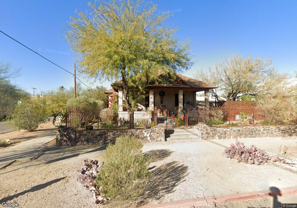
901 N 3rd Ave Tucson, AZ 85705
West University NeighborhoodEstimated Value: $440,000 - $682,000
--
Bed
1
Bath
1,537
Sq Ft
$356/Sq Ft
Est. Value
About This Home
This home is located at 901 N 3rd Ave, Tucson, AZ 85705 and is currently estimated at $547,623, approximately $356 per square foot. 901 N 3rd Ave is a home located in Pima County with nearby schools including Roskruge Bilingual Magnet Middle School, Mansfeld Middle School, and Tucson High Magnet School.
Ownership History
Date
Name
Owned For
Owner Type
Purchase Details
Closed on
Jun 29, 2016
Sold by
Demers Robert D
Bought by
Perreault Therese A
Current Estimated Value
Purchase Details
Closed on
Feb 1, 2006
Sold by
Schmitz John M
Bought by
Demers Robert D and Perreault Therese A
Home Financials for this Owner
Home Financials are based on the most recent Mortgage that was taken out on this home.
Original Mortgage
$232,000
Interest Rate
6.15%
Mortgage Type
New Conventional
Create a Home Valuation Report for This Property
The Home Valuation Report is an in-depth analysis detailing your home's value as well as a comparison with similar homes in the area
Home Values in the Area
Average Home Value in this Area
Purchase History
| Date | Buyer | Sale Price | Title Company |
|---|---|---|---|
| Perreault Therese A | -- | None Available | |
| Demers Robert D | $290,000 | Title Security Agency Of Az |
Source: Public Records
Mortgage History
| Date | Status | Borrower | Loan Amount |
|---|---|---|---|
| Previous Owner | Demers Robert D | $232,000 | |
| Closed | Demers Robert D | $29,000 |
Source: Public Records
Tax History Compared to Growth
Tax History
| Year | Tax Paid | Tax Assessment Tax Assessment Total Assessment is a certain percentage of the fair market value that is determined by local assessors to be the total taxable value of land and additions on the property. | Land | Improvement |
|---|---|---|---|---|
| 2025 | $2,235 | $16,897 | -- | -- |
| 2024 | $2,144 | $16,092 | -- | -- |
| 2023 | $2,033 | $15,326 | $0 | $0 |
| 2022 | $2,033 | $14,596 | $0 | $0 |
| 2021 | $2,021 | $13,239 | $0 | $0 |
| 2020 | $1,960 | $13,239 | $0 | $0 |
| 2019 | $1,934 | $14,451 | $0 | $0 |
| 2018 | $1,892 | $11,437 | $0 | $0 |
| 2017 | $1,881 | $11,437 | $0 | $0 |
| 2016 | $1,816 | $10,892 | $0 | $0 |
| 2015 | $1,760 | $10,373 | $0 | $0 |
Source: Public Records
Map
Nearby Homes
- 528 E 2nd St
- 620 E Harvill Dr Unit 201
- 638 E Babcock Dr Unit 111
- 601 E 1st St
- 630 E Harvill Dr Unit 108
- 642 E 2nd St
- 245 E University Blvd
- 819 N 5th Ave
- 1018 N Jacobus Ave
- 724 N 2nd Ave
- 1017 N 1st Ave
- 215 E University Blvd
- 207 E University Blvd
- 608 E 4th St
- 921 N Euclid Ave Unit 218
- 961 N Euclid Ave Unit 233
- 941 N Euclid Ave Unit 121
- 941 N Euclid Ave Unit 124
- 1134 N 6th Ave
- 1132 N 6th Ave Unit 6