901 Pete Davis Rd Newnan, GA 30263
Estimated Value: $321,000 - $448,000
4
Beds
2
Baths
2,790
Sq Ft
$137/Sq Ft
Est. Value
About This Home
This home is located at 901 Pete Davis Rd, Newnan, GA 30263 and is currently estimated at $381,698, approximately $136 per square foot. 901 Pete Davis Rd is a home located in Coweta County with nearby schools including Ruth Hill Elementary School, Evans Middle School, and Newnan High School.
Ownership History
Date
Name
Owned For
Owner Type
Purchase Details
Closed on
Jul 28, 1995
Bought by
Liberty Baptist Temp
Current Estimated Value
Purchase Details
Closed on
Nov 1, 1994
Bought by
Richards Homes Inc
Purchase Details
Closed on
Nov 16, 1992
Bought by
Mckoy Frank A
Purchase Details
Closed on
Mar 30, 1992
Bought by
Taylor Frank A and Taylor Joy
Purchase Details
Closed on
Mar 31, 1986
Bought by
Trustees Of Fellowsh
Create a Home Valuation Report for This Property
The Home Valuation Report is an in-depth analysis detailing your home's value as well as a comparison with similar homes in the area
Home Values in the Area
Average Home Value in this Area
Purchase History
| Date | Buyer | Sale Price | Title Company |
|---|---|---|---|
| Liberty Baptist Temp | -- | -- | |
| Richards Homes Inc | $53,500 | -- | |
| Mckoy Frank A | $6,800 | -- | |
| Taylor Frank A | $1,200 | -- | |
| Trustees Of Fellowsh | $22,500 | -- |
Source: Public Records
Tax History Compared to Growth
Tax History
| Year | Tax Paid | Tax Assessment Tax Assessment Total Assessment is a certain percentage of the fair market value that is determined by local assessors to be the total taxable value of land and additions on the property. | Land | Improvement |
|---|---|---|---|---|
| 2024 | $1,458 | $105,886 | $13,475 | $92,411 |
| 2023 | $1,458 | $83,251 | $10,433 | $72,818 |
| 2022 | $936 | $80,387 | $9,936 | $70,451 |
| 2021 | $1,695 | $69,065 | $9,936 | $59,129 |
| 2020 | $1,705 | $69,065 | $9,936 | $59,129 |
| 2019 | $1,455 | $54,508 | $11,648 | $42,859 |
| 2018 | $1,458 | $54,508 | $11,648 | $42,859 |
| 2017 | $751 | $54,508 | $11,648 | $42,860 |
| 2016 | $736 | $54,508 | $11,648 | $42,859 |
| 2015 | $711 | $54,508 | $11,648 | $42,859 |
| 2014 | $1,412 | $54,508 | $11,648 | $42,859 |
Source: Public Records
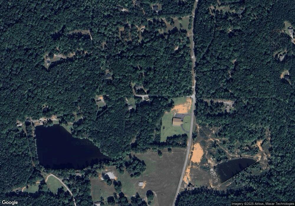
Map
Nearby Homes
- 0 Walt Sanders Rd Unit 10607560
- 15 Dixon Rd
- 20 Beaver Ct
- 0 Ga Hwy 34 W Unit 21 10564723
- 195 Frances Shirey Way
- 20 Sunflower Dr
- 199 Sagebrook Ln
- 175 Thigpen Rd
- 0 Highway 34 W Unit 5.03+/- ACRES
- 1845 Smokey Rd
- 0 George Arnold Rd Unit 7657652
- 0 George Arnold Rd Unit 10617612
- 15 Forest Place
- Zoey II Plan at Chapel Hill
- Middleton Plan at Chapel Hill
- Radcliffe Plan at Chapel Hill
- Horizon Plan at Chapel Hill
- Alexis Plan at Chapel Hill
- Reagan Plan at Chapel Hill
- Millhaven Plan at Chapel Hill
- 883 Pete Davis Rd
- 373 Pete Davis Rd
- 371 Pete Davis Rd
- 343 Pete Davis Rd
- 854 Pete Davis Rd
- 450 Pete Davis Rd
- 321 Pete Davis Rd
- 295 Pete Davis Rd
- 824 Pete Davis Rd
- TBD Pete Davis Rd
- 380 Pete Davis Rd
- 619 Pete Davis Rd
- 486 Pete Davis Rd
- 366 Pete Davis Rd
- 675 Pete Davis Rd
- 293 Pete Davis Rd
- 790 Pete Davis Rd
- 289 Pete Davis Rd
- 291 Pete Davis Rd
- 283 Pete Davis Rd Unit 1