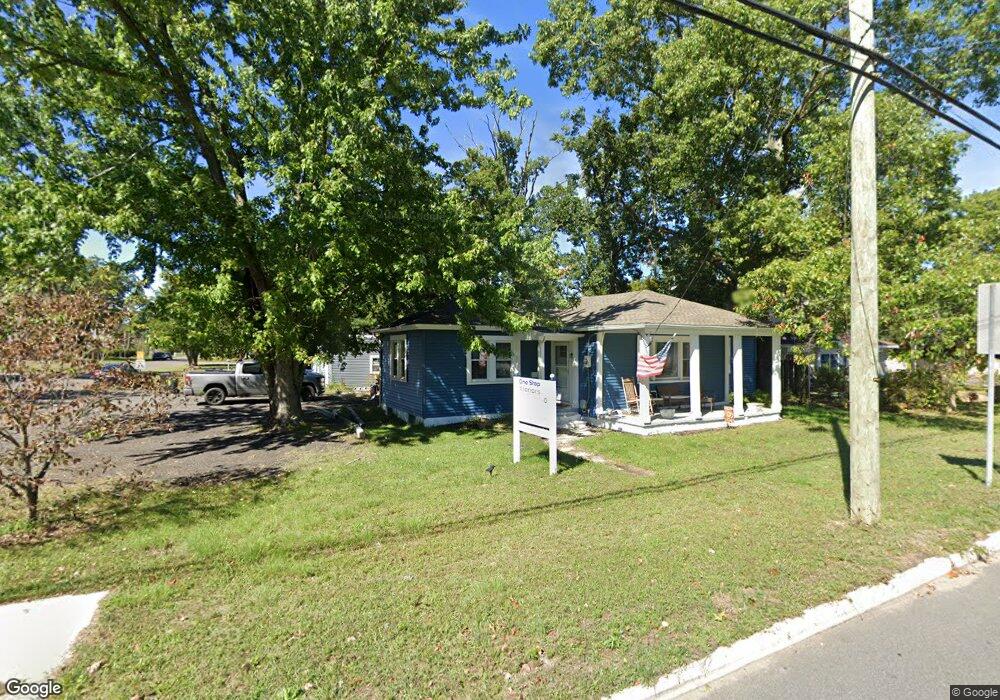
901 Route 50 Mays Landing, NJ 08330
Estimated Value: $261,000 - $594,000
--
Bed
--
Bath
1,252
Sq Ft
$303/Sq Ft
Est. Value
About This Home
This home is located at 901 Route 50, Mays Landing, NJ 08330 and is currently estimated at $379,553, approximately $303 per square foot. 901 Route 50 is a home located in Atlantic County with nearby schools including Joseph Shaner School, George L. Hess Educational Complex, and William Davies Middle School.
Ownership History
Date
Name
Owned For
Owner Type
Purchase Details
Closed on
Feb 20, 2019
Sold by
Wilmington Savings Fund Society
Bought by
Ovens Michael
Current Estimated Value
Home Financials for this Owner
Home Financials are based on the most recent Mortgage that was taken out on this home.
Original Mortgage
$108,453
Interest Rate
5.75%
Mortgage Type
FHA
Purchase Details
Closed on
Nov 7, 2018
Sold by
Killian Cynthia K and United States Of America
Bought by
Nationstar Hecm Acquisition Trusts and Wilmington Savings Fund Society
Purchase Details
Closed on
Nov 13, 2015
Sold by
Mooneys Market Llc
Bought by
Nissu Llc
Purchase Details
Closed on
Jul 24, 2003
Sold by
Keller Ruth
Bought by
Sutley Gary and Sutley Donna
Purchase Details
Closed on
Oct 16, 2001
Sold by
Carr George H
Bought by
Carr Marie T
Purchase Details
Closed on
Apr 14, 1995
Sold by
Day Sean and Day Joan
Bought by
Carr George H
Purchase Details
Closed on
Apr 23, 1965
Bought by
Killian Cynthia K
Create a Home Valuation Report for This Property
The Home Valuation Report is an in-depth analysis detailing your home's value as well as a comparison with similar homes in the area
Home Values in the Area
Average Home Value in this Area
Purchase History
| Date | Buyer | Sale Price | Title Company |
|---|---|---|---|
| Ovens Michael | $76,000 | None Available | |
| Wilmington Savings Fund Society | -- | None Available | |
| Nationstar Hecm Acquisition Trusts | $1,000 | None Available | |
| Nissu Llc | $490,000 | Surety Title | |
| Sutley Gary | $185,000 | -- | |
| Carr Marie T | -- | -- | |
| Carr George H | $30,000 | The Title Company Of Jersey | |
| Killian Cynthia K | -- | -- |
Source: Public Records
Mortgage History
| Date | Status | Borrower | Loan Amount |
|---|---|---|---|
| Previous Owner | Ovens Michael | $108,453 |
Source: Public Records
Tax History Compared to Growth
Tax History
| Year | Tax Paid | Tax Assessment Tax Assessment Total Assessment is a certain percentage of the fair market value that is determined by local assessors to be the total taxable value of land and additions on the property. | Land | Improvement |
|---|---|---|---|---|
| 2025 | $4,323 | $126,000 | $37,200 | $88,800 |
| 2024 | $4,323 | $126,000 | $37,200 | $88,800 |
| 2023 | $4,065 | $126,000 | $37,200 | $88,800 |
| 2022 | $4,065 | $126,000 | $37,200 | $88,800 |
| 2021 | $4,056 | $126,000 | $37,200 | $88,800 |
| 2020 | $4,056 | $126,000 | $37,200 | $88,800 |
| 2019 | $4,066 | $126,000 | $37,200 | $88,800 |
| 2018 | $3,924 | $126,000 | $37,200 | $88,800 |
| 2017 | $3,862 | $126,000 | $37,200 | $88,800 |
| 2016 | $3,504 | $126,000 | $37,200 | $88,800 |
| 2015 | $3,376 | $126,000 | $37,200 | $88,800 |
| 2014 | $3,412 | $139,400 | $44,500 | $94,900 |
Source: Public Records
Map
Nearby Homes
- 717 Route 50
- 526 Bainbridge Ave
- 0 Cape May Ave
- 1st First Ave
- Lot:11.02-12.02 Estelle Ave
- B:534 L:11.01 Estelle Ave
- B:534 L:12.02 Estelle Ave
- B:534 L:11.02 Estelle Ave
- 22 Ernst Ct
- Bl 531 Lot 8&9 Adams Ave
- 565 Park Rd
- 0 3rd St
- 535 Park Rd
- 42 Ernst Ct
- 204 Route 50
- 5745 2nd St
- Rt 50 and Old Mays Landing Rd
- 18 Lewis Dr
- 94 Merlino Ln
- 504 Meadowbrook Dr
- 913 Cape May Ave
- 913 Route 50
- 900 Decatur Ave
- 916 Decatur Ave
- 763 Route 50
- 762 9th St
- 5922 10th St
- L:1 Tenth Ave
- 933 Route 50
- 932 Decatur Ave
- 12 Rembrandt Way
- 6 Rembrandt Way
- 15 Rembrandt Way
- 19 Rembrandt Way
- 5 Rembrandt Way
- 7 Rembrandt Way
- 14 Rembrandt Way
- 13 Rembrandt Way
- 16 Rembrandt Way
- 4 Rembrandt Way