901 Sheridan St Chenoa, IL 61726
Estimated Value: $92,365 - $124,000
--
Bed
1
Bath
896
Sq Ft
$122/Sq Ft
Est. Value
About This Home
This home is located at 901 Sheridan St, Chenoa, IL 61726 and is currently estimated at $109,091, approximately $121 per square foot. 901 Sheridan St is a home located in McLean County with nearby schools including Prairie Central High School.
Create a Home Valuation Report for This Property
The Home Valuation Report is an in-depth analysis detailing your home's value as well as a comparison with similar homes in the area
Home Values in the Area
Average Home Value in this Area
Tax History Compared to Growth
Tax History
| Year | Tax Paid | Tax Assessment Tax Assessment Total Assessment is a certain percentage of the fair market value that is determined by local assessors to be the total taxable value of land and additions on the property. | Land | Improvement |
|---|---|---|---|---|
| 2024 | $1,622 | $26,525 | $7,126 | $19,399 |
| 2022 | $1,622 | $22,821 | $6,131 | $16,690 |
| 2021 | $1,547 | $22,299 | $5,991 | $16,308 |
| 2020 | $1,441 | $20,733 | $5,570 | $15,163 |
| 2019 | $1,479 | $20,733 | $5,570 | $15,163 |
| 2018 | $1,565 | $20,529 | $5,515 | $15,014 |
| 2017 | $1,400 | $20,529 | $5,515 | $15,014 |
| 2016 | $1,327 | $20,529 | $5,515 | $15,014 |
| 2015 | $1,313 | $21,064 | $5,659 | $15,405 |
| 2014 | $1,307 | $21,064 | $5,659 | $15,405 |
| 2013 | -- | $21,294 | $5,721 | $15,573 |
Source: Public Records
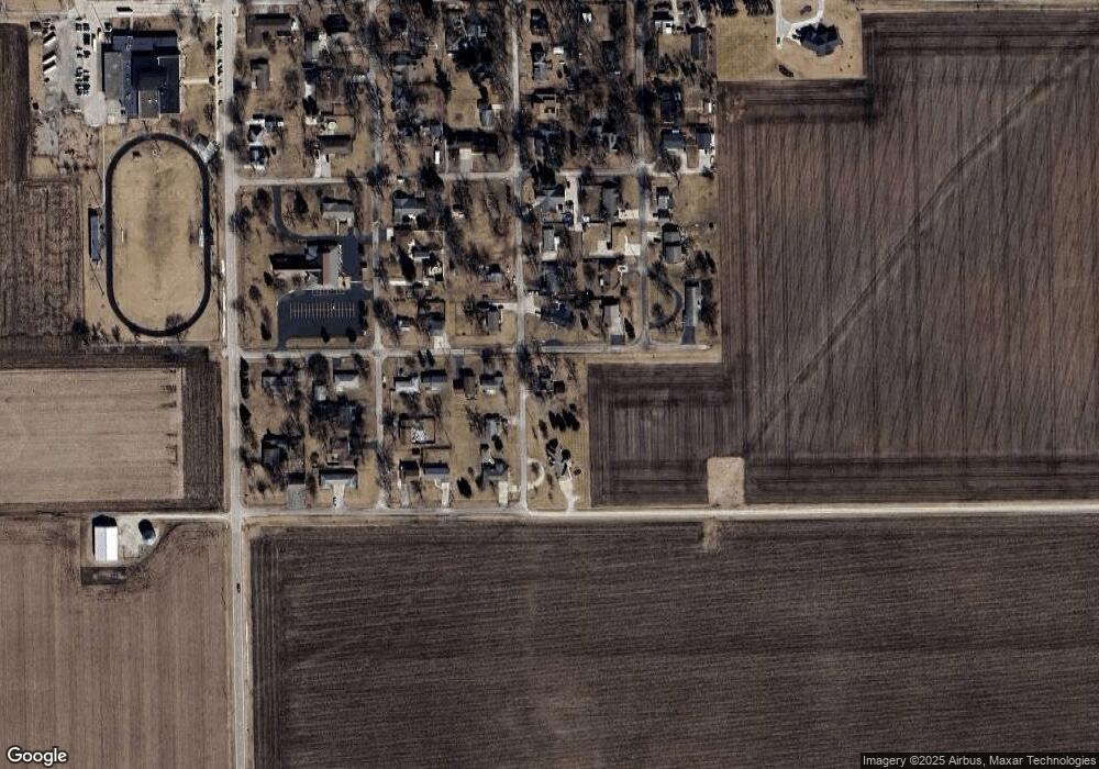
Map
Nearby Homes