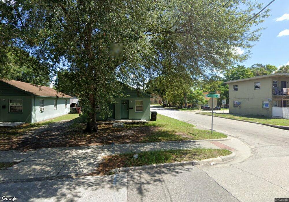
901 W Anderson St Unit B Orlando, FL 32805
Parramore NeighborhoodEstimated Value: $232,596 - $366,000
1
Bed
1
Bath
960
Sq Ft
$300/Sq Ft
Est. Value
About This Home
This home is located at 901 W Anderson St Unit B, Orlando, FL 32805 and is currently estimated at $288,149, approximately $300 per square foot. 901 W Anderson St Unit B is a home located in Orange County with nearby schools including OCPS Academic Center for Excellence, Jones High School, and Lake Eola Charter School.
Ownership History
Date
Name
Owned For
Owner Type
Purchase Details
Closed on
Feb 21, 2014
Sold by
Fannie Mae
Bought by
Parramore Realestate Llc
Current Estimated Value
Purchase Details
Closed on
Jun 18, 2012
Sold by
Sequar Ghenet F
Bought by
Federal National Mortgage Association
Purchase Details
Closed on
Jul 7, 2006
Sold by
Hurst James F and Hurst Lisa F
Bought by
Sequar Ghenet F
Create a Home Valuation Report for This Property
The Home Valuation Report is an in-depth analysis detailing your home's value as well as a comparison with similar homes in the area
Home Values in the Area
Average Home Value in this Area
Purchase History
| Date | Buyer | Sale Price | Title Company |
|---|---|---|---|
| Parramore Realestate Llc | $53,000 | Attorney | |
| Federal National Mortgage Association | $25,100 | None Available | |
| Sequar Ghenet F | $115,000 | None Available |
Source: Public Records
Tax History Compared to Growth
Tax History
| Year | Tax Paid | Tax Assessment Tax Assessment Total Assessment is a certain percentage of the fair market value that is determined by local assessors to be the total taxable value of land and additions on the property. | Land | Improvement |
|---|---|---|---|---|
| 2025 | $2,295 | $108,142 | -- | -- |
| 2024 | $1,844 | $108,142 | -- | -- |
| 2023 | $1,844 | $101,846 | $48,000 | $53,846 |
| 2022 | $1,646 | $84,919 | $40,000 | $44,919 |
| 2021 | $1,510 | $73,863 | $40,000 | $33,863 |
| 2020 | $1,502 | $77,220 | $40,000 | $37,220 |
| 2019 | $1,586 | $76,011 | $35,000 | $41,011 |
| 2018 | $1,451 | $65,453 | $26,000 | $39,453 |
| 2017 | $1,332 | $56,907 | $16,940 | $39,967 |
| 2016 | $1,301 | $54,249 | $14,000 | $40,249 |
| 2015 | $1,318 | $54,001 | $14,000 | $40,001 |
| 2014 | $1,183 | $47,377 | $18,000 | $29,377 |
Source: Public Records
Map
Nearby Homes
- 811 Colyer St
- 1013 Randall St
- 433 S Lee Ave
- 1017 Randall St
- 440 Mcfall Ave
- 1025 Colyer St Unit A/B
- 1029 Colyer St
- 509 Grove Ave
- 727 Quill Ave
- 1232 Conley St
- 0 Easy Ave
- 724 Grove Ave
- 1202 Cypress St
- 1023 W Gore St
- 1122 Dewitt Dr
- 544 Murphy St
- 107 Garden Ave
- 222 N Parramore Ave
- 907 Columbia St
- 944 Columbia St
- 901 W Anderson St
- 905 W Anderson St
- 900 W Anderson St
- 907 W Anderson St
- 817 W Anderson St
- 904 Randall St
- 908 Randall St
- 913 W Anderson St
- 815 W Anderson St
- 915 W Anderson St
- 904 W Anderson St
- 900 Randall St
- 814 Randall St
- 505 Jernigan Ave
- 912 Randall St
- 908 W Anderson St
- 910 Randall St
- 905 Randall St
- 811 W Anderson St
- 816 W Anderson St