901 W Highway 25 70 Newport, TN 37821
Estimated Value: $252,384 - $319,000
--
Bed
2
Baths
1,596
Sq Ft
$177/Sq Ft
Est. Value
About This Home
This home is located at 901 W Highway 25 70, Newport, TN 37821 and is currently estimated at $281,846, approximately $176 per square foot. 901 W Highway 25 70 is a home located in Cocke County with nearby schools including Newport Grammar School, Calvary Baptist Tabernacle School, and Grace Christian School.
Ownership History
Date
Name
Owned For
Owner Type
Purchase Details
Closed on
Oct 23, 2025
Sold by
Velocity Commercial Capital Llc
Bought by
Thomas Cary L
Current Estimated Value
Purchase Details
Closed on
Jul 25, 2024
Sold by
Mcmichael Taylor Gray Llc
Bought by
Velocity Commercial Capital Loan Trust and Us Bank National Association
Purchase Details
Closed on
May 24, 2012
Sold by
Frady Horace L
Bought by
Thomas Cary L
Purchase Details
Closed on
Oct 29, 2002
Sold by
Fellowship Presbyterian Ch
Bought by
Frady Horace L
Purchase Details
Closed on
Oct 25, 1986
Create a Home Valuation Report for This Property
The Home Valuation Report is an in-depth analysis detailing your home's value as well as a comparison with similar homes in the area
Home Values in the Area
Average Home Value in this Area
Purchase History
| Date | Buyer | Sale Price | Title Company |
|---|---|---|---|
| Thomas Cary L | -- | None Listed On Document | |
| Velocity Commercial Capital Loan Trust | $10,000 | None Listed On Document | |
| Velocity Commercial Capital Loan Trust | $10,000 | None Listed On Document | |
| Thomas Cary L | $52,909 | -- | |
| Frady Horace L | $90,000 | -- | |
| -- | $54,000 | -- |
Source: Public Records
Tax History Compared to Growth
Tax History
| Year | Tax Paid | Tax Assessment Tax Assessment Total Assessment is a certain percentage of the fair market value that is determined by local assessors to be the total taxable value of land and additions on the property. | Land | Improvement |
|---|---|---|---|---|
| 2025 | $1,291 | $86,125 | $0 | $0 |
| 2024 | $1,268 | $49,550 | $7,850 | $41,700 |
| 2023 | $1,268 | $49,550 | $7,850 | $41,700 |
| 2022 | $1,271 | $49,550 | $7,850 | $41,700 |
| 2021 | $1,271 | $49,550 | $7,850 | $41,700 |
| 2020 | $1,271 | $49,550 | $7,850 | $41,700 |
| 2019 | $1,097 | $38,750 | $5,900 | $32,850 |
| 2018 | $1,097 | $38,750 | $5,900 | $32,850 |
| 2017 | $1,124 | $38,750 | $5,900 | $32,850 |
| 2016 | $1,003 | $38,750 | $5,900 | $32,850 |
| 2015 | $969 | $38,750 | $5,900 | $32,850 |
| 2014 | $969 | $38,750 | $5,900 | $32,850 |
| 2013 | $969 | $40,375 | $6,925 | $33,450 |
Source: Public Records
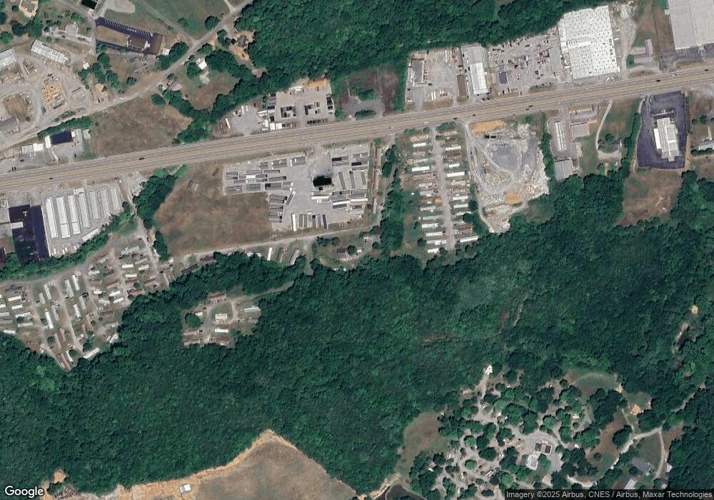
Map
Nearby Homes
- 140 Diamond Cir
- 205 Violet Dr
- 105-109 Creek View Way
- 0 Industrial Rd Unit 256087
- 0 Industrial Rd Unit 256095
- 0 Industrial Rd Unit 256093
- 152 Sulphur Springs Rd
- 535 Old Knoxville Hwy
- Par 152 Sulphur Springs Rd
- 6acres Trentham Rd
- 6 acres Trentham Rd
- 503 Long Cir
- 455 Highway 25e
- 364 Jasmine Dr
- Par 152 Sulpher Springs
- 0 Overview Way Unit 307642
- Par 87.03 Overview Way
- 228 Melton Rd
- 1354 Splashaway Rd
- 127 Chipmunk Hollow Way
- 116 Greystone Way Unit Parcel 1356.01 Greys
- 116 Greystone Way
- 947 Thinwood Dr
- 953 Thinwood Dr
- 112 Brookfield Dr
- 970 Thinwood Dr
- 851 W Highway 25 70
- 851 W Highway 25 70
- LOTS 3,4,5- Thinwood Dr
- 122 Brookfield Dr Unit 124
- 115 Brookfield Dr
- 240 Koa Ln
- 920 Thinwood Dr
- 980 Thinwood Dr
- 126 Brookfield Dr
- 969 W Highway 25 70
- 0 W Hwy 25 70 Unit 504492
- 0 W Hwy 25 70 Unit 603812
- 0 W Hwy 25 70 Unit 254610
- 0 W Hwy 25 70 Unit 585147