9011 E Woodspring St Wichita, KS 67226
Northeast Wichita NeighborhoodEstimated Value: $589,000 - $650,057
4
Beds
4
Baths
2,558
Sq Ft
$242/Sq Ft
Est. Value
About This Home
This home is located at 9011 E Woodspring St, Wichita, KS 67226 and is currently estimated at $619,529, approximately $242 per square foot. 9011 E Woodspring St is a home located in Sedgwick County with nearby schools including Circle High School, Central Christian Academy, and Wichita Collegiate School.
Ownership History
Date
Name
Owned For
Owner Type
Purchase Details
Closed on
May 20, 1999
Sold by
Bates Michael D and Buehler Darcy
Bought by
Bates Michael D
Current Estimated Value
Purchase Details
Closed on
Nov 13, 1998
Sold by
Stone Clifford W
Bought by
Bates Michael D
Home Financials for this Owner
Home Financials are based on the most recent Mortgage that was taken out on this home.
Original Mortgage
$200,000
Outstanding Balance
$43,310
Interest Rate
6.5%
Estimated Equity
$576,219
Create a Home Valuation Report for This Property
The Home Valuation Report is an in-depth analysis detailing your home's value as well as a comparison with similar homes in the area
Home Values in the Area
Average Home Value in this Area
Purchase History
| Date | Buyer | Sale Price | Title Company |
|---|---|---|---|
| Bates Michael D | -- | -- | |
| Bates Michael D | -- | -- |
Source: Public Records
Mortgage History
| Date | Status | Borrower | Loan Amount |
|---|---|---|---|
| Open | Bates Michael D | $200,000 |
Source: Public Records
Tax History Compared to Growth
Tax History
| Year | Tax Paid | Tax Assessment Tax Assessment Total Assessment is a certain percentage of the fair market value that is determined by local assessors to be the total taxable value of land and additions on the property. | Land | Improvement |
|---|---|---|---|---|
| 2025 | $8,612 | $73,474 | $18,274 | $55,200 |
| 2023 | $8,612 | $66,643 | $13,754 | $52,889 |
| 2022 | $7,139 | $58,455 | $12,972 | $45,483 |
| 2021 | $7,127 | $56,753 | $11,546 | $45,207 |
| 2020 | $6,849 | $54,050 | $11,546 | $42,504 |
| 2019 | $6,626 | $52,475 | $11,546 | $40,929 |
| 2018 | $6,406 | $50,945 | $10,350 | $40,595 |
| 2017 | $6,092 | $0 | $0 | $0 |
| 2016 | $5,967 | $0 | $0 | $0 |
| 2015 | $6,111 | $0 | $0 | $0 |
| 2014 | $6,151 | $0 | $0 | $0 |
Source: Public Records
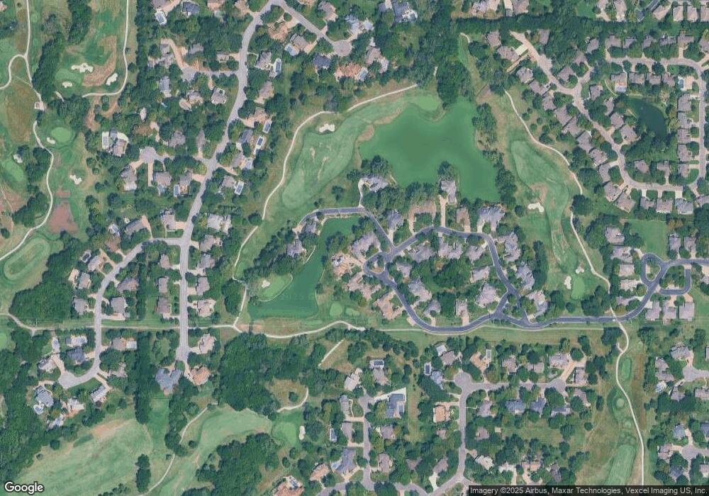
Map
Nearby Homes
- 2610 N Wilderness Cir
- 2530 N Greenleaf Ct
- 8913 E Boxthorn St
- 9510 E Shannon Woods St
- 8319 E Oxford Cir
- 2526 N Fox Run
- 2856 N Tallgrass St
- 8311 E Greenbriar St
- 9303 E Bent Tree Cir
- 2230 N Penstemon Ct
- 2323 N Stoneybrook Ct
- 8124 E Greenbriar Ct
- 2507 N Cranbrook Ct
- 8019 E Lakepoint Way
- 8024 E Greenbriar Ct
- 2507 N Rock Road Ct
- 8812 E Churchill Cir
- 10227 E Windemere Ct
- 10231 E Windemere Ct
- 2547 N Rock Road Ct
- 9013 E Woodspring St
- 9023 E Woodspring St
- 9031 E Woodspring St
- 9031 E Lakepoint Dr
- 9112 E Lakepoint Dr
- 9033 E Woodspring St
- 2611 E Woodspring St
- 0 E Woodspring St
- 9021 E Lakepoint Dr
- 9020 E Woodspring St
- 9111 E Woodspring St
- 9115 E Lakepoint Dr
- 9032 E Lakepoint Dr
- 9120 E Lakepoint Dr
- 9117 E Lakepoint Dr
- 9110 E Woodspring St
- 9113 E Woodspring St
- 9122 E Lakepoint Dr
- 9112 E Woodspring St
- 9135 E Lakepoint Dr