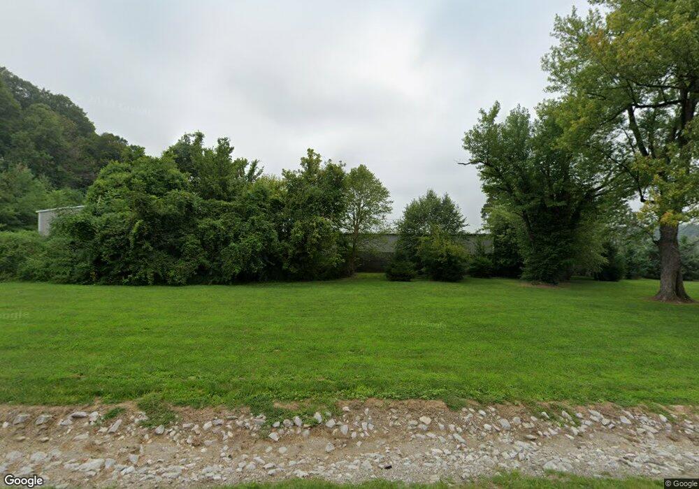
9011 State Route 163 Millstadt, IL 62260
Estimated Value: $151,000
--
Bed
--
Bath
--
Sq Ft
1.1
Acres
About This Home
This home is located at 9011 State Route 163, Millstadt, IL 62260 and is currently priced at $151,000. 9011 State Route 163 is a home located in St. Clair County.
Ownership History
Date
Name
Owned For
Owner Type
Purchase Details
Closed on
Nov 7, 2013
Sold by
Ace Grease Service Inc
Bought by
Kostelac Stanley P and Daniel B Kostelac Revocable Trust
Current Estimated Value
Purchase Details
Closed on
Aug 13, 2012
Sold by
Schafer Edward E
Bought by
Ace Grease Service Inc
Purchase Details
Closed on
Feb 6, 2007
Sold by
Adams Jeanette L and Chavis Kathy A
Bought by
Schafer Edward E
Home Financials for this Owner
Home Financials are based on the most recent Mortgage that was taken out on this home.
Original Mortgage
$205,500
Interest Rate
6.57%
Mortgage Type
Reverse Mortgage Home Equity Conversion Mortgage
Purchase Details
Closed on
Feb 2, 2007
Sold by
Adams Jeanette L
Bought by
Schafer Edward E
Home Financials for this Owner
Home Financials are based on the most recent Mortgage that was taken out on this home.
Original Mortgage
$205,500
Interest Rate
6.57%
Mortgage Type
Reverse Mortgage Home Equity Conversion Mortgage
Create a Home Valuation Report for This Property
The Home Valuation Report is an in-depth analysis detailing your home's value as well as a comparison with similar homes in the area
Home Values in the Area
Average Home Value in this Area
Purchase History
| Date | Buyer | Sale Price | Title Company |
|---|---|---|---|
| Kostelac Stanley P | -- | None Available | |
| Ace Grease Service Inc | $14,500 | None Available | |
| Schafer Edward E | -- | Integrity Land Title Co Inc | |
| Schafer Edward E | -- | None Available |
Source: Public Records
Mortgage History
| Date | Status | Borrower | Loan Amount |
|---|---|---|---|
| Previous Owner | Schafer Edward E | $205,500 |
Source: Public Records
Tax History Compared to Growth
Tax History
| Year | Tax Paid | Tax Assessment Tax Assessment Total Assessment is a certain percentage of the fair market value that is determined by local assessors to be the total taxable value of land and additions on the property. | Land | Improvement |
|---|---|---|---|---|
| 2022 | $121 | $874 | $874 | $0 |
| 2021 | $122 | $828 | $828 | $0 |
| 2020 | $134 | $867 | $867 | $0 |
| 2019 | $136 | $867 | $867 | $0 |
| 2018 | $138 | $880 | $880 | $0 |
| 2017 | $66 | $859 | $859 | $0 |
| 2016 | $146 | $855 | $855 | $0 |
| 2014 | $59 | $846 | $846 | $0 |
| 2013 | $2,689 | $794 | $794 | $0 |
Source: Public Records
Map
Nearby Homes
- 9019 State Route 163
- 8967 State Route 163
- 560 Valley View Dr
- 3508 Mccloud Ct
- 549 Valley View Dr
- 3502 Mccloud Ct
- 543 Valley View Dr
- 8948 State Route 163
- 539 Valley View Dr
- 535 Valley View Dr
- 526 Valley View Dr
- 550 Valley View Dr
- 533 Valley View Dr
- 536 Valley View Dr
- 529 Valley View Dr
- 525 Valley View Dr
- 3509 Camp Jackson Rd
- 7613 Old Missouri Ave
- 515 Valley View Dr
- 7601 Old Missouri Ave
