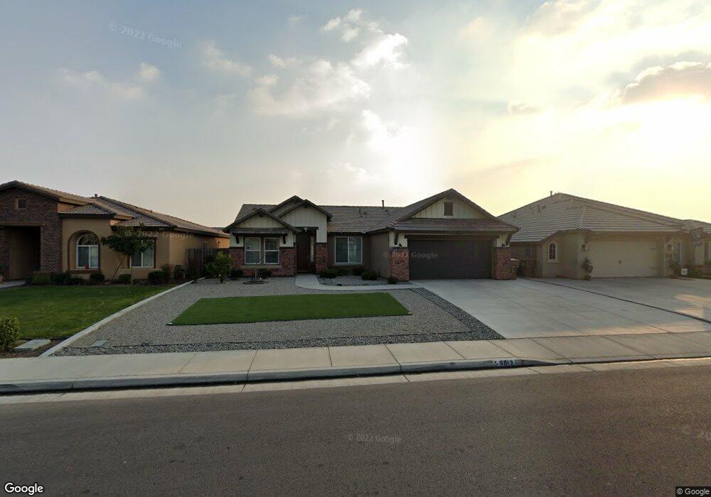
9013 Ribston Ave Bakersfield, CA 93312
Greenacres NeighborhoodEstimated Value: $430,617 - $508,000
3
Beds
2
Baths
1,749
Sq Ft
$273/Sq Ft
Est. Value
About This Home
This home is located at 9013 Ribston Ave, Bakersfield, CA 93312 and is currently estimated at $477,154, approximately $272 per square foot. 9013 Ribston Ave is a home located in Kern County with nearby schools including Columbia Elementary School, Liberty High School, and Country Christian School.
Ownership History
Date
Name
Owned For
Owner Type
Purchase Details
Closed on
Jun 19, 2021
Sold by
Do Kevin Minh and Duong Thuan Vinh
Bought by
Do Kevin Minh and Duong Thuan Vinh
Current Estimated Value
Purchase Details
Closed on
Jul 15, 2016
Sold by
John Balfanz Homes Inc
Bought by
Do Kevin Minh
Home Financials for this Owner
Home Financials are based on the most recent Mortgage that was taken out on this home.
Original Mortgage
$220,000
Interest Rate
3.45%
Mortgage Type
New Conventional
Create a Home Valuation Report for This Property
The Home Valuation Report is an in-depth analysis detailing your home's value as well as a comparison with similar homes in the area
Home Values in the Area
Average Home Value in this Area
Purchase History
| Date | Buyer | Sale Price | Title Company |
|---|---|---|---|
| Do Kevin Minh | -- | None Available | |
| Do Kevin Minh | -- | None Available | |
| Do Kevin Minh | $280,500 | Placer Title Company |
Source: Public Records
Mortgage History
| Date | Status | Borrower | Loan Amount |
|---|---|---|---|
| Previous Owner | Do Kevin Minh | $220,000 |
Source: Public Records
Tax History Compared to Growth
Tax History
| Year | Tax Paid | Tax Assessment Tax Assessment Total Assessment is a certain percentage of the fair market value that is determined by local assessors to be the total taxable value of land and additions on the property. | Land | Improvement |
|---|---|---|---|---|
| 2025 | $4,679 | $324,958 | $81,238 | $243,720 |
| 2024 | $4,511 | $318,588 | $79,646 | $238,942 |
| 2023 | $4,511 | $312,342 | $78,085 | $234,257 |
| 2022 | $4,436 | $306,218 | $76,554 | $229,664 |
| 2021 | $4,298 | $300,214 | $75,053 | $225,161 |
| 2020 | $4,218 | $297,137 | $74,284 | $222,853 |
| 2019 | $4,087 | $297,137 | $74,284 | $222,853 |
| 2018 | $4,032 | $285,600 | $71,400 | $214,200 |
| 2017 | $4,046 | $280,000 | $70,000 | $210,000 |
Source: Public Records
Map
Nearby Homes
- 9010 Wolf River Ave
- 8915 Ribston Ave
- 9131 Rosedale Hwy Unit 73
- 9131 Rosedale Hwy Unit 33
- 9131 Rosedale Hwy Unit 54
- 2217 Calloway Dr
- 9515 Seabeck Ave
- 9323 Alki Ct
- 8711 Hoodsport Ave
- 10307 Glenn St
- 8505 Rollingbay Dr
- 8700 Rollingbay Dr
- 9310 Southwick Dr
- 8711 Winlock St
- 9930 Brimhall Rd
- 9126 Anchor Island Ct
- 1001 Dunwoody Way
- 906 Devonshire St
- 10429 Enger St
- 8915 Chisholm Dr
- 9017 Ribston Ave
- 9009 Ribston Ave
- 9014 Wolf River Ave
- 9018 Wolf River Ave
- 9005 Ribston Ave
- 9006 Wolf River Ave
- 9103 Ribston Ave
- 9012 Ribston Ave
- 9001 Ribston Ave
- 9016 Ribston Ave
- 9104 Wolf River Ave
- 9008 Ribston Ave
- 9020 Ribston Ave
- 9002 Wolf River Ave
- 9004 Ribston Ave
- 8919 Ribston Ave
- 9107 Ribston Ave
- 9102 Ribston Ave
- 9108 Wolf River Ave
- 9015 Wolf River Ave