9014 Split Log Rd Brentwood, TN 37027
Estimated Value: $2,522,000 - $4,130,000
Studio
4
Baths
9,764
Sq Ft
$349/Sq Ft
Est. Value
About This Home
This home is located at 9014 Split Log Rd, Brentwood, TN 37027 and is currently estimated at $3,405,629, approximately $348 per square foot. 9014 Split Log Rd is a home located in Williamson County with nearby schools including Kenrose Elementary School, Woodland Middle School, and Ravenwood High School.
Ownership History
Date
Name
Owned For
Owner Type
Purchase Details
Closed on
Mar 28, 2023
Sold by
Vivian K West 3 Year Qualified Personal
Bought by
Vivian K West 3 Year Qualified Personal Resid
Current Estimated Value
Purchase Details
Closed on
Oct 4, 2012
Sold by
West Vivian K
Bought by
West Vivian K
Purchase Details
Closed on
Dec 29, 2009
Sold by
West Roger O and West Vivian K
Bought by
West Roger O and West Vivian K
Purchase Details
Closed on
Jun 24, 1998
Sold by
Laurels Development Llc
Bought by
West Roger O and West Vivian K
Purchase Details
Closed on
May 31, 1994
Sold by
Fletcher Jack M
Bought by
West Roger O
Create a Home Valuation Report for This Property
The Home Valuation Report is an in-depth analysis detailing your home's value as well as a comparison with similar homes in the area
Home Values in the Area
Average Home Value in this Area
Purchase History
| Date | Buyer | Sale Price | Title Company |
|---|---|---|---|
| Vivian K West 3 Year Qualified Personal Resid | -- | None Listed On Document | |
| Vivian K West 5 Year Qualified Personal Resid | -- | None Listed On Document | |
| West Vivian K | -- | None Available | |
| West Roger O | -- | None Available | |
| West Roger O | $247,500 | -- | |
| West Roger O | -- | -- |
Source: Public Records
Tax History
| Year | Tax Paid | Tax Assessment Tax Assessment Total Assessment is a certain percentage of the fair market value that is determined by local assessors to be the total taxable value of land and additions on the property. | Land | Improvement |
|---|---|---|---|---|
| 2025 | -- | $747,425 | $285,925 | $461,500 |
| 2024 | -- | $454,075 | $160,825 | $293,250 |
| 2023 | $0 | $454,075 | $160,825 | $293,250 |
| 2022 | $9,854 | $454,075 | $160,825 | $293,250 |
| 2021 | $9,854 | $454,075 | $160,825 | $293,250 |
| 2020 | $9,412 | $364,825 | $101,275 | $263,550 |
| 2019 | $9,412 | $364,825 | $101,275 | $263,550 |
| 2018 | $9,157 | $364,825 | $101,275 | $263,550 |
| 2017 | $9,084 | $364,825 | $101,275 | $263,550 |
| 2016 | $8,974 | $364,825 | $101,275 | $263,550 |
Source: Public Records
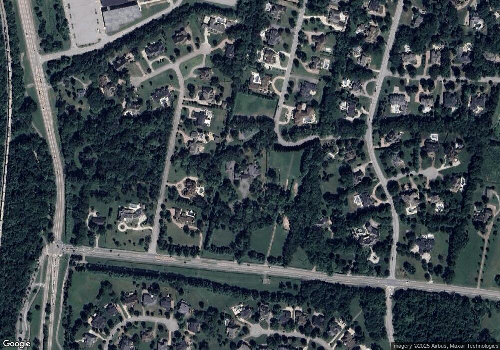
Map
Nearby Homes
- 9003 Pointe Cross Ln
- 9012 Grey Pointe Ct
- 1811 Charity Dr
- 9204 Sydney Ln
- 1811 Grey Pointe Dr
- 1852 Traditions Cir
- 1829 Bronwyn Ct
- 1798 Northumberland Dr
- 1705 Charity Dr
- 9411 Highwood Hill Rd
- 1931 Parade Dr
- 258 Pennystone Cir
- 250 Pennystone Cir
- 9504 Glenfiddich Trace
- 1859 Trebor Ct
- 636 Patriot Ln
- 1819 Barnstaple Ln
- 1706 Overcheck Ln
- 1898 Traditions Cir
- 8344 Carriage Hills Dr
- 1590 Cross Pointe Dr
- 1588 Cross Pointe Dr
- 9060 Split Log Rd
- 1586 Cross Pointe Dr
- 9010 Split Log Rd
- 9440 Weatherly Dr
- 9030 Split Log Rd
- 1584 Cross Pointe Dr
- 9437 Weatherly Dr
- 1771 Charity Dr
- 9436 Weatherly Dr
- 9005 Pointe Cross Ln
- 1773 Charity Dr
- 1767 Charity Dr
- 1775 Charity Dr
- 9435 Weatherly Dr
- 9004 Split Log Rd
- 9007 Pointe Cross Ln
- 1591 Cross Pointe Dr
- 9434 Weatherly Dr
Your Personal Tour Guide
Ask me questions while you tour the home.