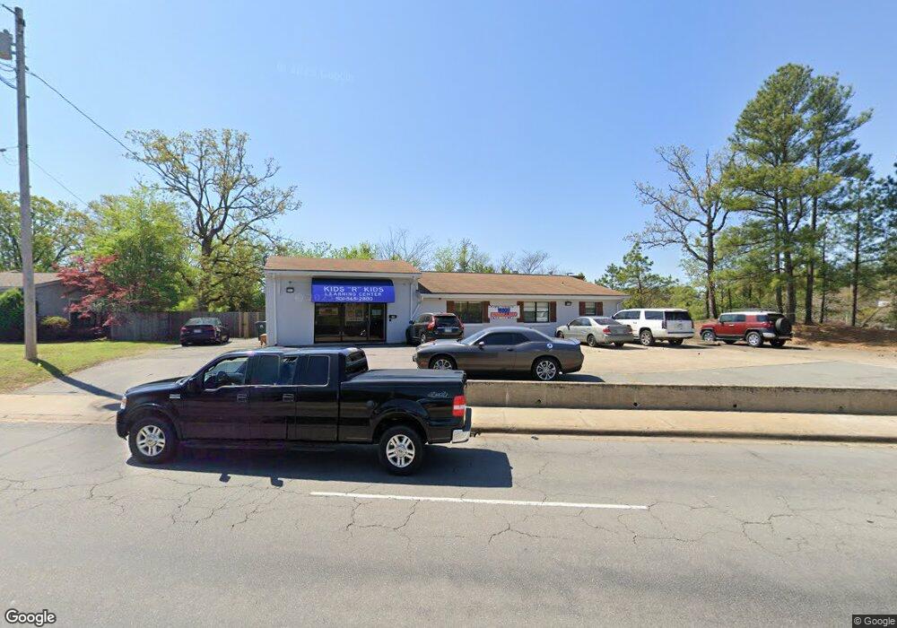
9015 Kanis Rd Little Rock, AR 72205
John Barrow NeighborhoodEstimated Value: $648,660
--
Bed
--
Bath
2,720
Sq Ft
$238/Sq Ft
Est. Value
About This Home
This home is located at 9015 Kanis Rd, Little Rock, AR 72205 and is currently estimated at $648,660, approximately $238 per square foot. 9015 Kanis Rd is a home located in Pulaski County with nearby schools including Brady Elementary School, J.A. Fair K8 Preparatory School, and Henderson Middle School.
Ownership History
Date
Name
Owned For
Owner Type
Purchase Details
Closed on
Oct 7, 2016
Sold by
Soc Llc
Bought by
9015 Kanis Wlr Llc
Current Estimated Value
Purchase Details
Closed on
Aug 25, 2014
Sold by
Crenshaw Larry and Crenshaw Donna
Bought by
Soc Lc
Purchase Details
Closed on
Apr 3, 1998
Sold by
Crenshaw Larry A and Crenshaw Donna S
Bought by
Arkansas State Highway Commission
Create a Home Valuation Report for This Property
The Home Valuation Report is an in-depth analysis detailing your home's value as well as a comparison with similar homes in the area
Home Values in the Area
Average Home Value in this Area
Purchase History
| Date | Buyer | Sale Price | Title Company |
|---|---|---|---|
| 9015 Kanis Wlr Llc | $440,000 | First National Title Company | |
| Soc Lc | -- | None Available | |
| Arkansas State Highway Commission | $3,000 | -- | |
| Arkansas State Highway Commission | $3,000 | -- |
Source: Public Records
Tax History Compared to Growth
Tax History
| Year | Tax Paid | Tax Assessment Tax Assessment Total Assessment is a certain percentage of the fair market value that is determined by local assessors to be the total taxable value of land and additions on the property. | Land | Improvement |
|---|---|---|---|---|
| 2025 | $6,104 | $87,200 | $23,866 | $63,334 |
| 2024 | $6,104 | $87,200 | $23,866 | $63,334 |
| 2023 | $6,104 | $87,200 | $23,866 | $63,334 |
| 2022 | $6,104 | $87,200 | $23,866 | $63,334 |
| 2021 | $6,148 | $87,200 | $25,610 | $61,590 |
| 2020 | $6,104 | $87,200 | $25,610 | $61,590 |
| 2019 | $6,104 | $87,200 | $25,610 | $61,590 |
| 2018 | $6,104 | $87,200 | $25,610 | $61,590 |
| 2017 | $6,486 | $92,660 | $25,610 | $67,050 |
| 2016 | $2,542 | $36,320 | $25,610 | $10,710 |
| 2015 | $2,546 | $36,320 | $25,610 | $10,710 |
| 2014 | $2,546 | $36,320 | $25,610 | $10,710 |
Source: Public Records
Map
Nearby Homes
- 12600 Kanis Rd
- 1800 Labette Manor Dr
- 1813 Lynette Dr
- 1515 E Twin Lakes Dr
- 9203 Labette Dr
- 1900 Labette Manor Dr
- 5 Laurice Cir
- 1408 Twin Lakes Dr
- 9425 Labette Dr
- 1720 Glenda Dr
- 9614 Labette Dr
- 9320 Tanya Dr
- 8815 Cloverhill Rd
- Lot 9 Kanis Oaks Dr
- Lot 8 Kanis Oaks Dr
- 9318 Monique Dr
- 0000 Kanis Pines Dr
- Lot 42R Kanis Pines Dr
- Lot 39R Kanis Pines Dr
- 9320 Cloverhill Rd
- 8901 Kanis Rd
- 9200 Cerelle Dr
- 1400 John Barrow Rd
- 9201 Kanis Rd
- 9201 Kanis Rd
- 9210 Cerelle Dr
- 1116 Jungkind St
- 1109 Jungkind St
- 9105 Longacre Dr
- 9005 Longacre Dr
- 9109 Longacre Dr
- 9220 Cerelle Dr
- 9001 Longacre Dr
- 8919 Longacre Dr
- 1112 Patton Place
- 1414 John Barrow Rd
- 1601 Lynette Dr
- 9300 Cerelle Dr
- 8915 Longacre Dr
- 8909 Longacre Dr