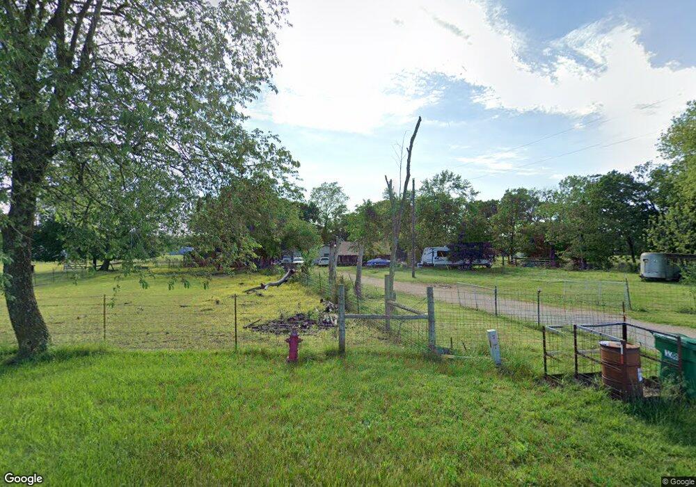
9015 Wpa Rd Gentry, AR 72734
Estimated Value: $159,000 - $957,000
--
Bed
--
Bath
--
Sq Ft
61.96
Acres
About This Home
This home is located at 9015 Wpa Rd, Gentry, AR 72734 and is currently estimated at $558,000. 9015 Wpa Rd is a home located in Benton County with nearby schools including Decatur Northside Elementary School, Decatur Middle School, and Decatur High School.
Ownership History
Date
Name
Owned For
Owner Type
Purchase Details
Closed on
Jul 20, 2018
Sold by
Meek Leonard and Meek Tammy
Bought by
Clark Micheal and Clark Daisy
Current Estimated Value
Purchase Details
Closed on
Oct 20, 2004
Bought by
Skidgel
Purchase Details
Closed on
Sep 17, 2004
Bought by
Skidgel
Purchase Details
Closed on
Jul 29, 2004
Bought by
Cox 10Ac
Purchase Details
Closed on
Oct 1, 2003
Bought by
Schoepf
Purchase Details
Closed on
Oct 5, 1998
Bought by
Meek 99 and Meek 66A
Purchase Details
Closed on
Aug 7, 1997
Bought by
Cowart
Purchase Details
Closed on
Nov 5, 1996
Bought by
Mitchell Rev Trust
Purchase Details
Closed on
Aug 5, 1996
Bought by
Leo Mitchell
Purchase Details
Closed on
Jul 15, 1965
Bought by
Mitchell
Purchase Details
Closed on
Apr 17, 1965
Bought by
Mitchell
Create a Home Valuation Report for This Property
The Home Valuation Report is an in-depth analysis detailing your home's value as well as a comparison with similar homes in the area
Home Values in the Area
Average Home Value in this Area
Purchase History
| Date | Buyer | Sale Price | Title Company |
|---|---|---|---|
| Clark Micheal | $415,000 | None Available | |
| Skidgel | $50,000 | -- | |
| Skidgel | $50,000 | -- | |
| Cox 10Ac | $45,000 | -- | |
| Schoepf | $52,000 | -- | |
| Meek 99 | $168,000 | -- | |
| Nightingale-Mitchell Tr | -- | -- | |
| Cowart | -- | -- | |
| Mitchell Rev Trust | -- | -- | |
| The B L Mitchell Rev Trust | -- | -- | |
| Leo Mitchell | -- | -- | |
| Mitchell | -- | -- | |
| Mitchell | $17,500 | -- |
Source: Public Records
Tax History Compared to Growth
Tax History
| Year | Tax Paid | Tax Assessment Tax Assessment Total Assessment is a certain percentage of the fair market value that is determined by local assessors to be the total taxable value of land and additions on the property. | Land | Improvement |
|---|---|---|---|---|
| 2025 | $113 | $2,324 | $2,324 | -- |
| 2024 | $109 | $2,324 | $2,324 | $0 |
| 2023 | $105 | $2,230 | $2,230 | $0 |
| 2022 | $115 | $2,230 | $2,230 | $0 |
| 2021 | $115 | $2,230 | $2,230 | $0 |
| 2020 | $113 | $2,190 | $2,190 | $0 |
| 2019 | $113 | $2,190 | $2,190 | $0 |
| 2018 | $108 | $2,190 | $2,190 | $0 |
| 2017 | $108 | $2,190 | $2,190 | $0 |
| 2016 | $108 | $2,190 | $2,190 | $0 |
| 2015 | $96 | $2,050 | $2,050 | $0 |
| 2014 | $102 | $2,050 | $2,050 | $0 |
Source: Public Records
Map
Nearby Homes
- 22006 Bozarth Cemetery Rd
- 21743 Bozarth Cemetery Rd
- 159 Acres MOL Safari Rd
- 0 Bozarth Cemetery Rd
- 20894 Floyd Moore Rd
- 21214 Floyd Moore Rd
- 9586 Browning Rd
- 21854 Floyd Moore Rd
- 22.56 Acres Floyd Moore Rd
- TBD Floyd Moore Rd
- 9065 Pine Grove Rd
- 0 Y City Rd Unit 1301343
- 22443 Floyd Moore Rd
- TBD N Bloomfield Rd
- 612 Meadow Brook Ct
- 800 Buffalo Ave
- 1.61AC Arkansas 102
- 0 Grant Ave
- 22842 Carlton Dr
- 366 Spring Ave