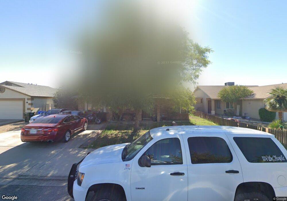
9017 W Osborn Rd Phoenix, AZ 85037
Estimated Value: $266,330 - $357,000
Studio
1
Bath
1,396
Sq Ft
$231/Sq Ft
Est. Value
About This Home
This home is located at 9017 W Osborn Rd, Phoenix, AZ 85037 and is currently estimated at $322,833, approximately $231 per square foot. 9017 W Osborn Rd is a home located in Maricopa County with nearby schools including Pendergast Elementary School and Copper Canyon High School.
Ownership History
Date
Name
Owned For
Owner Type
Purchase Details
Closed on
Jul 6, 2022
Sold by
Susan Mikus
Bought by
Robinson Steven C
Current Estimated Value
Home Financials for this Owner
Home Financials are based on the most recent Mortgage that was taken out on this home.
Original Mortgage
$150,350
Outstanding Balance
$141,790
Interest Rate
5.1%
Mortgage Type
New Conventional
Estimated Equity
$181,043
Purchase Details
Closed on
Oct 29, 2008
Sold by
Mikus Susan R
Bought by
Mikus Michael and Mikus Susan R
Home Financials for this Owner
Home Financials are based on the most recent Mortgage that was taken out on this home.
Original Mortgage
$107,000
Interest Rate
5.77%
Mortgage Type
New Conventional
Purchase Details
Closed on
May 15, 1997
Sold by
Mikus Michael R
Bought by
Mikus Susan
Create a Home Valuation Report for This Property
The Home Valuation Report is an in-depth analysis detailing your home's value as well as a comparison with similar homes in the area
Purchase History
| Date | Buyer | Sale Price | Title Company |
|---|---|---|---|
| Robinson Steven C | $155,000 | Grand Canyon Title | |
| Mikus Michael | -- | Stewart Title & Trust Of Pho | |
| Mikus Susan | -- | First American Title | |
| Mikus Susan R | $57,000 | First American Title |
Source: Public Records
Mortgage History
| Date | Status | Borrower | Loan Amount |
|---|---|---|---|
| Open | Robinson Steven C | $150,350 | |
| Previous Owner | Mikus Michael | $107,000 |
Source: Public Records
Tax History
| Year | Tax Paid | Tax Assessment Tax Assessment Total Assessment is a certain percentage of the fair market value that is determined by local assessors to be the total taxable value of land and additions on the property. | Land | Improvement |
|---|---|---|---|---|
| 2025 | $1,758 | $12,032 | -- | -- |
| 2024 | $1,591 | $11,459 | -- | -- |
| 2023 | $1,591 | $21,670 | $4,330 | $17,340 |
| 2022 | $1,528 | $17,050 | $3,410 | $13,640 |
| 2021 | $1,468 | $15,070 | $3,010 | $12,060 |
| 2020 | $1,424 | $14,280 | $2,850 | $11,430 |
| 2019 | $1,414 | $12,470 | $2,490 | $9,980 |
| 2018 | $573 | $8,730 | $1,740 | $6,990 |
| 2017 | $534 | $6,910 | $1,380 | $5,530 |
| 2016 | $489 | $6,050 | $1,210 | $4,840 |
| 2015 | $476 | $5,830 | $1,160 | $4,670 |
Source: Public Records
Map
Nearby Homes
- 9021 W Mulberry Dr
- 3620 N 90th Dr
- 8847 W Mulberry Dr
- 8834 W Osborn Rd
- 9013 W Avalon Dr
- 3402 N 88th Ave
- 3854 N 89th Ave
- 4006 N 88th Ln
- 8719 W Avalon Dr
- 8926 W Vale Dr
- 8902 W Vale Dr
- 3636 N 86th Ln
- 8658 W Earll Dr
- 8704 W Catalina Dr Unit 2
- 3017 N 87th Ave
- 8618 W Clarendon Ave
- 9517 W Whitton Ave
- 9519 W Mulberry Dr
- 4119 N 88th Ave
- 3630 N 86th Ave
- 9013 W Osborn Rd
- 9021 W Osborn Rd
- 9014 W Mulberry Dr
- 9009 W Osborn Rd
- 9025 W Osborn Rd
- 9010 W Mulberry Dr
- 9018 W Mulberry Dr
- 9006 W Mulberry Dr
- 9022 W Mulberry Dr
- 9005 W Osborn Rd
- 9022 W Osborn Rd
- 9016 W Osborn Rd
- 9029 W Osborn Rd
- 9028 W Osborn Rd
- 9010 W Osborn Rd
- 9002 W Mulberry Dr
- 9026 W Mulberry Dr
- 9001 W Osborn Rd
- 9032 W Osborn Rd
- 9002 W Osborn Rd
Your Personal Tour Guide
Ask me questions while you tour the home.