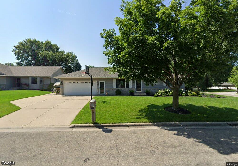
902 Allan Dr Albert Lea, MN 56007
Estimated Value: $279,927 - $318,000
3
Beds
2
Baths
1,120
Sq Ft
$270/Sq Ft
Est. Value
About This Home
This home is located at 902 Allan Dr, Albert Lea, MN 56007 and is currently estimated at $302,232, approximately $269 per square foot. 902 Allan Dr is a home located in Freeborn County with nearby schools including Hawthorne Elementary School, Southwest Middle School, and Albert Lea Senior High School.
Ownership History
Date
Name
Owned For
Owner Type
Purchase Details
Closed on
Jun 5, 2018
Sold by
Bremer David David
Bought by
Bremer Nicholas Nicholas and Bremer Jessica Jessica
Current Estimated Value
Home Financials for this Owner
Home Financials are based on the most recent Mortgage that was taken out on this home.
Original Mortgage
$167,200
Outstanding Balance
$144,600
Interest Rate
4.5%
Mortgage Type
New Conventional
Estimated Equity
$157,632
Create a Home Valuation Report for This Property
The Home Valuation Report is an in-depth analysis detailing your home's value as well as a comparison with similar homes in the area
Home Values in the Area
Average Home Value in this Area
Purchase History
| Date | Buyer | Sale Price | Title Company |
|---|---|---|---|
| Bremer Nicholas Nicholas | $209,000 | -- | |
| Bremer Nicholas D | $209,000 | None Available |
Source: Public Records
Mortgage History
| Date | Status | Borrower | Loan Amount |
|---|---|---|---|
| Open | Bremer Nicholas D | $167,200 | |
| Closed | Bremer Nicholas Nicholas | $209,000 |
Source: Public Records
Tax History
| Year | Tax Paid | Tax Assessment Tax Assessment Total Assessment is a certain percentage of the fair market value that is determined by local assessors to be the total taxable value of land and additions on the property. | Land | Improvement |
|---|---|---|---|---|
| 2025 | $3,898 | $281,600 | $26,200 | $255,400 |
| 2024 | $3,748 | $268,500 | $26,200 | $242,300 |
| 2023 | $3,668 | $258,500 | $26,200 | $232,300 |
| 2022 | $3,342 | $253,800 | $26,200 | $227,600 |
| 2021 | $3,416 | $203,500 | $26,200 | $177,300 |
| 2020 | $3,168 | $193,300 | $21,300 | $172,000 |
| 2019 | $2,844 | $177,700 | $21,300 | $156,400 |
| 2018 | $2,610 | $0 | $0 | $0 |
| 2016 | $2,424 | $0 | $0 | $0 |
| 2015 | $2,376 | $0 | $0 | $0 |
| 2014 | $2,560 | $0 | $0 | $0 |
| 2012 | $2,404 | $0 | $0 | $0 |
Source: Public Records
Map
Nearby Homes
- 1626 Keystone Dr
- 705 Glenview Dr
- 1609 Keystone Dr
- 1612 Hale Dr
- 1106 Foothills Cir
- 2021 Bridge Ave
- 307 E Richway Dr
- 313 Glenn Rd
- 1808 Lakewood Ave
- 1823 Lakewood Ave Unit 2
- 103 W Richway Dr
- 613 & 615 Giles Place
- 618 & 620 Giles Place
- 808 Freeborn Ave
- 105 E Hawthorne St
- 721 Columbus Ave
- 614 Garfield Ave
- 1405 Johnson St
- 1902 Brookside Dr
- 1807 Brookside Dr
- 908 Allan Dr
- 901 Eastgate Rd
- 905 Eastgate Rd
- 901 Allan Dr
- 914 Allan Dr
- 1705 Lancaster Ln
- 1709 Lancaster Ln
- 907 Allan Dr
- 1001 Eastgate Rd
- 1704 Bridge Ave
- 913 Allan Dr
- 1002 Allan Dr
- 1005 Eastgate Rd
- 906 Eastgate Rd
- 1625 Bunker Hill Rd
- 902 Eastgate Rd
- 806 Eastgate Rd
- 1008 Allan Dr
- 1009 Eastgate Rd
- 802 Eastgate Rd
Your Personal Tour Guide
Ask me questions while you tour the home.