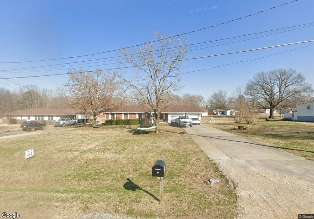
902 N Prairie St Bloomfield, MO 63825
Estimated Value: $171,000 - $216,000
3
Beds
2
Baths
1,712
Sq Ft
$113/Sq Ft
Est. Value
About This Home
This home is located at 902 N Prairie St, Bloomfield, MO 63825 and is currently estimated at $193,693, approximately $113 per square foot. 902 N Prairie St is a home located in Stoddard County with nearby schools including Bloomfield Elementary School, Bloomfield Middle School, and Bloomfield High School.
Ownership History
Date
Name
Owned For
Owner Type
Purchase Details
Closed on
Jul 3, 2024
Sold by
Blue Bonnie
Bought by
Morlan Patrick D
Current Estimated Value
Home Financials for this Owner
Home Financials are based on the most recent Mortgage that was taken out on this home.
Original Mortgage
$115,000
Outstanding Balance
$110,952
Interest Rate
0.68%
Mortgage Type
Construction
Estimated Equity
$82,741
Create a Home Valuation Report for This Property
The Home Valuation Report is an in-depth analysis detailing your home's value as well as a comparison with similar homes in the area
Home Values in the Area
Average Home Value in this Area
Purchase History
| Date | Buyer | Sale Price | Title Company |
|---|---|---|---|
| Morlan Patrick D | $143,750 | National Title & Escrow Inc |
Source: Public Records
Mortgage History
| Date | Status | Borrower | Loan Amount |
|---|---|---|---|
| Open | Morlan Patrick D | $115,000 |
Source: Public Records
Tax History Compared to Growth
Tax History
| Year | Tax Paid | Tax Assessment Tax Assessment Total Assessment is a certain percentage of the fair market value that is determined by local assessors to be the total taxable value of land and additions on the property. | Land | Improvement |
|---|---|---|---|---|
| 2025 | $984 | $19,988 | $0 | $0 |
| 2024 | $984 | $18,278 | $0 | $0 |
| 2023 | $984 | $18,278 | $0 | $0 |
| 2022 | $916 | $17,024 | $0 | $0 |
| 2021 | $916 | $17,024 | $0 | $0 |
| 2020 | $773 | $16,036 | $0 | $0 |
| 2019 | $773 | $16,416 | $0 | $0 |
| 2018 | $755 | $16,036 | $0 | $0 |
| 2016 | $729 | $15,504 | $0 | $0 |
| 2015 | -- | $15,504 | $0 | $0 |
| 2014 | -- | $15,257 | $0 | $0 |
| 2013 | -- | $0 | $0 | $0 |
Source: Public Records
Map
Nearby Homes
- 709 N Prairie St
- 610 N Spring St
- 100 E Shawnee St
- 503 S Viola St
- 301 W Shawnee St
- 17800 County Road 527
- 123 Link Rd
- 21895 County Road 550
- 0 County Road 237
- 23847 Friar Tuck Ct
- 14038 County Road 405
- 14033 County Road 405
- 21205 County Road 249
- 25097 State Highway 25
- 18049 Thomas Dr
- 13605 Duley Ln
- 18328 Lake Circle Dr
- 0 E Kenton Rd Unit MAR25009938
- 130 Hunt St
- 1207 W Kenton Rd
- 904 N Prairie St
- 804 N Prairie St
- 906 N Prairie St
- 200 Franklin St
- 201 Franklin St
- 901 N Prairie St
- 201 E Taylor St
- 704 N Prairie St
- 1000 N Prairie St
- 1000 N Prairie St
- 905 N Prairie St
- 710 N Prairie St
- 202 Franklin St
- 203 E Taylor St
- 202 Christian Dr
- 714 N Viola St
- 708 N Prairie St
- 203 Franklin St
- 1002 N Prairie St
- 801 N Prairie St