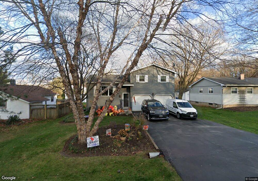
902 Nevin St Unit 12 Algonquin, IL 60102
Estimated Value: $283,062 - $349,000
3
Beds
2
Baths
1,190
Sq Ft
$268/Sq Ft
Est. Value
About This Home
This home is located at 902 Nevin St Unit 12, Algonquin, IL 60102 and is currently estimated at $319,266, approximately $268 per square foot. 902 Nevin St Unit 12 is a home located in McHenry County with nearby schools including Westfield Community School, Kenneth E Neubert Elementary School, and United Junior High School.
Ownership History
Date
Name
Owned For
Owner Type
Purchase Details
Closed on
Mar 27, 2015
Sold by
Jacobson Bryon J and Jacobson Tina M
Bought by
The Bryooj Jacobson Revocable Trust
Current Estimated Value
Purchase Details
Closed on
Aug 8, 1994
Sold by
Kerns Donald E
Bought by
Jacobson Bryon J and Jacobson Tina M
Home Financials for this Owner
Home Financials are based on the most recent Mortgage that was taken out on this home.
Original Mortgage
$108,000
Interest Rate
8.73%
Create a Home Valuation Report for This Property
The Home Valuation Report is an in-depth analysis detailing your home's value as well as a comparison with similar homes in the area
Home Values in the Area
Average Home Value in this Area
Purchase History
| Date | Buyer | Sale Price | Title Company |
|---|---|---|---|
| The Bryooj Jacobson Revocable Trust | -- | None Available | |
| Jacobson Bryon J | $120,000 | -- |
Source: Public Records
Mortgage History
| Date | Status | Borrower | Loan Amount |
|---|---|---|---|
| Closed | Jacobson Bryon J | $108,000 |
Source: Public Records
Tax History Compared to Growth
Tax History
| Year | Tax Paid | Tax Assessment Tax Assessment Total Assessment is a certain percentage of the fair market value that is determined by local assessors to be the total taxable value of land and additions on the property. | Land | Improvement |
|---|---|---|---|---|
| 2024 | $7,885 | $94,082 | $9,578 | $84,504 |
| 2023 | $7,553 | $84,144 | $8,566 | $75,578 |
| 2022 | $5,504 | $54,875 | $7,731 | $47,144 |
| 2021 | $5,326 | $51,122 | $7,202 | $43,920 |
| 2020 | $5,221 | $49,312 | $6,947 | $42,365 |
| 2019 | $4,690 | $47,197 | $6,649 | $40,548 |
| 2018 | $4,051 | $51,297 | $5,559 | $45,738 |
| 2017 | $3,952 | $48,325 | $5,237 | $43,088 |
| 2016 | $3,877 | $45,325 | $4,912 | $40,413 |
| 2013 | -- | $44,491 | $4,582 | $39,909 |
Source: Public Records
Map
Nearby Homes
- 909 Roger St
- 16 Brian Ct
- 266 Grandview Ct
- 807 Menominee Dr
- 809 Menominee Dr
- 1431 Essex St
- LOT 3 Blackhawk Dr
- 900 Windstone Ct
- 937 Mesa Dr
- 1235 Fairmont Ct
- 721 Brentwood Ct
- Lots 10 & 11 Ramble Rd
- 135 Arquilla Dr
- 7 Michael Ct
- 700 Fairfield Ln
- 992 Mcphee Dr
- 615 Harper Dr
- 618 Grace Dr
- 70 Hilltop Dr Unit 4
- 305 Buckingham Dr