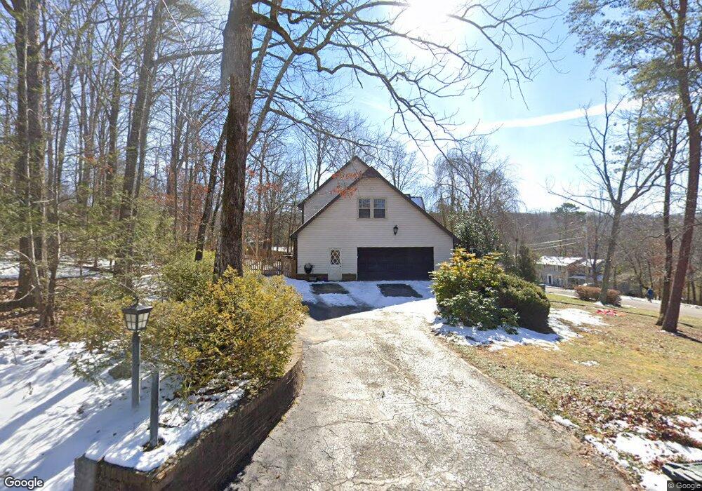
902 Shady Cir Unit 126 Signal Mountain, TN 37377
Estimated Value: $658,895 - $742,000
--
Bed
4
Baths
2,927
Sq Ft
$240/Sq Ft
Est. Value
About This Home
This home is located at 902 Shady Cir Unit 126, Signal Mountain, TN 37377 and is currently estimated at $701,724, approximately $239 per square foot. 902 Shady Cir Unit 126 is a home located in Hamilton County with nearby schools including Nolan Elementary School, Signal Mountain Middle/High School, and Signal Mountain Christian School.
Ownership History
Date
Name
Owned For
Owner Type
Purchase Details
Closed on
May 29, 2019
Sold by
Fisher Robert K and Fisher Pamela A
Bought by
Rasoulian Kassim and Rasoulian Molly Hedrick
Current Estimated Value
Home Financials for this Owner
Home Financials are based on the most recent Mortgage that was taken out on this home.
Original Mortgage
$289,600
Outstanding Balance
$254,629
Interest Rate
4.1%
Mortgage Type
New Conventional
Estimated Equity
$447,095
Purchase Details
Closed on
May 2, 2002
Sold by
Walker Stephen and Davis Arthur
Bought by
Fisher Robert K and Fisher Pamela A
Home Financials for this Owner
Home Financials are based on the most recent Mortgage that was taken out on this home.
Original Mortgage
$248,511
Interest Rate
7.16%
Create a Home Valuation Report for This Property
The Home Valuation Report is an in-depth analysis detailing your home's value as well as a comparison with similar homes in the area
Home Values in the Area
Average Home Value in this Area
Purchase History
| Date | Buyer | Sale Price | Title Company |
|---|---|---|---|
| Rasoulian Kassim | $362,000 | Realty T&E Svcs Inc | |
| Fisher Robert K | $248,000 | -- |
Source: Public Records
Mortgage History
| Date | Status | Borrower | Loan Amount |
|---|---|---|---|
| Open | Rasoulian Kassim | $289,600 | |
| Previous Owner | Fisher Robert K | $248,511 |
Source: Public Records
Tax History Compared to Growth
Tax History
| Year | Tax Paid | Tax Assessment Tax Assessment Total Assessment is a certain percentage of the fair market value that is determined by local assessors to be the total taxable value of land and additions on the property. | Land | Improvement |
|---|---|---|---|---|
| 2024 | $2,096 | $93,675 | $0 | $0 |
| 2023 | $2,096 | $93,675 | $0 | $0 |
| 2022 | $2,096 | $93,675 | $0 | $0 |
| 2021 | $2,096 | $93,675 | $0 | $0 |
| 2020 | $2,361 | $85,400 | $0 | $0 |
| 2019 | $2,361 | $85,400 | $0 | $0 |
| 2018 | $2,361 | $85,400 | $0 | $0 |
| 2017 | $2,361 | $85,400 | $0 | $0 |
| 2016 | $2,019 | $0 | $0 | $0 |
| 2015 | $2,019 | $73,025 | $0 | $0 |
| 2014 | $2,019 | $0 | $0 | $0 |
Source: Public Records
Map
Nearby Homes
- 16 Northfield Rd
- 422 Timberlinks Dr
- 12 Mountain Orchard Path
- 421 Timberlinks Dr
- 5734 U S 127
- 11 Saint Nicholas Way
- 0 Majestic Oaks Dr Unit 24033570
- 10 Majestic Oaks Dr
- 10 Acres Majestic Oaks Dr
- 25 Ridgerock Dr
- 102 Sunnybrook Trail
- 714 Berry Spring Path
- 0 Skyline Park Dr Unit 1525124
- 837 Skyline Park Dr
- 1713 Timesville Rd
- 848 Skyline Park Dr
- 1702 James Blvd
- 2929 Battles Way
- 907 Kentucky Ave
- 1018 Ridgeway Ave