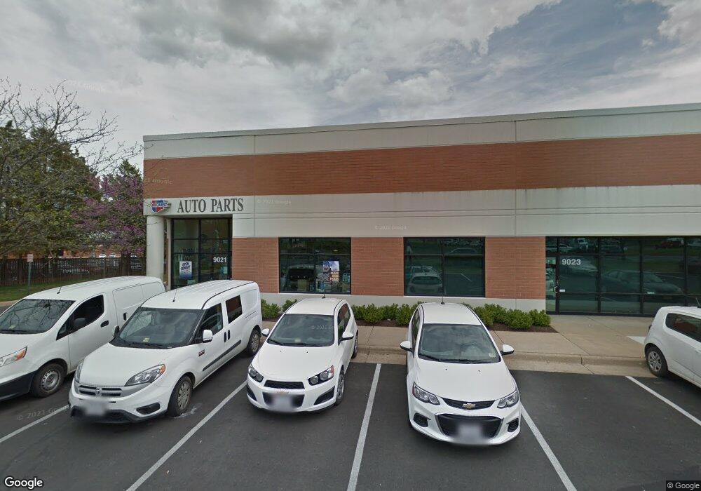
9021 Euclid Ave Manassas, VA 20110
Old Town Manassas Neighborhood
--
Bed
--
Bath
6,173
Sq Ft
12.28
Acres
About This Home
This home is located at 9021 Euclid Ave, Manassas, VA 20110. 9021 Euclid Ave is a home located in Manassas City with nearby schools including Baldwin Elementary School, Mayfield Intermediate School, and Grace E. Metz Middle School.
Ownership History
Date
Name
Owned For
Owner Type
Purchase Details
Closed on
Aug 18, 2025
Sold by
Kao/Buchanan Euclid Avenue Llc
Bought by
Euclid Business Park Owner Llc
Home Financials for this Owner
Home Financials are based on the most recent Mortgage that was taken out on this home.
Original Mortgage
$61,198,000
Outstanding Balance
$61,144,059
Interest Rate
6.63%
Mortgage Type
New Conventional
Create a Home Valuation Report for This Property
The Home Valuation Report is an in-depth analysis detailing your home's value as well as a comparison with similar homes in the area
Home Values in the Area
Average Home Value in this Area
Purchase History
| Date | Buyer | Sale Price | Title Company |
|---|---|---|---|
| Euclid Business Park Owner Llc | $38,850,000 | Essex Title Llc |
Source: Public Records
Mortgage History
| Date | Status | Borrower | Loan Amount |
|---|---|---|---|
| Open | Euclid Business Park Owner Llc | $61,198,000 |
Source: Public Records
Tax History Compared to Growth
Tax History
| Year | Tax Paid | Tax Assessment Tax Assessment Total Assessment is a certain percentage of the fair market value that is determined by local assessors to be the total taxable value of land and additions on the property. | Land | Improvement |
|---|---|---|---|---|
| 2024 | $288,448 | $22,892,700 | $7,491,000 | $15,401,700 |
| 2023 | $276,027 | $21,906,900 | $5,350,500 | $16,556,400 |
| 2022 | $226,503 | $16,878,000 | $3,296,000 | $13,582,000 |
| 2021 | $222,648 | $15,580,700 | $3,296,000 | $12,284,700 |
| 2020 | $226,046 | $15,482,600 | $3,296,000 | $12,186,600 |
| 2019 | $208,570 | $14,092,600 | $3,296,000 | $10,796,600 |
| 2018 | $202,098 | $13,842,300 | $3,296,000 | $10,546,300 |
| 2017 | -- | $13,842,400 | $3,296,000 | $10,546,400 |
| 2016 | $194,209 | $13,842,400 | $0 | $0 |
| 2015 | -- | $13,842,400 | $3,296,000 | $10,546,400 |
| 2014 | -- | $0 | $0 | $0 |
Source: Public Records
Map
Nearby Homes
- 8639 Union Place
- 8605 Burnside Ct
- 8243 Knight Station Way
- 8264 Knight Station Way
- 9552 Cannoneer Ct Unit 204
- 9554 Cannoneer Ct Unit 101
- 1106A Dabney Dr
- 1110B Dabney Dr
- 1108B Dabney Dr
- 1112B Dabney Dr
- 1012B Mays Ln
- 1002 Mays Ln
- 1008 Mays Ln
- 202 Park Central Terrace
- 8300 Sunnyside Ct
- 9203 Matthew Dr
- 8385 Buttress Ln Unit 103
- 8393 Buttress Ln Unit 101
- 707 Thomas Ln Unit B
- 167 Scott Dr
- 8490 Kao Cir
- 9026 Euclid Ave
- 8418 Kao Cir
- 8484 Kao Cir
- 8514 Bucyrus Ct Unit 102-108
- 8514 Bucyrus Ct
- 8420 Kao Cir
- 8909 Euclid Ave
- 9022 Euclid Ave
- 9020 Euclid Ave
- 9024 Euclid Ave
- 9059 Euclid Ave
- 8430 Kao Cir
- 8472 Kao Cir
- 9030 Euclid Ave
- 8512 Bucyrus Ct
- 8510 Bucyrus Ct
- 9046 Euclid Ave
- 9048 Euclid Ave
- 8500 Phoenix Dr