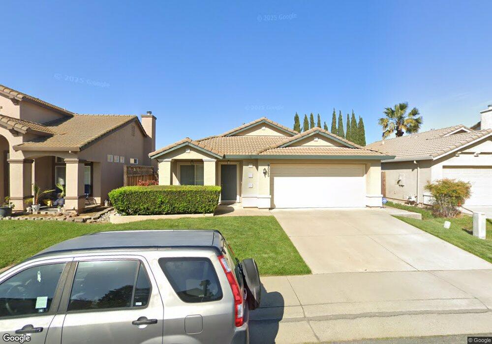
9025 Devon Crest Way Elk Grove, CA 95624
North East Elk Grove NeighborhoodEstimated Value: $298,000 - $541,000
3
Beds
2
Baths
1,485
Sq Ft
$315/Sq Ft
Est. Value
About This Home
This home is located at 9025 Devon Crest Way, Elk Grove, CA 95624 and is currently estimated at $468,505, approximately $315 per square foot. 9025 Devon Crest Way is a home located in Sacramento County with nearby schools including Arthur C. Butler Elementary School, T. R. Smedberg Middle School, and Sheldon High School.
Ownership History
Date
Name
Owned For
Owner Type
Purchase Details
Closed on
Nov 12, 1999
Sold by
Lennar Renaissance Inc
Bought by
Millsaps Christopher L and Chavez Graciela
Current Estimated Value
Home Financials for this Owner
Home Financials are based on the most recent Mortgage that was taken out on this home.
Original Mortgage
$155,495
Outstanding Balance
$47,725
Interest Rate
7.82%
Mortgage Type
FHA
Estimated Equity
$420,780
Create a Home Valuation Report for This Property
The Home Valuation Report is an in-depth analysis detailing your home's value as well as a comparison with similar homes in the area
Home Values in the Area
Average Home Value in this Area
Purchase History
| Date | Buyer | Sale Price | Title Company |
|---|---|---|---|
| Millsaps Christopher L | $158,000 | First American Title Ins Co |
Source: Public Records
Mortgage History
| Date | Status | Borrower | Loan Amount |
|---|---|---|---|
| Open | Millsaps Christopher L | $155,495 |
Source: Public Records
Tax History Compared to Growth
Tax History
| Year | Tax Paid | Tax Assessment Tax Assessment Total Assessment is a certain percentage of the fair market value that is determined by local assessors to be the total taxable value of land and additions on the property. | Land | Improvement |
|---|---|---|---|---|
| 2025 | $2,870 | $242,579 | $46,095 | $196,484 |
| 2024 | $2,870 | $237,824 | $45,192 | $192,632 |
| 2023 | $2,796 | $233,161 | $44,306 | $188,855 |
| 2022 | $2,738 | $228,590 | $43,438 | $185,152 |
| 2021 | $2,692 | $224,109 | $42,587 | $181,522 |
| 2020 | $2,655 | $221,812 | $42,151 | $179,661 |
| 2019 | $2,603 | $217,464 | $41,325 | $176,139 |
| 2018 | $2,438 | $213,201 | $40,515 | $172,686 |
| 2017 | $2,393 | $209,021 | $39,721 | $169,300 |
| 2016 | $2,276 | $204,924 | $38,943 | $165,981 |
| 2015 | $2,234 | $201,847 | $38,359 | $163,488 |
| 2014 | $2,197 | $197,894 | $37,608 | $160,286 |
Source: Public Records
Map
Nearby Homes
- 9033 Devon Crest Way
- 8621 Heritage Hill Dr
- 0 Heritage Hill Dr
- 8609 Orison Ct
- 8478 Alameda Park Dr
- 8486 Gurmit Ct
- 8352 Tannic Dr
- 8669 Banton Cir
- 8730 Bamarcia Dr
- 9065 Robbins Rd
- 8851 Silverberry Ave
- 8679 Spring House Way
- 9264 Lucchesi Dr
- 9286 Fosdyke Ct
- 9169 Garlington Ct
- 8809 Coral Berry Way
- 8269 Red Rock Dr
- 8906 Cobble Crest Dr
- 8831 Liscarney Way
- 9028 Brittany Park Dr
- 9029 Devon Crest Way
- 9017 Devon Crest Way
- 8539 Purcell Way
- 8543 Purcell Way
- 9037 Devon Crest Way
- 9024 Devon Crest Way
- 9013 Devon Crest Way
- 9110 Leland Oaks Ct
- 9016 Devon Crest Way
- 8547 Purcell Way
- 9041 Devon Crest Way
- 9114 Leland Oaks Ct
- 9009 Devon Crest Way
- 9119 Eastpointe Ct
- 9079 Keilana Way
- 9045 Devon Crest Way
- 9118 Leland Oaks Ct
- 8551 Purcell Way
- 9005 Devon Crest Way