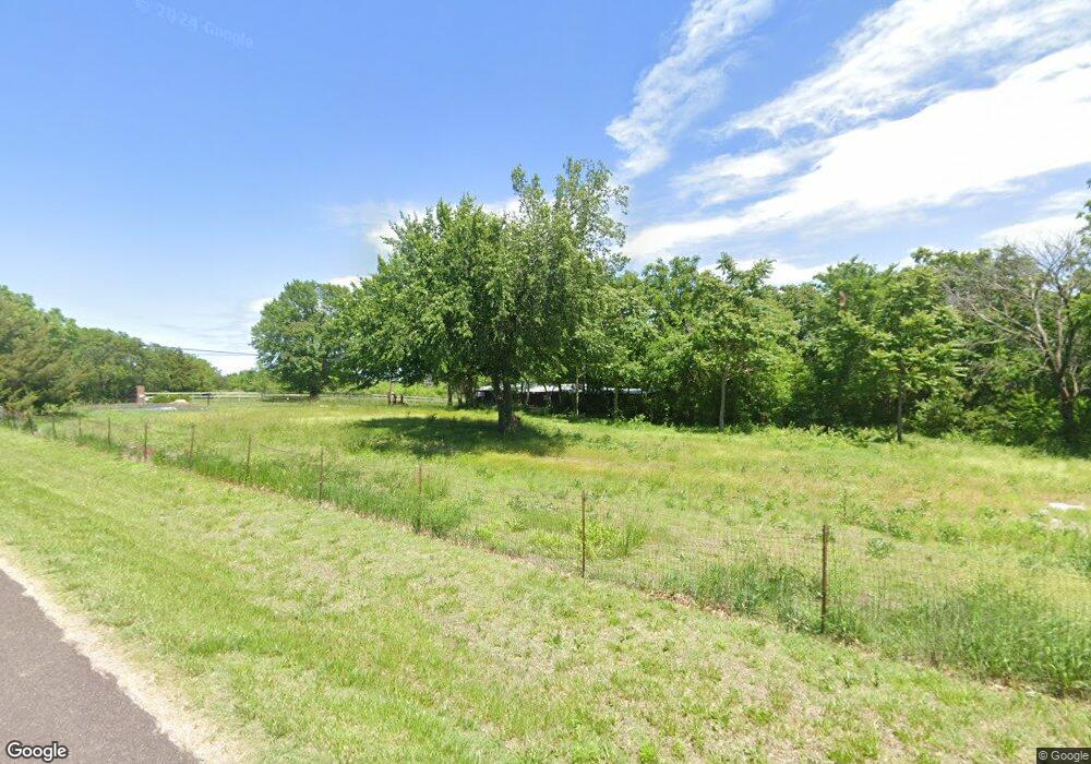
9025 SW 21st St Topeka, KS 66615
Estimated Value: $134,000
--
Bed
--
Bath
--
Sq Ft
5.82
Acres
About This Home
This home is located at 9025 SW 21st St, Topeka, KS 66615 and is currently priced at $134,000. 9025 SW 21st St is a home located in Shawnee County with nearby schools including Auburn Elementary School, Washburn Rural Middle School, and Washburn Rural High School.
Ownership History
Date
Name
Owned For
Owner Type
Purchase Details
Closed on
May 20, 2025
Sold by
Phil & Lisa Land Llc
Bought by
Freking Gretchen and Freking Mark J
Current Estimated Value
Purchase Details
Closed on
Aug 3, 2022
Sold by
Ritchey Phillip J and Ritchey Lisa A
Bought by
Phil & Lisa Land Llc
Purchase Details
Closed on
Jun 23, 2009
Sold by
Head Torrey P and Head Jennifer S
Bought by
Ritchey Phillip J and Ritchey Lisa A
Home Financials for this Owner
Home Financials are based on the most recent Mortgage that was taken out on this home.
Original Mortgage
$65,000
Interest Rate
4.83%
Mortgage Type
Future Advance Clause Open End Mortgage
Create a Home Valuation Report for This Property
The Home Valuation Report is an in-depth analysis detailing your home's value as well as a comparison with similar homes in the area
Home Values in the Area
Average Home Value in this Area
Purchase History
| Date | Buyer | Sale Price | Title Company |
|---|---|---|---|
| Freking Gretchen | -- | Heartland Title | |
| Phil & Lisa Land Llc | -- | None Listed On Document | |
| Ritchey Phillip J | -- | Lawyers Title Of Topeka Inc |
Source: Public Records
Mortgage History
| Date | Status | Borrower | Loan Amount |
|---|---|---|---|
| Previous Owner | Ritchey Phillip J | $65,000 |
Source: Public Records
Tax History Compared to Growth
Tax History
| Year | Tax Paid | Tax Assessment Tax Assessment Total Assessment is a certain percentage of the fair market value that is determined by local assessors to be the total taxable value of land and additions on the property. | Land | Improvement |
|---|---|---|---|---|
| 2025 | $912 | $7,725 | -- | -- |
| 2023 | $912 | $7,380 | $0 | $0 |
| 2022 | $834 | $6,912 | $0 | $0 |
| 2021 | $742 | $6,061 | $0 | $0 |
| 2020 | $686 | $5,748 | $0 | $0 |
| 2019 | $695 | $5,749 | $0 | $0 |
| 2018 | $646 | $5,749 | $0 | $0 |
| 2017 | $663 | $5,504 | $0 | $0 |
| 2014 | $704 | $5,352 | $0 | $0 |
Source: Public Records
Map
Nearby Homes
- 2040 SW Cottonwood Ln
- 8001 SW 24th St
- ooo SW Hays Rd
- Blake Plan at Sherwood Park - Sherwood
- Olivia Plan at Sherwood Park - Sherwood
- Xavier Plan at Sherwood Park - Sherwood
- Heidi Plan at Sherwood Park - Sherwood
- Karlyn Plan at Sherwood Park - Sherwood
- Liam Plan at Sherwood Park - Sherwood
- Kate Plan at Sherwood Park - Sherwood
- Noah Plan at Sherwood Park - Sherwood
- Porter Plan at Sherwood Park - Sherwood
- Adalyn Plan at Sherwood Park - Sherwood
- Jaylee Plan at Sherwood Park - Sherwood
- Bee Plan at Sherwood Park - Sherwood
- Madeline Plan at Sherwood Park - Sherwood
- Bridgeport II Plan at Sherwood Park - Sherwood
- Colton Plan at Sherwood Park - Sherwood
- Scorpio Plan at Sherwood Park - Sherwood
- Thaddeus Plan at Sherwood Park - Sherwood
- 2105 SW Davis Dr
- 2137 SW Davis Dr
- 2141 SW Davis Dr
- 9100 SW 21st St
- 9005 SW 21st St
- 9129 SW 21st St
- 2151 SW Davis Dr
- 9030 SW 21st St
- 9042 SW 22nd St
- 2126 SW Hodges Rd
- 9032 SW 22nd St
- 2020 SW Cottonwood Ln
- 2157 SW Davis Dr
- 8946 SW 21st St
- 9138 SW 21st St
- 2206 SW Davis Dr
- 2140 SW Hodges Rd
- 2205 SW Davis Dr
- 2044 SW Hodges Rd
- 2100 SW Hodges Rd Unit Lot 13