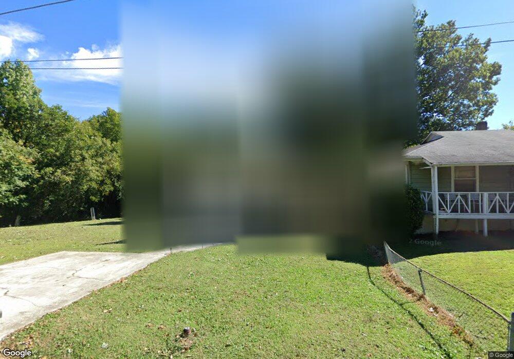
903 Carter St High Point, NC 27260
Greater High Point NeighborhoodEstimated Value: $141,890 - $190,000
3
Beds
2
Baths
1,225
Sq Ft
$142/Sq Ft
Est. Value
About This Home
This home is located at 903 Carter St, High Point, NC 27260 and is currently estimated at $173,473, approximately $141 per square foot. 903 Carter St is a home located in Guilford County with nearby schools including Triangle Lake Montessori School, Southwest Guilford Middle School, and Southwest Guilford High School.
Ownership History
Date
Name
Owned For
Owner Type
Purchase Details
Closed on
May 18, 2021
Sold by
Manning Bobby
Bought by
Manning Marilyn
Current Estimated Value
Purchase Details
Closed on
Sep 6, 2000
Sold by
Donald Kintner Nicholas and Donald Kristi M
Bought by
Manning Bobby R and Manning Marilyn
Home Financials for this Owner
Home Financials are based on the most recent Mortgage that was taken out on this home.
Original Mortgage
$71,250
Outstanding Balance
$34,002
Interest Rate
12.62%
Estimated Equity
$139,471
Create a Home Valuation Report for This Property
The Home Valuation Report is an in-depth analysis detailing your home's value as well as a comparison with similar homes in the area
Home Values in the Area
Average Home Value in this Area
Purchase History
| Date | Buyer | Sale Price | Title Company |
|---|---|---|---|
| Manning Marilyn | -- | None Available | |
| Manning Bobby R | $75,000 | -- |
Source: Public Records
Mortgage History
| Date | Status | Borrower | Loan Amount |
|---|---|---|---|
| Open | Manning Bobby R | $71,250 |
Source: Public Records
Tax History
| Year | Tax Paid | Tax Assessment Tax Assessment Total Assessment is a certain percentage of the fair market value that is determined by local assessors to be the total taxable value of land and additions on the property. | Land | Improvement |
|---|---|---|---|---|
| 2025 | $783 | $56,800 | $8,000 | $48,800 |
| 2024 | $783 | $56,800 | $8,000 | $48,800 |
| 2023 | $783 | $56,800 | $8,000 | $48,800 |
| 2022 | $766 | $56,800 | $8,000 | $48,800 |
| 2021 | $497 | $36,100 | $5,000 | $31,100 |
| 2020 | $497 | $36,100 | $5,000 | $31,100 |
| 2019 | $497 | $36,100 | $0 | $0 |
| 2018 | $495 | $36,100 | $0 | $0 |
| 2017 | $495 | $36,100 | $0 | $0 |
| 2016 | $571 | $40,700 | $0 | $0 |
| 2015 | $574 | $40,700 | $0 | $0 |
| 2014 | $584 | $40,700 | $0 | $0 |
Source: Public Records
Map
Nearby Homes
- 811 Worth St
- 1908 Leonard Ave
- 1809 Franklin Ave
- 1806 Franklin Ave
- 1110 Worth St
- 1423 E Commerce Ave
- 2317 Purdy Ave
- 1111 Winslow St
- 1314 Franklin Ave
- 511 Hines St
- 430 New St
- 1601 E Green Dr
- 505 Kent Ct
- 230 Windley St
- 412 Meredith St
- 410 Meredith St
- 1614 Oneka Ave
- 1224 S Downing St
- 640 Wesley Dr
- 1204 Pearson Place
Your Personal Tour Guide
Ask me questions while you tour the home.