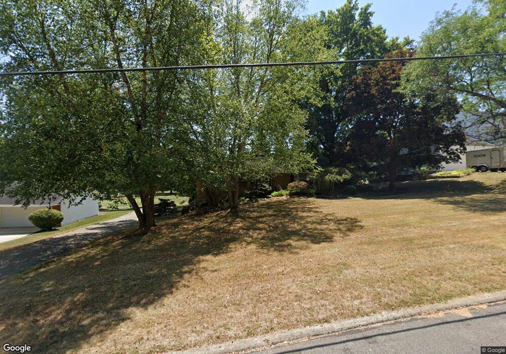
903 Country Club Ln Ashland, OH 44805
Estimated Value: $246,000 - $272,514
3
Beds
2
Baths
1,421
Sq Ft
$185/Sq Ft
Est. Value
About This Home
This home is located at 903 Country Club Ln, Ashland, OH 44805 and is currently estimated at $263,129, approximately $185 per square foot. 903 Country Club Ln is a home located in Ashland County with nearby schools including Ashland High School, Ashland County Community Academy, and St. Edward Elementary School.
Ownership History
Date
Name
Owned For
Owner Type
Purchase Details
Closed on
Dec 11, 2024
Sold by
Gerald D Mast Revocable Trust and Kathleen E Mast Revocable Trust
Bought by
Mast Kathleen E
Current Estimated Value
Home Financials for this Owner
Home Financials are based on the most recent Mortgage that was taken out on this home.
Original Mortgage
$193,600
Outstanding Balance
$190,061
Interest Rate
6.72%
Mortgage Type
New Conventional
Estimated Equity
$73,068
Purchase Details
Closed on
Jun 12, 2007
Sold by
Mast Gerald D
Bought by
Mast Gerald D and Mast Kathleen
Purchase Details
Closed on
Jul 12, 1976
Bought by
Mast Gerald D
Create a Home Valuation Report for This Property
The Home Valuation Report is an in-depth analysis detailing your home's value as well as a comparison with similar homes in the area
Home Values in the Area
Average Home Value in this Area
Purchase History
| Date | Buyer | Sale Price | Title Company |
|---|---|---|---|
| Mast Kathleen E | -- | None Listed On Document | |
| Sponsler Benjamin F | $242,000 | None Listed On Document | |
| Mast Kathleen E | -- | None Listed On Document | |
| Mast Gerald D | -- | -- | |
| Mast Gerald D | $54,000 | -- |
Source: Public Records
Mortgage History
| Date | Status | Borrower | Loan Amount |
|---|---|---|---|
| Open | Sponsler Benjamin F | $193,600 |
Source: Public Records
Tax History Compared to Growth
Tax History
| Year | Tax Paid | Tax Assessment Tax Assessment Total Assessment is a certain percentage of the fair market value that is determined by local assessors to be the total taxable value of land and additions on the property. | Land | Improvement |
|---|---|---|---|---|
| 2024 | $2,369 | $77,800 | $19,450 | $58,350 |
| 2023 | $2,041 | $77,800 | $19,450 | $58,350 |
| 2022 | $2,041 | $55,570 | $13,890 | $41,680 |
| 2021 | $2,049 | $55,570 | $13,890 | $41,680 |
| 2020 | $1,940 | $55,570 | $13,890 | $41,680 |
| 2019 | $1,768 | $48,230 | $13,220 | $35,010 |
| 2018 | $1,783 | $48,230 | $13,220 | $35,010 |
| 2017 | $1,790 | $48,230 | $13,220 | $35,010 |
| 2016 | $1,761 | $45,930 | $12,590 | $33,340 |
| 2015 | $1,745 | $45,930 | $12,590 | $33,340 |
| 2013 | $1,735 | $45,160 | $12,700 | $32,460 |
Source: Public Records
Map
Nearby Homes
- 453 Hillcrest Dr
- 1109 Eastern Ave
- 1011 Eastern Ave
- 31 Morgan Ave
- 416 Diamond St
- 1435 Township Road 853
- 1457 Township Road 853
- 0 Eagle Way
- 113 E Liberty St
- 150 College Ave
- 421 Center St
- 408 Cleveland Ave
- 1446 Township Road 805
- 634 Marlo Ave
- 219 W Washington St
- 531 Keen Ave
- 410 E 9th St
- 255 E 9th St
- 945 Virginia Ave
- 33 E 8th St
- 871 Country Club Ln
- 913 Country Club Ln
- 859 Country Club Ln
- 900 Country Club Ln
- 914 Country Club Ln
- 1005 Country Club Ln
- 849 Country Club Ln
- 924 Country Club Ln
- 854 Country Club Ln
- 1015 Country Club Ln
- 1000 Country Club Ln
- 839 Country Club Ln
- 863 Hillcrest Dr
- 844 Country Club Ln
- 903 Hillcrest Dr
- 925 Hillcrest Dr
- 911 Hillcrest Dr
- 857 Hillcrest Dr
- 917 Hillcrest Dr
- 1025 Country Club Ln