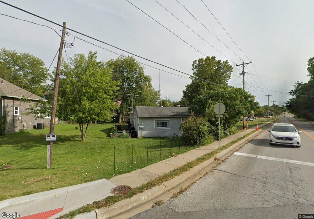
903 E Walnut St Belton, MO 64012
Estimated Value: $184,959 - $220,000
2
Beds
2
Baths
1,771
Sq Ft
$114/Sq Ft
Est. Value
About This Home
This home is located at 903 E Walnut St, Belton, MO 64012 and is currently estimated at $201,740, approximately $113 per square foot. 903 E Walnut St is a home located in Cass County with nearby schools including Scott Elementary School, Belton Middle School, and Mill Creek Upper Elementary School.
Ownership History
Date
Name
Owned For
Owner Type
Purchase Details
Closed on
Mar 12, 2007
Sold by
Lasalle National Bank
Bought by
Miller Diane Larol
Current Estimated Value
Home Financials for this Owner
Home Financials are based on the most recent Mortgage that was taken out on this home.
Original Mortgage
$63,000
Outstanding Balance
$37,837
Interest Rate
6.3%
Mortgage Type
New Conventional
Estimated Equity
$163,903
Purchase Details
Closed on
Sep 29, 2005
Sold by
Olde Towne Construction & Renovation Llc
Bought by
Gutierrez Christina
Home Financials for this Owner
Home Financials are based on the most recent Mortgage that was taken out on this home.
Original Mortgage
$74,900
Interest Rate
11.45%
Mortgage Type
Adjustable Rate Mortgage/ARM
Create a Home Valuation Report for This Property
The Home Valuation Report is an in-depth analysis detailing your home's value as well as a comparison with similar homes in the area
Home Values in the Area
Average Home Value in this Area
Purchase History
| Date | Buyer | Sale Price | Title Company |
|---|---|---|---|
| Miller Diane Larol | -- | -- | |
| Gutierrez Christina | -- | -- |
Source: Public Records
Mortgage History
| Date | Status | Borrower | Loan Amount |
|---|---|---|---|
| Open | Miller Diane Larol | $63,000 | |
| Previous Owner | Gutierrez Christina | $74,900 |
Source: Public Records
Tax History
| Year | Tax Paid | Tax Assessment Tax Assessment Total Assessment is a certain percentage of the fair market value that is determined by local assessors to be the total taxable value of land and additions on the property. | Land | Improvement |
|---|---|---|---|---|
| 2025 | $1,148 | $15,930 | $1,430 | $14,500 |
| 2024 | $1,148 | $13,920 | $1,300 | $12,620 |
| 2023 | $1,145 | $13,920 | $1,300 | $12,620 |
| 2022 | $1,011 | $12,180 | $1,300 | $10,880 |
| 2021 | $1,011 | $12,180 | $1,300 | $10,880 |
| 2020 | $970 | $11,620 | $1,300 | $10,320 |
| 2019 | $950 | $11,620 | $1,300 | $10,320 |
| 2018 | $844 | $10,410 | $1,040 | $9,370 |
| 2017 | $810 | $10,410 | $1,040 | $9,370 |
| 2016 | $810 | $9,940 | $1,040 | $8,900 |
| 2015 | $810 | $9,940 | $1,040 | $8,900 |
| 2014 | $813 | $9,940 | $1,040 | $8,900 |
| 2013 | -- | $9,940 | $1,040 | $8,900 |
Source: Public Records
Map
Nearby Homes
Your Personal Tour Guide
Ask me questions while you tour the home.