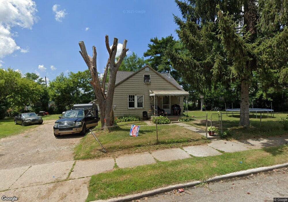
903 Melrose St Pontiac, MI 48340
Estimated Value: $133,737 - $169,000
3
Beds
2
Baths
1,358
Sq Ft
$114/Sq Ft
Est. Value
About This Home
This home is located at 903 Melrose St, Pontiac, MI 48340 and is currently estimated at $154,184, approximately $113 per square foot. 903 Melrose St is a home located in Oakland County with nearby schools including Rogers Elementary, Pontiac Middle School, and Pontiac High School.
Ownership History
Date
Name
Owned For
Owner Type
Purchase Details
Closed on
Dec 19, 2003
Sold by
Schneider Richard
Bought by
Schneider Richard and Schneider Renee
Current Estimated Value
Home Financials for this Owner
Home Financials are based on the most recent Mortgage that was taken out on this home.
Original Mortgage
$56,700
Interest Rate
5.74%
Mortgage Type
Purchase Money Mortgage
Purchase Details
Closed on
May 14, 1997
Sold by
Mooney Ronald L
Bought by
Schneider Richard
Home Financials for this Owner
Home Financials are based on the most recent Mortgage that was taken out on this home.
Original Mortgage
$36,750
Interest Rate
7.42%
Create a Home Valuation Report for This Property
The Home Valuation Report is an in-depth analysis detailing your home's value as well as a comparison with similar homes in the area
Home Values in the Area
Average Home Value in this Area
Purchase History
| Date | Buyer | Sale Price | Title Company |
|---|---|---|---|
| Schneider Richard | -- | Transcontinental Title Co | |
| Schneider Richard | $49,000 | -- |
Source: Public Records
Mortgage History
| Date | Status | Borrower | Loan Amount |
|---|---|---|---|
| Closed | Schneider Richard | $56,700 | |
| Previous Owner | Schneider Richard | $36,750 |
Source: Public Records
Tax History Compared to Growth
Tax History
| Year | Tax Paid | Tax Assessment Tax Assessment Total Assessment is a certain percentage of the fair market value that is determined by local assessors to be the total taxable value of land and additions on the property. | Land | Improvement |
|---|---|---|---|---|
| 2024 | $962 | $45,310 | $0 | $0 |
| 2023 | $917 | $42,060 | $0 | $0 |
| 2022 | $1,340 | $36,320 | $0 | $0 |
| 2021 | $1,653 | $32,010 | $0 | $0 |
| 2020 | $833 | $28,660 | $0 | $0 |
| 2019 | $886 | $24,230 | $0 | $0 |
| 2018 | $850 | $21,520 | $0 | $0 |
| 2017 | $1,523 | $20,350 | $0 | $0 |
| 2016 | $842 | $16,990 | $0 | $0 |
| 2015 | -- | $15,390 | $0 | $0 |
| 2014 | -- | $14,920 | $0 | $0 |
| 2011 | -- | $27,110 | $0 | $0 |
Source: Public Records
Map
Nearby Homes
- 821 Robinwood St
- 785 Kenilworth Ave
- 802 Cameron Ave
- 973 Kettering Ave
- 790 Cameron Ave
- 790 Parkwood Ave
- 770 Cameron Ave
- 808 Kettering Ave
- 715 Kenilworth Ave
- 731 1st Ave
- 663 Lenox Ave
- 644 Brady Ln
- 667 Raskob St
- 778 4th Ave
- 630 E Madison Ave
- 457 Cameron Ave
- 627 Wesbrook St
- 620 Wesbrook St
- 608 Brady Ln
- 614 E Tennyson Ave
- 893 Melrose St
- 915 Melrose St
- 896 Stirling St
- 887 Melrose St
- 902 Melrose St
- 906 Melrose St
- 912 Melrose St
- 886 Stirling St
- 883 Melrose St
- 892 Melrose St
- 882 Stirling St
- 925 Melrose St
- 886 Melrose St
- 876 Stirling St
- 924 Melrose St
- 903 Kenilworth Ave
- 901 Stirling St
- 929 Melrose St
- 897 Kenilworth Ave
- 873 Melrose St