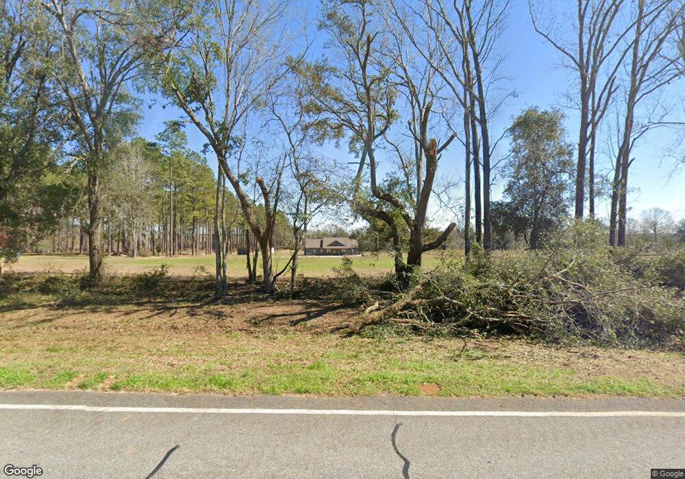
9030 Moultrie Hwy Quitman, GA 31643
Estimated Value: $322,000 - $445,446
--
Bed
--
Bath
2,210
Sq Ft
$170/Sq Ft
Est. Value
About This Home
This home is located at 9030 Moultrie Hwy, Quitman, GA 31643 and is currently estimated at $375,362, approximately $169 per square foot. 9030 Moultrie Hwy is a home with nearby schools including North Brooks Elementary School.
Ownership History
Date
Name
Owned For
Owner Type
Purchase Details
Closed on
Jun 30, 2020
Sold by
Willaford Cecil Franklin
Bought by
Jones Pamela and Jones Amanda
Current Estimated Value
Purchase Details
Closed on
Dec 16, 2015
Sold by
Willaford Cecil Franklin
Bought by
Willaford James Mitchell
Purchase Details
Closed on
Jul 13, 2011
Sold by
Willaford Cecil Franklin
Bought by
Conservation Use Covenant Recording
Purchase Details
Closed on
Jun 23, 1983
Sold by
Willaford Bernard
Bought by
Willaford Gussie L
Create a Home Valuation Report for This Property
The Home Valuation Report is an in-depth analysis detailing your home's value as well as a comparison with similar homes in the area
Home Values in the Area
Average Home Value in this Area
Purchase History
| Date | Buyer | Sale Price | Title Company |
|---|---|---|---|
| Jones Pamela | -- | -- | |
| Willaford James Mitchell | -- | -- | |
| Conservation Use Covenant Recording | -- | -- | |
| Willaford Gussie L | -- | -- |
Source: Public Records
Tax History Compared to Growth
Tax History
| Year | Tax Paid | Tax Assessment Tax Assessment Total Assessment is a certain percentage of the fair market value that is determined by local assessors to be the total taxable value of land and additions on the property. | Land | Improvement |
|---|---|---|---|---|
| 2024 | $4,111 | $154,680 | $22,400 | $132,280 |
| 2023 | $2,439 | $89,040 | $20,280 | $68,760 |
| 2022 | $580 | $19,320 | $19,320 | $0 |
| 2021 | $601 | $20,080 | $20,080 | $0 |
| 2020 | $558 | $20,080 | $20,080 | $0 |
| 2019 | $83 | $19,320 | $19,320 | $0 |
| 2018 | $570 | $19,520 | $19,520 | $0 |
| 2017 | $81 | $19,520 | $19,520 | $0 |
| 2016 | $79 | $19,520 | $19,520 | $0 |
| 2015 | -- | $19,520 | $19,520 | $0 |
| 2014 | -- | $19,520 | $19,520 | $0 |
| 2013 | -- | $19,520 | $19,520 | $0 |
Source: Public Records
Map
Nearby Homes
- 916 Robinson Rd
- 85 Hitch St
- 11439 Adel Hwy
- 168 Azalea St
- 237 Turkey Ridge Ln
- 1440 Peach Rd
- 302 Waterside Dr
- 804 Morris Ave
- 802 Morris Ave
- 714 Morris Ave
- 1002 N Madison St
- 304 W Rountree St
- 602 N Webster St
- 621 N Court St
- 2818 Dry Lake Rd
- 606 N Court St
- 4386 Studstill Rd
- 503 N Culpepper St
- 2275 Old Coffee Rd
- 1136 Nesbitt Rd
- 9047 Moultrie Hwy
- 9092 Moultrie Hwy
- 8914 Moultrie Hwy
- 9126 Moultrie Hwy
- 8834 Moultrie Hwy
- 8778 Moultrie Hwy
- 9271 Moultrie Hwy
- 9397 Moultrie Hwy
- 9441 Moultrie Hwy
- 9445 Moultrie Hwy
- 9449 Moultrie Hwy
- 235 Redwood Ln
- 217 Redwood Ln
- 292 Redwood Ln
- 345 Redwood Ln
- 79 Redwood Ln
- 129 Redwood Ln
- 181 Redwood Ln
- 6038 Coffee Rd
- 105 Redwood Ln
