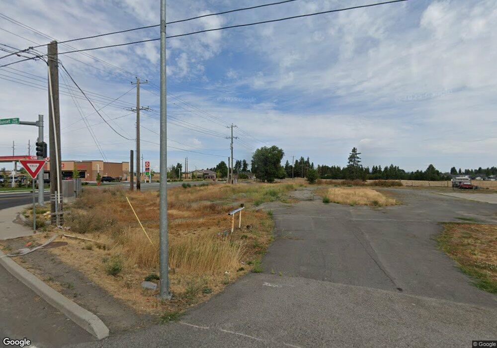
9030 W Sunset Hwy Spokane, WA 99224
West Spokane NeighborhoodEstimated Value: $928,579
--
Bed
7
Baths
52,707
Sq Ft
$18/Sq Ft
Est. Value
About This Home
This home is located at 9030 W Sunset Hwy, Spokane, WA 99224 and is currently estimated at $928,579, approximately $17 per square foot. 9030 W Sunset Hwy is a home located in Spokane County with nearby schools including Phil Snowdon Elementary School, Westwood Middle School, and Cheney High School.
Ownership History
Date
Name
Owned For
Owner Type
Purchase Details
Closed on
Dec 27, 2017
Sold by
Flinrck
Bought by
Ajr
Current Estimated Value
Purchase Details
Closed on
Jul 12, 2013
Sold by
Flintrock Llc
Bought by
City Of Spokane
Purchase Details
Closed on
Aug 23, 2006
Sold by
Idler Donald E and Idler Beverly F
Bought by
Flintrock Llc
Home Financials for this Owner
Home Financials are based on the most recent Mortgage that was taken out on this home.
Original Mortgage
$600,000
Interest Rate
6.7%
Mortgage Type
Commercial
Purchase Details
Closed on
May 12, 1997
Sold by
Bradley Shirley M
Bought by
Bradley Arthur
Create a Home Valuation Report for This Property
The Home Valuation Report is an in-depth analysis detailing your home's value as well as a comparison with similar homes in the area
Home Values in the Area
Average Home Value in this Area
Purchase History
| Date | Buyer | Sale Price | Title Company |
|---|---|---|---|
| Ajr | $471,176 | First American Title Ins Co | |
| City Of Spokane | -- | First American Title Ins Co | |
| Flintrock Llc | $786,000 | None Available | |
| Bradley Arthur | -- | -- |
Source: Public Records
Mortgage History
| Date | Status | Borrower | Loan Amount |
|---|---|---|---|
| Previous Owner | Flintrock Llc | $600,000 |
Source: Public Records
Tax History Compared to Growth
Tax History
| Year | Tax Paid | Tax Assessment Tax Assessment Total Assessment is a certain percentage of the fair market value that is determined by local assessors to be the total taxable value of land and additions on the property. | Land | Improvement |
|---|---|---|---|---|
| 2025 | $9,262 | $878,290 | $407,590 | $470,700 |
| 2024 | $9,262 | $936,290 | $407,590 | $528,700 |
| 2023 | $4,845 | $799,990 | $407,590 | $392,400 |
| 2022 | $5,760 | $549,870 | $229,270 | $320,600 |
| 2021 | $5,898 | $509,670 | $229,270 | $280,400 |
| 2020 | $4,894 | $401,020 | $129,920 | $271,100 |
| 2019 | $4,627 | $395,410 | $135,010 | $260,400 |
| 2018 | $5,709 | $424,120 | $129,920 | $294,200 |
| 2017 | $5,653 | $457,820 | $129,920 | $327,900 |
| 2016 | $5,913 | $459,720 | $129,920 | $329,800 |
| 2015 | $6,161 | $459,820 | $129,920 | $329,900 |
| 2014 | -- | $462,620 | $129,920 | $332,700 |
| 2013 | -- | $0 | $0 | $0 |
Source: Public Records
Map
Nearby Homes
- 1106 S Oswald St
- 4611 W Sunset Hwy Unit 1720 S. Assembly Roa
- 1105 S Oswald St
- 1119 S Soda Rd
- 9107 W Pirates Ct
- 1101 S Pillar Rock Dr
- 8630 W Campus Dr
- LOT U S Route 2
- 8604 W Campus Dr
- 1551 S Deer Heights Rd Unit C-105
- 916 S Pillar Rock Dr
- 1017 Vandals Ct
- 8604 W 8th Ave
- 1112 S Comax Ct
- 902 S Bogen Ct
- 00 N Hayford Rd
- 1625 S Hayford Rd
- 7527 W Greenwood Rd
- 8323 W Mission Rd
- 000 W 10th & 12th Ave
- 1308 S Flint Rd
- O Flint Rd
- 1210 S Flint Rd
- 9113 Pirates Ct Unit PE66
- 9030 W Campus Dr Unit PE 64
- 9030 W Campus Dr
- 9119 Pirates Ct Unit PE67
- 9107 Pirates Ct Unit PE65
- 9107 Pirates Ct
- 9029 W Campus Dr
- 9029 W Campus Dr Unit 9 of 2
- 9029 W Campus Dr Unit 2 of 3
- 9029 W Campus Dr Unit PR 3/3
- 9029 W Campus Dr Unit 8 of 2
- 914 S Flint Rd
- 8913 W Hilton Ave Unit 9101 W Hilton Ave
- 9028 W Campus Dr Unit PE 63
- 9028 W Campus Dr
- 9125 Pirates Ct Unit PE68
- 9125 Pirates Ct