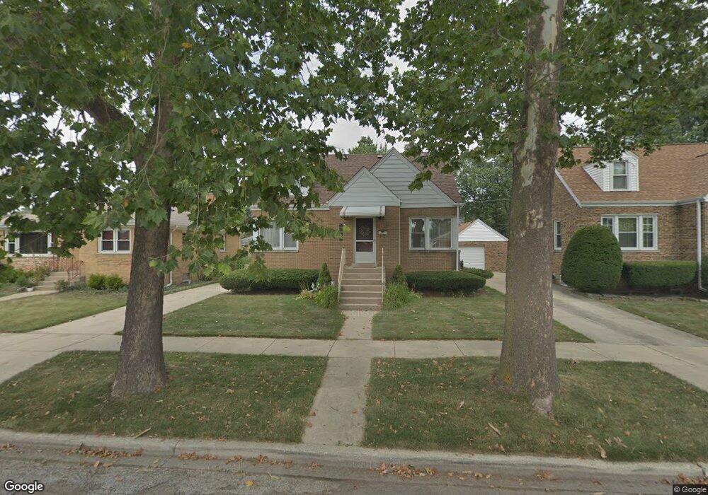
9032 Roach Ave Brookfield, IL 60513
Estimated Value: $335,000 - $385,000
3
Beds
2
Baths
1,341
Sq Ft
$272/Sq Ft
Est. Value
About This Home
This home is located at 9032 Roach Ave, Brookfield, IL 60513 and is currently estimated at $364,307, approximately $271 per square foot. 9032 Roach Ave is a home located in Cook County with nearby schools including S. E. Gross Middle School, Brook Park Elementary School, and Riverside Brookfield High School.
Ownership History
Date
Name
Owned For
Owner Type
Purchase Details
Closed on
Jan 28, 2022
Sold by
Czerwonka George and Czerwonka Judith M
Bought by
Czerwonka George and Czerwonka Judith
Current Estimated Value
Purchase Details
Closed on
Jan 19, 2022
Sold by
Czerwonka George and Czerwonka Judith M
Bought by
Czerwonka George and Czerwonka Judith
Purchase Details
Closed on
Jul 3, 1995
Sold by
Bensfield John
Bought by
Czerwonka George and Czerwonka Judith M
Home Financials for this Owner
Home Financials are based on the most recent Mortgage that was taken out on this home.
Original Mortgage
$122,400
Interest Rate
7.79%
Create a Home Valuation Report for This Property
The Home Valuation Report is an in-depth analysis detailing your home's value as well as a comparison with similar homes in the area
Home Values in the Area
Average Home Value in this Area
Purchase History
| Date | Buyer | Sale Price | Title Company |
|---|---|---|---|
| Czerwonka George | -- | -- | |
| Czerwonka George | -- | -- | |
| Czerwonka George | -- | -- | |
| Czerwonka George | $144,000 | -- |
Source: Public Records
Mortgage History
| Date | Status | Borrower | Loan Amount |
|---|---|---|---|
| Previous Owner | Czerwonka George | $122,400 |
Source: Public Records
Tax History
| Year | Tax Paid | Tax Assessment Tax Assessment Total Assessment is a certain percentage of the fair market value that is determined by local assessors to be the total taxable value of land and additions on the property. | Land | Improvement |
|---|---|---|---|---|
| 2025 | $7,153 | $26,000 | $4,380 | $21,620 |
| 2024 | $7,153 | $26,000 | $4,380 | $21,620 |
| 2023 | $6,167 | $26,000 | $4,380 | $21,620 |
| 2022 | $6,167 | $20,957 | $3,754 | $17,203 |
| 2021 | $6,048 | $20,957 | $3,754 | $17,203 |
| 2020 | $6,053 | $20,957 | $3,754 | $17,203 |
| 2019 | $6,432 | $22,483 | $3,441 | $19,042 |
| 2018 | $6,172 | $22,483 | $3,441 | $19,042 |
| 2017 | $6,158 | $23,718 | $3,441 | $20,277 |
| 2016 | $4,937 | $17,544 | $3,128 | $14,416 |
| 2015 | $5,220 | $19,086 | $3,128 | $15,958 |
| 2014 | $5,177 | $19,086 | $3,128 | $15,958 |
| 2013 | $5,738 | $21,929 | $3,128 | $18,801 |
Source: Public Records
Map
Nearby Homes
- 3108 Oak Ave
- 1220 N Maple Ave
- 8900 31st St Unit 8
- 9027 27th St
- 1424 N Maple Ave
- 3229 Maple Ave
- 9120 26th Place
- 1127 Morgan Ave
- 3417 Oak Ave
- 3321 Harrison Ave
- 9516 Jackson Ave
- 3545 Oak Ave
- 1020 Newberry Ave
- 9512 Jefferson Ave
- 2322 S 17th Ave Unit 5
- 2334 S 10th Ave
- 2310 S 17th Ave
- 2263 S 14th Ave
- 3533 Morton Ave
- 2253 S 15th Ave
Your Personal Tour Guide
Ask me questions while you tour the home.