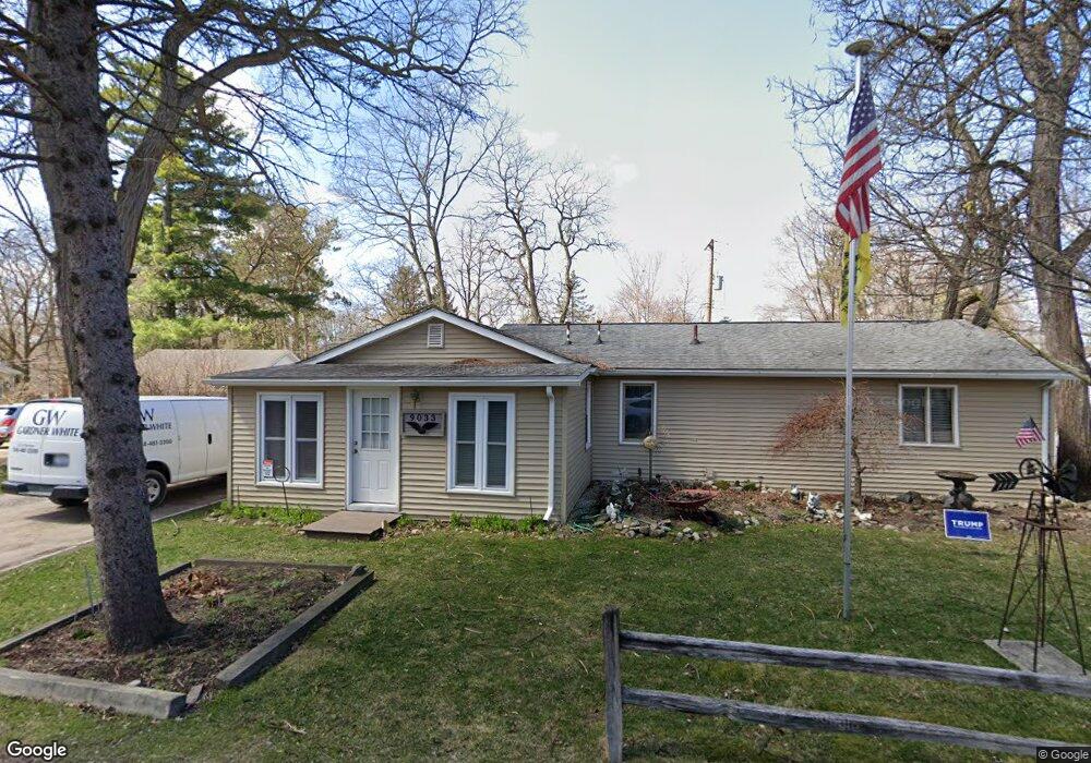
9033 Walnut Dr Whitmore Lake, MI 48189
Estimated Value: $250,000 - $309,000
3
Beds
2
Baths
1,578
Sq Ft
$179/Sq Ft
Est. Value
About This Home
This home is located at 9033 Walnut Dr, Whitmore Lake, MI 48189 and is currently estimated at $281,787, approximately $178 per square foot. 9033 Walnut Dr is a home located in Washtenaw County with nearby schools including Whitmore Lake Elementary School, Whitmore Lake High School, and Livingston Classical Academy.
Ownership History
Date
Name
Owned For
Owner Type
Purchase Details
Closed on
Feb 3, 2020
Sold by
Dye Hugh James
Bought by
Dye Hugh James
Current Estimated Value
Purchase Details
Closed on
Dec 11, 2002
Sold by
Pieske Cheryl Lynn
Bought by
Dye Hugh James
Create a Home Valuation Report for This Property
The Home Valuation Report is an in-depth analysis detailing your home's value as well as a comparison with similar homes in the area
Home Values in the Area
Average Home Value in this Area
Purchase History
| Date | Buyer | Sale Price | Title Company |
|---|---|---|---|
| Dye Hugh James | -- | Timios Inc | |
| Dye Hugh James | -- | -- |
Source: Public Records
Tax History Compared to Growth
Tax History
| Year | Tax Paid | Tax Assessment Tax Assessment Total Assessment is a certain percentage of the fair market value that is determined by local assessors to be the total taxable value of land and additions on the property. | Land | Improvement |
|---|---|---|---|---|
| 2025 | $624 | $129,500 | $0 | $0 |
| 2024 | $606 | $116,700 | $0 | $0 |
| 2023 | $577 | $99,500 | $0 | $0 |
| 2022 | $2,173 | $89,400 | $0 | $0 |
| 2021 | $2,124 | $84,600 | $0 | $0 |
| 2020 | $2,104 | $82,400 | $0 | $0 |
| 2019 | $2,078 | $73,800 | $73,800 | $0 |
| 2018 | $2,031 | $71,800 | $0 | $0 |
| 2017 | $1,939 | $69,100 | $0 | $0 |
| 2016 | $496 | $46,692 | $0 | $0 |
| 2015 | -- | $46,553 | $0 | $0 |
| 2014 | -- | $45,100 | $0 | $0 |
| 2013 | -- | $45,100 | $0 | $0 |
Source: Public Records
Map
Nearby Homes
- 9119 Garfield Dr
- 66 E Shore Dr
- 8962 Sunflower Unit 49
- 371 E Shore Dr
- 9031 Posey Dr
- 9510 Main St
- 9509 Main St
- 0 Margaret St
- 000 Jennings Rd
- 00 Jennings Rd
- 0000 Jennings Rd
- 320 Barker Rd
- 11994 N Main St
- 435 Eight Mile Rd
- 11731 Valerie Ln
- 326 Emerald Cir S
- 0 Jennings Rd Unit 25041037
- 0 Six Mile Unit 25038336
- 0 Six Mile Unit 20251054704
- 0 Six Mile Unit 20251006647
- 9011 Walnut Dr
- 9049 Walnut Dr
- 9030 Butternut Rd
- 9022 Butternut Rd
- 9048 Butternut Rd
- 9030 Walnut Dr
- 9055 Walnut Dr
- 9056 Walnut Dr
- 9020 Walnut Dr
- 9058 Butternut Rd
- 9069 Walnut Dr
- 9043 Butternut Rd
- 9027 Butternut Rd
- 9070 Walnut Dr
- VL Butternut Dr
- 0 Butternut Dr Unit 5580096
- 0 Butternut Dr Unit R217032637
- 9076 Butternut Rd
- 9055 Butternut Rd
- 9013 Butternut Rd Unit Bldg-Unit