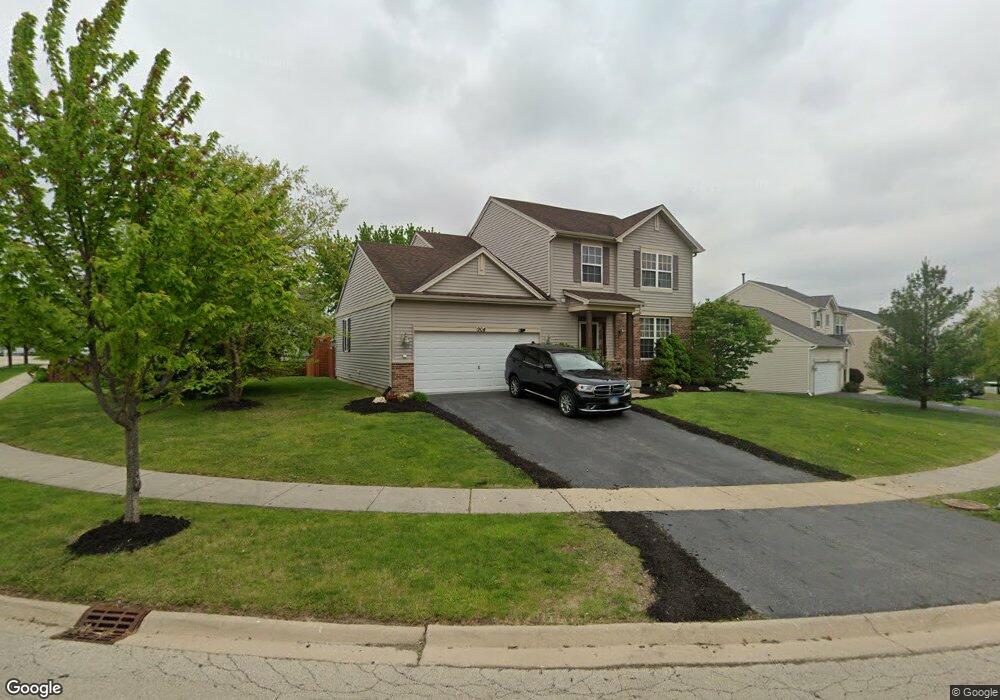
904 Briarcliff Dr Minooka, IL 60447
North Minooka NeighborhoodEstimated Value: $357,805 - $380,000
4
Beds
3
Baths
1,954
Sq Ft
$189/Sq Ft
Est. Value
About This Home
This home is located at 904 Briarcliff Dr, Minooka, IL 60447 and is currently estimated at $368,951, approximately $188 per square foot. 904 Briarcliff Dr is a home located in Kendall County with nearby schools including Jones Elementary School, Minooka Junior High School, and Minooka Intermediate School.
Ownership History
Date
Name
Owned For
Owner Type
Purchase Details
Closed on
Apr 29, 2019
Sold by
Rein Christian and Estate Of Mark E Rein
Bought by
Rein Christian
Current Estimated Value
Purchase Details
Closed on
Mar 13, 2007
Sold by
Summerfield Venture Llc
Bought by
Rein Mark E
Home Financials for this Owner
Home Financials are based on the most recent Mortgage that was taken out on this home.
Original Mortgage
$176,700
Outstanding Balance
$107,771
Interest Rate
6.4%
Mortgage Type
Purchase Money Mortgage
Estimated Equity
$261,180
Create a Home Valuation Report for This Property
The Home Valuation Report is an in-depth analysis detailing your home's value as well as a comparison with similar homes in the area
Home Values in the Area
Average Home Value in this Area
Purchase History
| Date | Buyer | Sale Price | Title Company |
|---|---|---|---|
| Rein Christian | -- | Attorney | |
| Rein Mark E | $221,000 | North American Title |
Source: Public Records
Mortgage History
| Date | Status | Borrower | Loan Amount |
|---|---|---|---|
| Open | Rein Mark E | $176,700 |
Source: Public Records
Tax History
| Year | Tax Paid | Tax Assessment Tax Assessment Total Assessment is a certain percentage of the fair market value that is determined by local assessors to be the total taxable value of land and additions on the property. | Land | Improvement |
|---|---|---|---|---|
| 2024 | $8,341 | $106,304 | $15,425 | $90,879 |
| 2023 | $6,618 | $97,216 | $14,690 | $82,526 |
| 2022 | $6,618 | $83,841 | $13,990 | $69,851 |
| 2021 | $6,485 | $80,134 | $14,203 | $65,931 |
| 2020 | $6,423 | $76,539 | $13,566 | $62,973 |
| 2019 | $6,469 | $75,141 | $13,318 | $61,823 |
| 2018 | $6,249 | $73,501 | $13,027 | $60,474 |
| 2017 | $6,129 | $69,240 | $13,027 | $56,213 |
| 2016 | $5,701 | $64,339 | $12,866 | $51,473 |
| 2015 | $5,300 | $59,780 | $12,210 | $47,570 |
| 2014 | -- | $57,937 | $12,210 | $45,727 |
| 2013 | -- | $57,937 | $12,210 | $45,727 |
Source: Public Records
Map
Nearby Homes
- 837 Briarcliff Dr
- 1302 Kettleson Dr
- 2050 Isabella Ln
- 194 acres W Holt Rd
- 2041 Isabella Ln
- Lot 1 Minooka Ridge & Jones Rd
- LOT 1 Bob Blair Rd
- 201 W Church St
- 701 Davidson Dr Unit B
- 405 W Mondamin St
- 105 Blackhawk Dr
- 2037 Isabella Ln
- 6010-6060 E Minooka Rd
- 1133 Coneflower Ct
- 706 O Toole Dr
- LOT 28 O Toole Dr
- 817 Casey Dr
- 517 Rivers Edge Dr
- 521 Rivers Edge Dr
- 103 Northfield Dr
- 836 Briarcliff Dr
- 623 Gallant Dr
- 627 Gallant Dr
- 832 Briarcliff Dr Unit 1
- 913 Briarcliff Dr
- 901 Briarcliff Dr
- 909 Briarcliff Dr
- 917 Briarcliff Dr
- 631 Gallant Dr
- 905 Briarcliff Dr
- 921 Briarcliff Dr
- 833 Briarcliff Dr
- 828 Briarcliff Dr
- 635 Gallant Dr
- 925 Briarcliff Dr
- 622 Gallant Dr
- 626 Gallant Dr
- 829 Briarcliff Dr
- 1429 Kettleson Dr
- 1429 Kettleson Dr Unit 1429