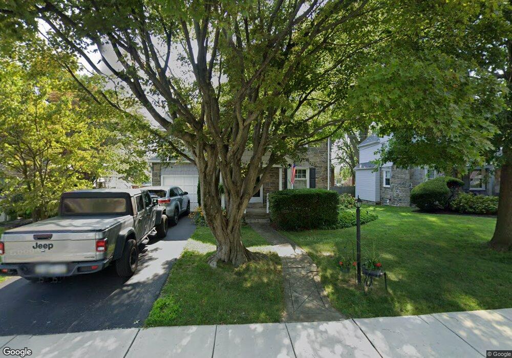
904 Collenbrook Ave Drexel Hill, PA 19026
Estimated Value: $380,000 - $400,000
4
Beds
2
Baths
1,752
Sq Ft
$223/Sq Ft
Est. Value
About This Home
This home is located at 904 Collenbrook Ave, Drexel Hill, PA 19026 and is currently estimated at $390,494, approximately $222 per square foot. 904 Collenbrook Ave is a home located in Delaware County with nearby schools including Aronimink El School, Drexel Hill Middle School, and Upper Darby High School.
Ownership History
Date
Name
Owned For
Owner Type
Purchase Details
Closed on
Jan 28, 1999
Sold by
Coulter Mary U
Bought by
Ezzie Michael L and Ezzie Joanne C
Current Estimated Value
Home Financials for this Owner
Home Financials are based on the most recent Mortgage that was taken out on this home.
Original Mortgage
$100,000
Outstanding Balance
$23,527
Interest Rate
6.67%
Estimated Equity
$366,967
Create a Home Valuation Report for This Property
The Home Valuation Report is an in-depth analysis detailing your home's value as well as a comparison with similar homes in the area
Home Values in the Area
Average Home Value in this Area
Purchase History
| Date | Buyer | Sale Price | Title Company |
|---|---|---|---|
| Ezzie Michael L | $148,000 | Security Search & Abstract C |
Source: Public Records
Mortgage History
| Date | Status | Borrower | Loan Amount |
|---|---|---|---|
| Open | Ezzie Michael L | $100,000 |
Source: Public Records
Tax History Compared to Growth
Tax History
| Year | Tax Paid | Tax Assessment Tax Assessment Total Assessment is a certain percentage of the fair market value that is determined by local assessors to be the total taxable value of land and additions on the property. | Land | Improvement |
|---|---|---|---|---|
| 2025 | $8,831 | $208,820 | $41,890 | $166,930 |
| 2024 | $8,831 | $208,820 | $41,890 | $166,930 |
| 2023 | $8,748 | $208,820 | $41,890 | $166,930 |
| 2022 | $8,513 | $208,820 | $41,890 | $166,930 |
| 2021 | $11,478 | $208,820 | $41,890 | $166,930 |
| 2020 | $9,762 | $150,920 | $40,610 | $110,310 |
| 2019 | $9,591 | $150,920 | $40,610 | $110,310 |
| 2018 | $9,481 | $150,920 | $0 | $0 |
| 2017 | $9,234 | $150,920 | $0 | $0 |
| 2016 | $828 | $150,920 | $0 | $0 |
| 2015 | $845 | $150,920 | $0 | $0 |
| 2014 | $845 | $150,920 | $0 | $0 |
Source: Public Records
Map
Nearby Homes
- 921 Addingham Ave
- 920 Alexander Ave
- 833 Anderson Ave
- 837 Alexander Ave
- 5042 Sylvia Rd
- 1042 Blythe Ave
- 4938 State Rd
- 5233 Arrowhead Ln
- 1029 Belfield Ave
- 820 Wilde Ave
- 1102 Childs Ave
- 1223 Drexel Ave
- 104 Treaty Rd
- 831 Concord Ave
- 4410 School Ln
- 543 Bloomfield Ave
- 4400 School Ln
- 930 Ormond Ave
- 412 N Rolling Rd
- 4123 School Ln
- 908 Collenbrook Ave
- 4801 Cedar Ln
- 905 Addingham Ave
- 909 Addingham Ave
- 4805 Cedar Ln
- 912 Collenbrook Ave
- 913 Addingham Ave
- 905 Collenbrook Ave
- 901 Collenbrook Ave
- 909 Collenbrook Ave
- 4800 Cedar Ln
- 916 Collenbrook Ave
- 917 Addingham Ave
- 913 Collenbrook Ave
- 825 Addingham Ave
- 4716 Cedar Ln
- 824 Roberts Ave
- 824 Collenbrook Ave
- 917 Collenbrook Ave
- 904 Roberts Ave