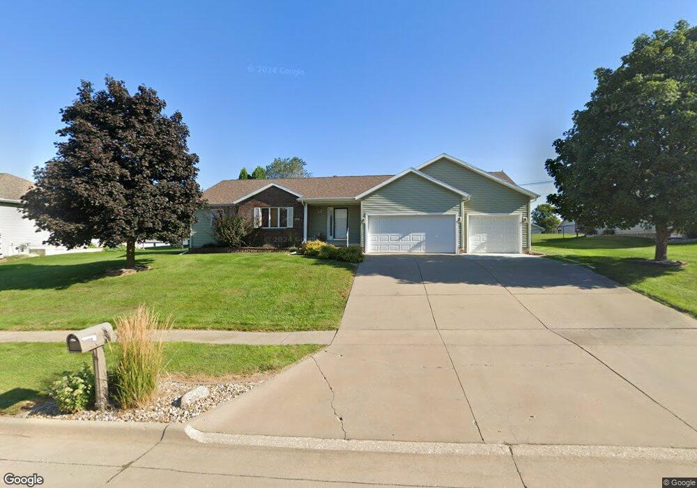
904 Kester Rd Marshalltown, IA 50158
Estimated Value: $330,006 - $365,000
4
Beds
5
Baths
1,797
Sq Ft
$194/Sq Ft
Est. Value
About This Home
This home is located at 904 Kester Rd, Marshalltown, IA 50158 and is currently estimated at $349,002, approximately $194 per square foot. 904 Kester Rd is a home located in Marshall County with nearby schools including J.C. Hoglan Elementary School, B.R. Miller Middle School, and Marshalltown High School.
Ownership History
Date
Name
Owned For
Owner Type
Purchase Details
Closed on
Sep 2, 2020
Sold by
Kester Larry J and Kester Marlene K
Bought by
Reidy Kames A and King Sharon K
Current Estimated Value
Home Financials for this Owner
Home Financials are based on the most recent Mortgage that was taken out on this home.
Original Mortgage
$191,000
Outstanding Balance
$169,186
Interest Rate
2.8%
Mortgage Type
New Conventional
Estimated Equity
$179,817
Purchase Details
Closed on
Jun 24, 2010
Sold by
Long Jeannette A
Bought by
Kester Larry J and Kester Marlene K
Purchase Details
Closed on
Jun 10, 2005
Sold by
Carlson Ruth M and Carlson C
Bought by
Long Jeannette A
Home Financials for this Owner
Home Financials are based on the most recent Mortgage that was taken out on this home.
Original Mortgage
$217,500
Interest Rate
5.87%
Mortgage Type
New Conventional
Create a Home Valuation Report for This Property
The Home Valuation Report is an in-depth analysis detailing your home's value as well as a comparison with similar homes in the area
Home Values in the Area
Average Home Value in this Area
Purchase History
| Date | Buyer | Sale Price | Title Company |
|---|---|---|---|
| Reidy Kames A | $241,000 | None Available | |
| Kester Larry J | $205,000 | -- | |
| Long Jeannette A | $215,000 | None Available |
Source: Public Records
Mortgage History
| Date | Status | Borrower | Loan Amount |
|---|---|---|---|
| Open | Reidy Kames A | $191,000 | |
| Previous Owner | Long Jeannette A | $217,500 |
Source: Public Records
Tax History Compared to Growth
Tax History
| Year | Tax Paid | Tax Assessment Tax Assessment Total Assessment is a certain percentage of the fair market value that is determined by local assessors to be the total taxable value of land and additions on the property. | Land | Improvement |
|---|---|---|---|---|
| 2024 | $5,914 | $306,120 | $43,410 | $262,710 |
| 2023 | $6,054 | $306,120 | $43,410 | $262,710 |
| 2022 | $6,126 | $270,460 | $40,910 | $229,550 |
| 2021 | $6,006 | $270,460 | $40,910 | $229,550 |
| 2020 | $6,005 | $254,810 | $40,910 | $213,900 |
Source: Public Records
Map
Nearby Homes
- 1109 E Southridge Rd
- 1011 E Southridge Rd
- 1005 E Southridge Rd
- 1003 E Southridge Rd
- 1001 E Southridge Rd
- 1 Merle Hibbs Lafrenz
- 0 Governor Rd
- 903 E Southridge Rd
- 901 E Southridge Rd
- 803 E Southridge Rd
- 801 E Southridge Rd
- 403 Thunderbird Dr
- 404 Friendly Dr
- 201 Thunderbird Dr
- 514 E Olive St Unit 208
- 514 E Olive St Unit 203
- 1704 Rainbow Dr
- 110 Palmer St
- 1501 S 7th Ave
- 2307 Maple Blvd