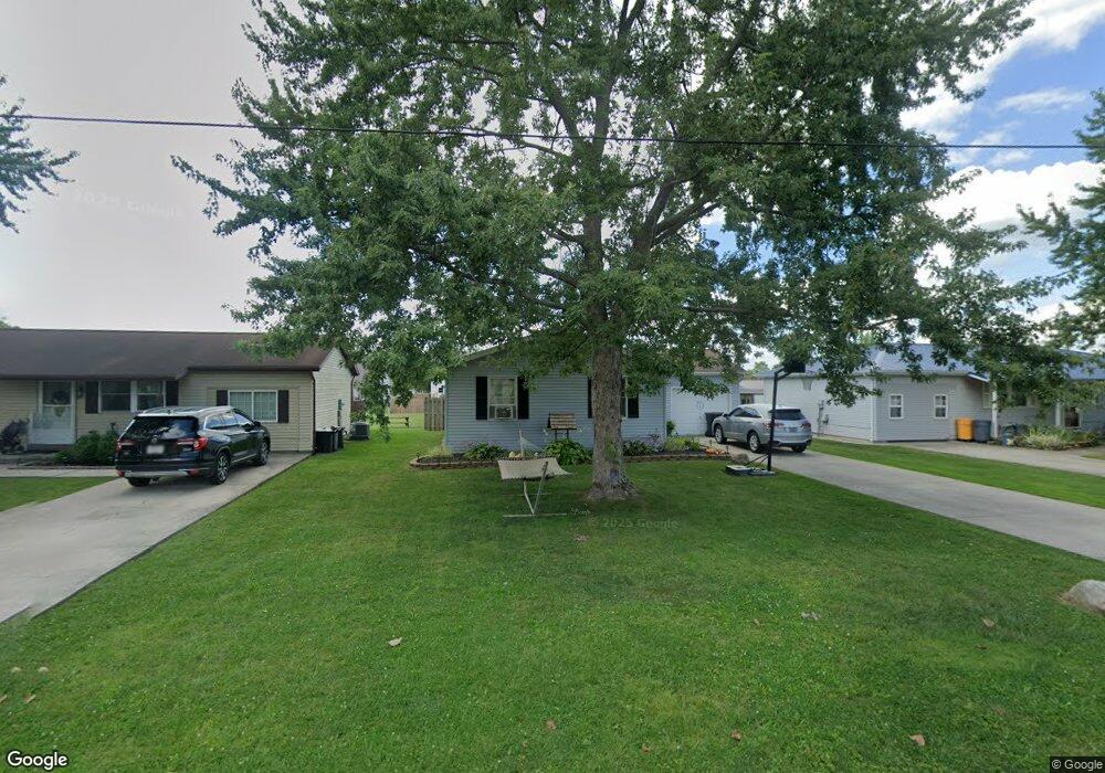
904 S Hazel St Upper Sandusky, OH 43351
Estimated Value: $125,000 - $152,560
3
Beds
1
Bath
1,008
Sq Ft
$134/Sq Ft
Est. Value
About This Home
This home is located at 904 S Hazel St, Upper Sandusky, OH 43351 and is currently estimated at $134,640, approximately $133 per square foot. 904 S Hazel St is a home located in Wyandot County with nearby schools including Upper Sandusky High School and St. Peter Elementary School.
Ownership History
Date
Name
Owned For
Owner Type
Purchase Details
Closed on
Feb 9, 2006
Sold by
Hoover Joseph W
Bought by
Snell Mindy N and Taylor Cory C
Current Estimated Value
Home Financials for this Owner
Home Financials are based on the most recent Mortgage that was taken out on this home.
Original Mortgage
$76,200
Outstanding Balance
$47,906
Interest Rate
8.25%
Estimated Equity
$86,734
Purchase Details
Closed on
Oct 6, 2002
Bought by
Snell Mindy N and Snell Cory C
Create a Home Valuation Report for This Property
The Home Valuation Report is an in-depth analysis detailing your home's value as well as a comparison with similar homes in the area
Home Values in the Area
Average Home Value in this Area
Purchase History
| Date | Buyer | Sale Price | Title Company |
|---|---|---|---|
| Snell Mindy N | $76,200 | None Available | |
| Snell Mindy N | $76,200 | -- |
Source: Public Records
Mortgage History
| Date | Status | Borrower | Loan Amount |
|---|---|---|---|
| Open | Snell Mindy N | $76,200 |
Source: Public Records
Tax History Compared to Growth
Tax History
| Year | Tax Paid | Tax Assessment Tax Assessment Total Assessment is a certain percentage of the fair market value that is determined by local assessors to be the total taxable value of land and additions on the property. | Land | Improvement |
|---|---|---|---|---|
| 2024 | $1,286 | $39,490 | $4,840 | $34,650 |
| 2023 | $1,286 | $39,490 | $4,840 | $34,650 |
| 2022 | $1,286 | $31,000 | $3,940 | $27,060 |
| 2021 | $1,057 | $31,000 | $3,940 | $27,060 |
| 2020 | $1,056 | $31,000 | $3,940 | $27,060 |
| 2019 | $1,055 | $31,000 | $3,940 | $27,060 |
| 2018 | $934 | $27,940 | $3,290 | $24,650 |
| 2017 | $948 | $27,940 | $3,290 | $24,650 |
| 2016 | -- | $27,940 | $3,290 | $24,650 |
| 2015 | -- | $27,000 | $3,290 | $23,710 |
| 2014 | -- | $27,000 | $3,290 | $23,710 |
| 2013 | -- | $27,000 | $3,290 | $23,710 |
Source: Public Records
Map
Nearby Homes
- 379 Spring St
- 602 S 7th St
- 454 N Sandusky Ave
- 430 S Sandusky Ave
- 326 S 8th St
- 346 W Hicks St
- 225 S Hazel St
- 305 S 5th St
- 213 E Johnson St
- 137 N 8th St
- 386 W Finley St
- 326 N 5th St
- 417 N 8th St
- 334 N 4th St
- 222 E Bigelow St
- 443 N 7th St
- 453 N 7th St
- 381 & 383 W Johnson St
- US 30 Sr 23
- 203 203 1/2 E Crawford St
- 902 S Hazel St
- 906 S Hazel St
- 900 S Hazel St
- 908 S Hazel St
- 910 S Hazel St
- 871 Shields Dr
- 881 Shields Dr Unit 883
- 881 883 Shields Dr
- 907 S Hazel St
- 912 S Hazel St
- 851 Shields Dr
- 891 Shields Dr
- 909 S Hazel St
- 816 S Hazel St
- 454 Maple St
- 914 S Hazel St
- 911 S Hazel St
- 880 Shields Dr Unit 882
- 814 S Hazel St
- 890 Shields Dr