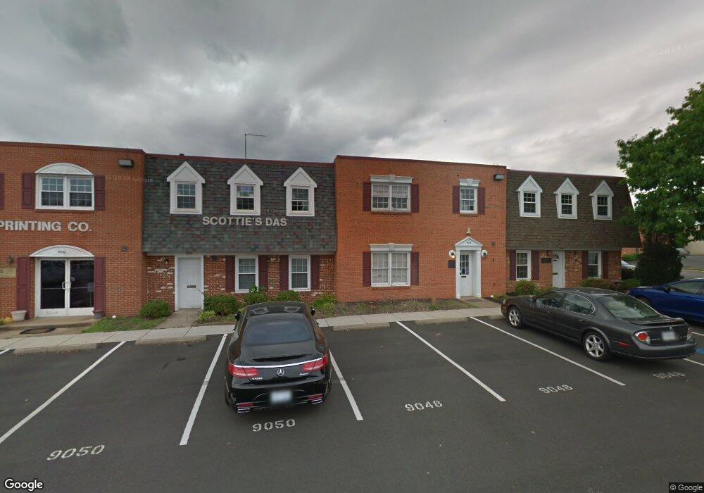
9048 Euclid Ave Manassas, VA 20110
Old Town Manassas NeighborhoodEstimated Value: $441,186
--
Bed
--
Bath
1,950
Sq Ft
$226/Sq Ft
Est. Value
About This Home
This home is located at 9048 Euclid Ave, Manassas, VA 20110 and is currently estimated at $441,186, approximately $226 per square foot. 9048 Euclid Ave is a home located in Manassas City with nearby schools including Baldwin Elementary School, Mayfield Intermediate School, and Grace E. Metz Middle School.
Ownership History
Date
Name
Owned For
Owner Type
Purchase Details
Closed on
Aug 24, 2007
Sold by
Holbrook Linwood L
Bought by
Starnes Mark A
Current Estimated Value
Home Financials for this Owner
Home Financials are based on the most recent Mortgage that was taken out on this home.
Original Mortgage
$250,000
Outstanding Balance
$159,256
Interest Rate
6.78%
Mortgage Type
Construction
Estimated Equity
$281,930
Create a Home Valuation Report for This Property
The Home Valuation Report is an in-depth analysis detailing your home's value as well as a comparison with similar homes in the area
Home Values in the Area
Average Home Value in this Area
Purchase History
| Date | Buyer | Sale Price | Title Company |
|---|---|---|---|
| Starnes Mark A | $290,000 | -- |
Source: Public Records
Mortgage History
| Date | Status | Borrower | Loan Amount |
|---|---|---|---|
| Open | Starnes Mark A | $250,000 |
Source: Public Records
Tax History Compared to Growth
Tax History
| Year | Tax Paid | Tax Assessment Tax Assessment Total Assessment is a certain percentage of the fair market value that is determined by local assessors to be the total taxable value of land and additions on the property. | Land | Improvement |
|---|---|---|---|---|
| 2024 | $2,703 | $214,500 | $62,500 | $152,000 |
| 2023 | $2,703 | $214,500 | $62,500 | $152,000 |
| 2022 | $2,618 | $195,100 | $62,500 | $132,600 |
| 2021 | $2,788 | $195,100 | $62,500 | $132,600 |
| 2020 | $2,848 | $195,100 | $62,500 | $132,600 |
| 2019 | $2,887 | $195,100 | $62,500 | $132,600 |
| 2018 | $2,848 | $195,100 | $62,500 | $132,600 |
| 2017 | -- | $195,100 | $62,500 | $132,600 |
| 2016 | $2,737 | $195,100 | $0 | $0 |
| 2015 | -- | $195,100 | $62,500 | $132,600 |
| 2014 | -- | $0 | $0 | $0 |
Source: Public Records
Map
Nearby Homes
- 9552 Cannoneer Ct Unit 204
- 9554 Cannoneer Ct Unit 101
- 8639 Union Place
- 8385 Buttress Ln Unit 103
- 8393 Buttress Ln Unit 101
- 8243 Knight Station Way
- 8264 Knight Station Way
- 9576 Jayhawk Terrace Unit 401
- 8605 Burnside Ct
- 167 Scott Dr
- 8300 Sunnyside Ct
- 1106A Dabney Dr
- 1110B Dabney Dr
- 1108B Dabney Dr
- 1112B Dabney Dr
- 1208A Freeman Place
- 9203 Matthew Dr
- 1012B Mays Ln
- 1215B Freeman Place
- 1002 Mays Ln
- 9046 Euclid Ave
- 9050 Euclid Ave
- 9052 Euclid Ave
- 9056 Euclid Ave
- 9054 Euclid Ave
- 8503 Bucyrus Ct Unit 9
- 8503 Bucyrus Ct
- 9040 Euclid Ave
- 9058 Euclid Ave
- 8510 Bucyrus Ct
- 9060 Euclid Ave
- 8505 Bucyrus Ct Unit 10
- 8505 Bucyrus Ct
- 8507 Bucyrus Ct Unit 11
- 8507 Bucyrus Ct
- 8509 Bucyrus Ct
- 8501 Bucyrus Ct Unit 13
- 8501 Bucyrus Ct Unit 16
- 8501 Bucyrus Ct Unit 13
- 9030 Euclid Ave