905 Kelly Cir Shepherd, MT 59079
Estimated Value: $470,000 - $818,812
3
Beds
3
Baths
2,781
Sq Ft
$236/Sq Ft
Est. Value
About This Home
This home is located at 905 Kelly Cir, Shepherd, MT 59079 and is currently estimated at $657,604, approximately $236 per square foot. 905 Kelly Cir is a home located in Yellowstone County with nearby schools including Shepherd Elementary School, Shepherd Middle School, and Shepherd High School.
Ownership History
Date
Name
Owned For
Owner Type
Purchase Details
Closed on
Apr 2, 2018
Sold by
Huffman Joan L and Wall Roberta E
Bought by
Ness Dillon C and Hoyt Jeannie M
Current Estimated Value
Home Financials for this Owner
Home Financials are based on the most recent Mortgage that was taken out on this home.
Original Mortgage
$346,895
Interest Rate
4.46%
Mortgage Type
New Conventional
Purchase Details
Closed on
Jun 1, 2012
Sold by
Larson Eric D
Bought by
Huffman Joan L and Wall Roberta E
Home Financials for this Owner
Home Financials are based on the most recent Mortgage that was taken out on this home.
Original Mortgage
$292,500
Interest Rate
3.86%
Mortgage Type
New Conventional
Purchase Details
Closed on
May 7, 2008
Sold by
Gilmore Charles M and Bontrager Barry
Bought by
Larson Eric D
Purchase Details
Closed on
Oct 7, 1993
Sold by
Rocky Mountain Timberlands Inc
Bought by
Bradley David A and Bradley Lindy J
Create a Home Valuation Report for This Property
The Home Valuation Report is an in-depth analysis detailing your home's value as well as a comparison with similar homes in the area
Home Values in the Area
Average Home Value in this Area
Purchase History
| Date | Buyer | Sale Price | Title Company |
|---|---|---|---|
| Ness Dillon C | -- | -- | |
| Huffman Joan L | -- | Chicago Title | |
| Larson Eric D | -- | None Available | |
| Bradley David A | -- | None Available |
Source: Public Records
Mortgage History
| Date | Status | Borrower | Loan Amount |
|---|---|---|---|
| Closed | Ness Dillon C | $346,895 | |
| Previous Owner | Huffman Joan L | $292,500 |
Source: Public Records
Tax History Compared to Growth
Tax History
| Year | Tax Paid | Tax Assessment Tax Assessment Total Assessment is a certain percentage of the fair market value that is determined by local assessors to be the total taxable value of land and additions on the property. | Land | Improvement |
|---|---|---|---|---|
| 2025 | $5,307 | $761,469 | $68,459 | $693,010 |
| 2024 | $5,307 | $618,100 | $38,360 | $579,740 |
| 2023 | $5,265 | $601,275 | $38,415 | $562,860 |
| 2022 | $4,920 | $498,946 | $0 | $0 |
| 2021 | $4,908 | $498,946 | $0 | $0 |
| 2020 | $4,625 | $453,177 | $0 | $0 |
| 2019 | $3,822 | $453,177 | $0 | $0 |
| 2018 | $4,038 | $451,817 | $0 | $0 |
| 2017 | $3,962 | $451,817 | $0 | $0 |
| 2016 | $3,599 | $427,841 | $0 | $0 |
| 2015 | $3,567 | $427,841 | $0 | $0 |
| 2014 | $3,092 | $195,315 | $0 | $0 |
Source: Public Records
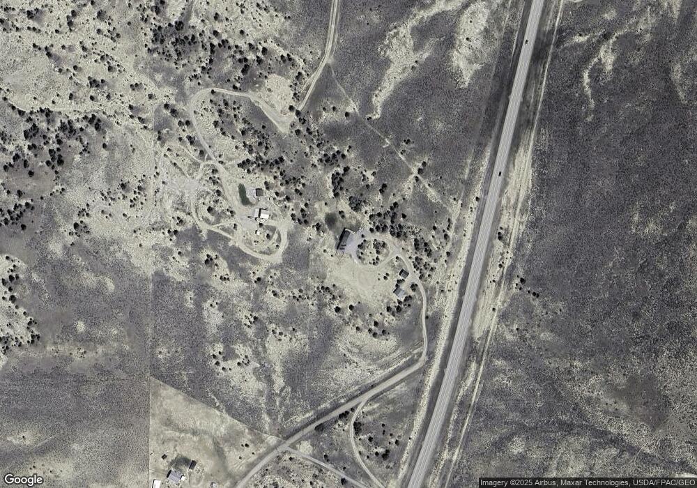
Map
Nearby Homes
- 15615 Well House Rd
- tbd Lindstrom Rd
- Lindstrom Rd
- NHN Lindstrom Rd
- 8510 Prairie Hawk
- LOT 1 BLK 2 High Noon Dr
- 13401 Hoskins Basin Rd
- 647 Majerus Rd
- 3010 Flint Cir
- Lot 23 Hwy 87
- 9470 Doyle Rd
- 10550 Reno Ln
- 475 Shepherd Acton Rd
- 7445 Horsemans Way
- Hiway 87 Hiway 87
- 3863 Glenn Edward Rd
- 5652 Bengston Rd
- 8020 Wade St
- 7306 Kendra Lynn Dr
- 151 Big Clearing Rd