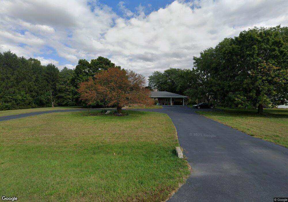
905 S State Road 49 Kouts, IN 46347
Porter County NeighborhoodEstimated Value: $424,000 - $446,000
4
Beds
3
Baths
2,769
Sq Ft
$158/Sq Ft
Est. Value
About This Home
This home is located at 905 S State Road 49, Kouts, IN 46347 and is currently estimated at $436,783, approximately $157 per square foot. 905 S State Road 49 is a home located in Porter County with nearby schools including Kouts Elementary School, Kouts Middle/High School, and Midwest Academy.
Ownership History
Date
Name
Owned For
Owner Type
Purchase Details
Closed on
Jun 30, 2006
Sold by
Wilkinson Mark W and Wilkinson Dena B
Bought by
Garcia Edward J and Garcia Roberta
Current Estimated Value
Home Financials for this Owner
Home Financials are based on the most recent Mortgage that was taken out on this home.
Original Mortgage
$176,000
Outstanding Balance
$104,890
Interest Rate
6.72%
Mortgage Type
Purchase Money Mortgage
Estimated Equity
$331,893
Create a Home Valuation Report for This Property
The Home Valuation Report is an in-depth analysis detailing your home's value as well as a comparison with similar homes in the area
Home Values in the Area
Average Home Value in this Area
Purchase History
| Date | Buyer | Sale Price | Title Company |
|---|---|---|---|
| Garcia Edward J | -- | Ticor Title Insurance |
Source: Public Records
Mortgage History
| Date | Status | Borrower | Loan Amount |
|---|---|---|---|
| Open | Garcia Edward J | $176,000 |
Source: Public Records
Tax History Compared to Growth
Tax History
| Year | Tax Paid | Tax Assessment Tax Assessment Total Assessment is a certain percentage of the fair market value that is determined by local assessors to be the total taxable value of land and additions on the property. | Land | Improvement |
|---|---|---|---|---|
| 2024 | $2,650 | $357,700 | $57,700 | $300,000 |
| 2023 | $2,510 | $344,400 | $55,500 | $288,900 |
| 2022 | $2,485 | $318,600 | $55,500 | $263,100 |
| 2021 | $2,367 | $278,700 | $55,500 | $223,200 |
| 2020 | $2,275 | $271,400 | $48,200 | $223,200 |
| 2019 | $2,165 | $250,800 | $48,200 | $202,600 |
| 2018 | $1,961 | $234,900 | $48,200 | $186,700 |
| 2017 | $1,923 | $234,000 | $48,200 | $185,800 |
| 2016 | $1,746 | $220,900 | $44,500 | $176,400 |
| 2014 | $1,865 | $224,500 | $43,400 | $181,100 |
| 2013 | -- | $219,500 | $45,200 | $174,300 |
Source: Public Records
Map
Nearby Homes
- 0-Lot B4-5 St Road 8
- 0-Lot B6-7 State Road 8
- 0-B1-3 State Road 8
- 209 E Ross Ave
- 0 Vanessa Way Unit GNR544729
- 0 Sharyn St Unit GNR544743
- 0 Sharyn St Unit GNR544737
- 0 Sharyn St Unit GNR544741
- 702 W Jefferson St
- 501 W Elizabeth St
- 406 S Pleasant Dr
- 201 Will St
- 407 Mckinley St
- 408 Coyote Trail
- 403 N Main St
- 304 Shady Ln
- 305 Shady Ln
- 81 E 1050 S
- 1 E Jeflynn Ct
- 156 Lee Dr