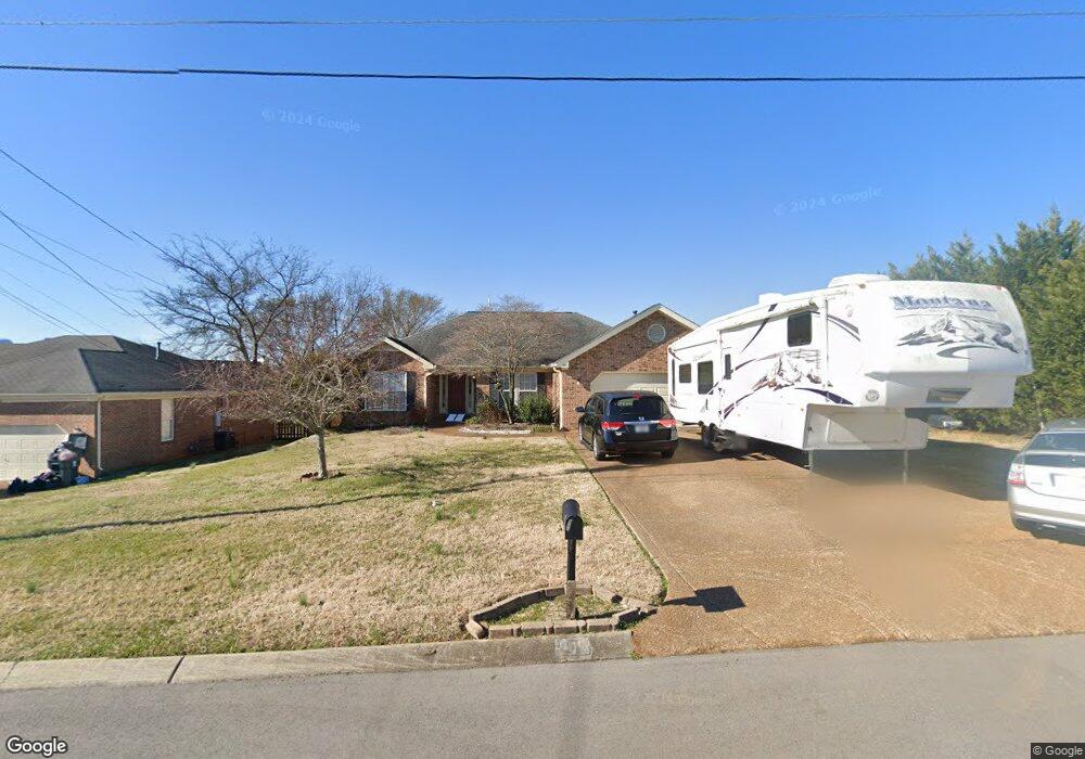
905 Thomastown Dr Smyrna, TN 37167
Estimated Value: $366,700 - $450,000
--
Bed
3
Baths
1,847
Sq Ft
$225/Sq Ft
Est. Value
About This Home
This home is located at 905 Thomastown Dr, Smyrna, TN 37167 and is currently estimated at $415,925, approximately $225 per square foot. 905 Thomastown Dr is a home located in Rutherford County with nearby schools including Rock Springs Elementary School, Rock Springs Middle School, and Stewarts Creek High School.
Ownership History
Date
Name
Owned For
Owner Type
Purchase Details
Closed on
Jan 14, 2004
Sold by
Ocwen Federal Bank
Bought by
Ingrid Klose
Current Estimated Value
Home Financials for this Owner
Home Financials are based on the most recent Mortgage that was taken out on this home.
Original Mortgage
$128,000
Outstanding Balance
$59,653
Interest Rate
5.85%
Estimated Equity
$356,272
Purchase Details
Closed on
Sep 19, 2003
Sold by
Wydick Robert C
Bought by
U S Bank Tr
Purchase Details
Closed on
Nov 18, 1999
Sold by
Gaines Home Building
Bought by
Wydick Robert C
Create a Home Valuation Report for This Property
The Home Valuation Report is an in-depth analysis detailing your home's value as well as a comparison with similar homes in the area
Home Values in the Area
Average Home Value in this Area
Purchase History
| Date | Buyer | Sale Price | Title Company |
|---|---|---|---|
| Ingrid Klose | $160,000 | -- | |
| U S Bank Tr | -- | -- | |
| Wydick Robert C | $148,950 | -- |
Source: Public Records
Mortgage History
| Date | Status | Borrower | Loan Amount |
|---|---|---|---|
| Open | Wydick Robert C | $128,000 |
Source: Public Records
Tax History Compared to Growth
Tax History
| Year | Tax Paid | Tax Assessment Tax Assessment Total Assessment is a certain percentage of the fair market value that is determined by local assessors to be the total taxable value of land and additions on the property. | Land | Improvement |
|---|---|---|---|---|
| 2025 | $2,023 | $84,200 | $13,750 | $70,450 |
| 2024 | $2,023 | $84,200 | $13,750 | $70,450 |
| 2023 | $2,023 | $84,200 | $13,750 | $70,450 |
| 2022 | $1,804 | $84,200 | $13,750 | $70,450 |
| 2021 | $1,718 | $58,825 | $12,500 | $46,325 |
| 2020 | $1,718 | $58,825 | $12,500 | $46,325 |
| 2019 | $1,718 | $58,825 | $12,500 | $46,325 |
| 2018 | $1,647 | $58,825 | $0 | $0 |
| 2017 | $1,495 | $41,925 | $0 | $0 |
| 2016 | $1,495 | $41,925 | $0 | $0 |
| 2015 | $1,495 | $41,925 | $0 | $0 |
| 2014 | $1,043 | $41,925 | $0 | $0 |
| 2013 | -- | $42,400 | $0 | $0 |
Source: Public Records
Map
Nearby Homes
- 649 Woodburn Dr
- 382 Clarkston Dr
- 466 Blair Rd
- 464 Blair Rd
- 460 Blair Rd
- 269 Cornice Dr
- 456 Blair Rd
- 450 Blair Rd
- 4015 Wisdom Way
- 440 Blair Rd
- 261 Cornice Dr
- 262 Cornice Dr
- STONEBROOK II Plan at Pottsview
- MILFORD A Plan at Pottsview
- HAYDEN Plan at Pottsview
- SALEM Plan at Pottsview
- 5024 Mary Ellen Cir
- 3704 Henricks Hill Dr
- 416 Blair Rd
- 412 Blair Rd
- 903 Thomastown Dr
- 907 Thomastown Dr
- 1012 Don Blair Dr
- 1014 Don Blair Dr
- 650 Woodburn Dr
- 909 Thomastown Dr
- 648 Woodburn Dr
- 904 Thomastown Dr
- 902 Thomastown Dr
- 652 Woodburn Dr
- 1016 Don Blair Dr
- 906 Thomastown Dr
- 900 Thomastown Dr
- 911 Thomastown Dr
- 1018 Don Blair Dr
- 908 Thomastown Dr
- 803 Bristol Dr
- 805 Bristol Dr
- 807 Bristol Dr
- 656 Woodburn Dr