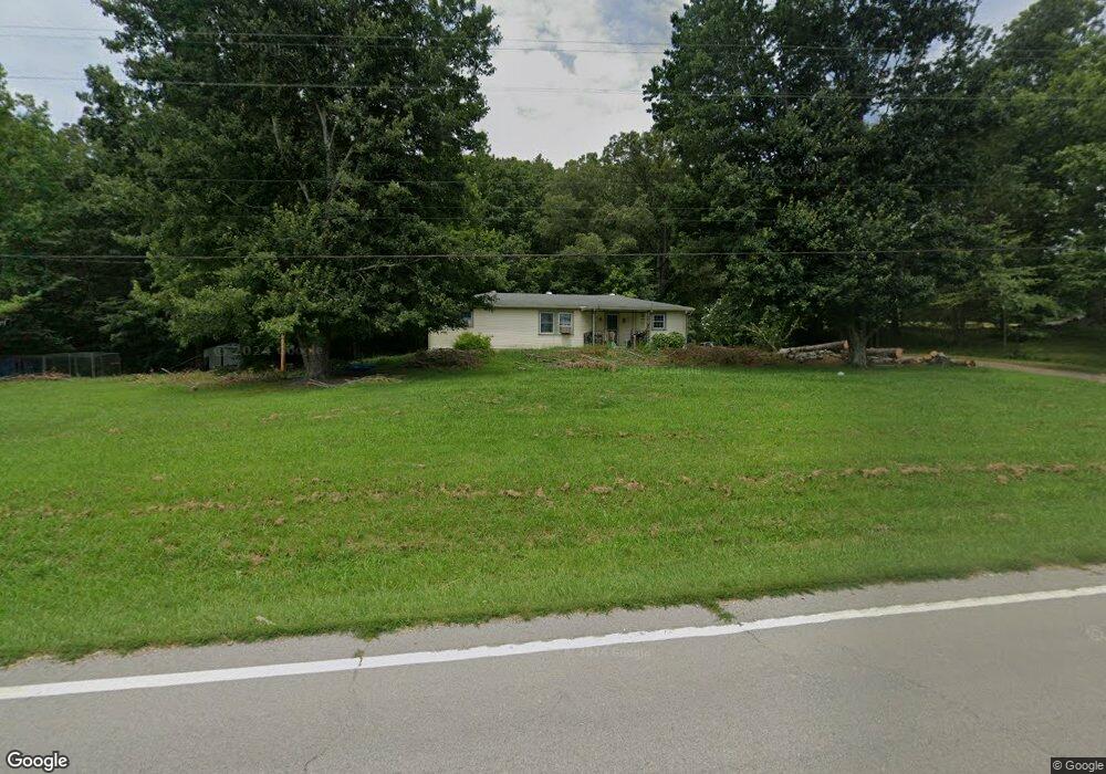
9050 9050 Highway 147 Stewart, TN 37175
Estimated Value: $130,000 - $304,000
--
Bed
2
Baths
1,344
Sq Ft
$145/Sq Ft
Est. Value
About This Home
This home is located at 9050 9050 Highway 147, Stewart, TN 37175 and is currently estimated at $194,425, approximately $144 per square foot. 9050 9050 Highway 147 is a home located in Houston County.
Ownership History
Date
Name
Owned For
Owner Type
Purchase Details
Closed on
Oct 17, 2018
Sold by
Harris Debra Jean
Bought by
Ross Phillip J
Current Estimated Value
Home Financials for this Owner
Home Financials are based on the most recent Mortgage that was taken out on this home.
Original Mortgage
$68,633
Outstanding Balance
$61,067
Interest Rate
5.5%
Mortgage Type
FHA
Estimated Equity
$133,358
Purchase Details
Closed on
Jun 26, 1991
Bought by
Hjarris David Taft and Debra Jean
Purchase Details
Closed on
Mar 9, 1968
Bought by
Blair Raymond L and Lalah Francis
Create a Home Valuation Report for This Property
The Home Valuation Report is an in-depth analysis detailing your home's value as well as a comparison with similar homes in the area
Home Values in the Area
Average Home Value in this Area
Purchase History
| Date | Buyer | Sale Price | Title Company |
|---|---|---|---|
| Ross Phillip J | $69,900 | -- | |
| Hjarris David Taft | $37,000 | -- | |
| Blair Raymond L | -- | -- |
Source: Public Records
Mortgage History
| Date | Status | Borrower | Loan Amount |
|---|---|---|---|
| Open | Ross Phillip J | $68,633 |
Source: Public Records
Tax History Compared to Growth
Tax History
| Year | Tax Paid | Tax Assessment Tax Assessment Total Assessment is a certain percentage of the fair market value that is determined by local assessors to be the total taxable value of land and additions on the property. | Land | Improvement |
|---|---|---|---|---|
| 2024 | $386 | $21,700 | $3,500 | $18,200 |
| 2023 | $386 | $21,700 | $3,500 | $18,200 |
| 2022 | $358 | $12,775 | $2,400 | $10,375 |
| 2021 | $358 | $12,775 | $2,400 | $10,375 |
| 2020 | $370 | $12,775 | $2,400 | $10,375 |
| 2019 | $370 | $11,600 | $2,100 | $9,500 |
| 2018 | $370 | $11,600 | $2,100 | $9,500 |
| 2017 | $370 | $11,600 | $2,100 | $9,500 |
| 2016 | $370 | $11,600 | $2,100 | $9,500 |
| 2015 | $370 | $11,600 | $2,100 | $9,500 |
| 2014 | -- | $11,610 | $0 | $0 |
Source: Public Records
Map
Nearby Homes
- 8955 Tennessee 147
- 35 Airport Ln
- 0 Highway 232 Unit 25510404
- 943 Overlook Trail
- 10120 Highway 147
- 85 Lakeview Ln
- 71 Overlook Ln
- 67 Overlook Ln
- 79 Overlook Ln
- 372 Cheree Loop
- 11175 Highway 147
- 0 Rocky Point Rd Unit RTC2700425
- 0 Day Cemetery Ln
- 0 Overlook Trail
- 78 Vista Ridge Dr
- 0 Vista Ridge Dr
- 33 Vista Ridge Dr
- 1025 Vista Ridge Dr
- 27 Vista Ridge Dr
- 0 Les Ferrell Rd
- 9050 Highway 147
- 9050 Tennessee 147
- 9040 Highway 147
- 8996 Highway 147
- 9132 Highway 147
- 9132 Tennessee 147
- 8874 Highway 147
- 9286 Highway 147
- 9133 Highway 147
- 240 Bush Ln
- 9390 Highway 147
- 107 Bush Ln
- 9458 Highway 147
- 35 Phillips Ln
- 9456 Highway 147
- 0 Phillips Ln
- 445 Phillips Ln
- 214 Phillips Ln Unit 216
- 9515 Highway 147
- 27 Cool Cat Ln