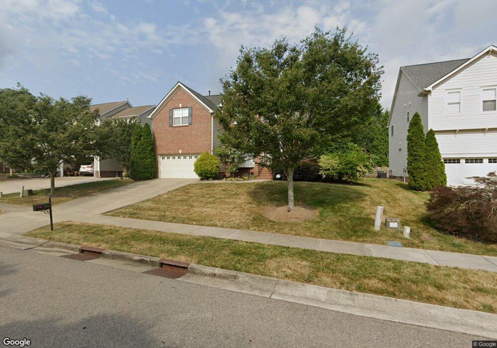
9053 Linslade Way Wake Forest, NC 27587
Estimated Value: $513,000 - $586,000
5
Beds
4
Baths
2,647
Sq Ft
$207/Sq Ft
Est. Value
About This Home
This home is located at 9053 Linslade Way, Wake Forest, NC 27587 and is currently estimated at $548,468, approximately $207 per square foot. 9053 Linslade Way is a home located in Wake County with nearby schools including Rolesville Elementary School, Wake Forest-Rolesville Middle School, and Heritage High School.
Ownership History
Date
Name
Owned For
Owner Type
Purchase Details
Closed on
Jan 26, 2007
Sold by
Centex Homes
Bought by
Ashley Kevin D and Ashley Shannon
Current Estimated Value
Home Financials for this Owner
Home Financials are based on the most recent Mortgage that was taken out on this home.
Original Mortgage
$63,994
Interest Rate
5.85%
Mortgage Type
Stand Alone Second
Create a Home Valuation Report for This Property
The Home Valuation Report is an in-depth analysis detailing your home's value as well as a comparison with similar homes in the area
Home Values in the Area
Average Home Value in this Area
Purchase History
| Date | Buyer | Sale Price | Title Company |
|---|---|---|---|
| Ashley Kevin D | $320,000 | None Available |
Source: Public Records
Mortgage History
| Date | Status | Borrower | Loan Amount |
|---|---|---|---|
| Closed | Ashley Kevin D | $63,994 | |
| Open | Ashley Kevin D | $255,976 |
Source: Public Records
Tax History Compared to Growth
Tax History
| Year | Tax Paid | Tax Assessment Tax Assessment Total Assessment is a certain percentage of the fair market value that is determined by local assessors to be the total taxable value of land and additions on the property. | Land | Improvement |
|---|---|---|---|---|
| 2025 | $5,002 | $518,740 | $110,000 | $408,740 |
| 2024 | $4,983 | $518,740 | $110,000 | $408,740 |
| 2023 | $3,640 | $311,529 | $50,000 | $261,529 |
| 2022 | $3,492 | $311,529 | $50,000 | $261,529 |
| 2021 | $3,431 | $311,529 | $50,000 | $261,529 |
| 2020 | $3,431 | $311,529 | $50,000 | $261,529 |
| 2019 | $3,458 | $277,102 | $50,000 | $227,102 |
| 2018 | $3,274 | $277,102 | $50,000 | $227,102 |
| 2017 | $3,165 | $277,102 | $50,000 | $227,102 |
| 2016 | $3,125 | $277,102 | $50,000 | $227,102 |
| 2015 | $3,566 | $312,554 | $50,000 | $262,554 |
| 2014 | $3,452 | $312,554 | $50,000 | $262,554 |
Source: Public Records
Map
Nearby Homes
- 8945 Cornwell Dr
- 3705 Andoversford Ct
- 1320 Thorny Vine Ct
- 5228 Deerchase Trail
- 1413 Yardley Dr
- 749 Marshall Farm St
- 1212 Mackinaw Dr
- 9405 Philbeck Ln
- 5105 Deer Lake Trail
- 1120 Mackinaw Dr
- 2720 Margots Ave
- 9528 White Carriage Dr
- 9249 Kitchin Farms Way Unit 432
- 9237 Kitchin Farms Way Unit 429
- 1321 Yardley Dr
- 9500 Ligon Mill Rd
- 2120 Rainy Lake St
- 3425 Coach Lantern Ave
- 2813 Carriage Meadows Dr
- 3037 Thurman Dairy Loop
- 9057 Linslade Way
- 9049 Linslade Way
- 9052 Cornwell Dr
- 9045 Linslade Way
- 9048 Cornwell Dr
- 9056 Cornwell Dr
- 9044 Cornwell Dr
- 9052 Linslade Way
- 9041 Linslade Way
- 9056 Linslade Way
- 3625 Trawden Dr
- 9048 Linslade Way
- 9060 Linslade Way
- 9100 Cornwell Dr
- 9040 Cornwell Dr
- 9044 Linslade Way
- 9100 Linslade Way
- 9101 Linslade Way
- 9105 Linslade Way
- 9036 Cornwell Dr