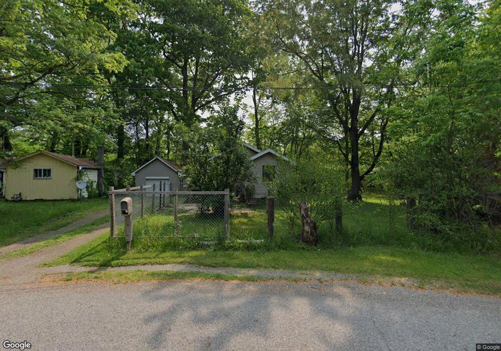
906 Brookside Dr Leavittsburg, OH 44430
Estimated Value: $58,845 - $86,000
3
Beds
1
Bath
740
Sq Ft
$100/Sq Ft
Est. Value
About This Home
This home is located at 906 Brookside Dr, Leavittsburg, OH 44430 and is currently estimated at $74,211, approximately $100 per square foot. 906 Brookside Dr is a home located in Trumbull County with nearby schools including LaBrae Intermediate School, Bascom Elementary School, and LaBrae High School.
Ownership History
Date
Name
Owned For
Owner Type
Purchase Details
Closed on
Mar 25, 2025
Sold by
Loy Laura A
Bought by
Loy Laura A and Ross Brian
Current Estimated Value
Purchase Details
Closed on
Jan 1, 1990
Bought by
John W Loy
Create a Home Valuation Report for This Property
The Home Valuation Report is an in-depth analysis detailing your home's value as well as a comparison with similar homes in the area
Home Values in the Area
Average Home Value in this Area
Purchase History
| Date | Buyer | Sale Price | Title Company |
|---|---|---|---|
| Loy Laura A | -- | None Listed On Document | |
| John W Loy | -- | -- |
Source: Public Records
Tax History Compared to Growth
Tax History
| Year | Tax Paid | Tax Assessment Tax Assessment Total Assessment is a certain percentage of the fair market value that is determined by local assessors to be the total taxable value of land and additions on the property. | Land | Improvement |
|---|---|---|---|---|
| 2024 | $639 | $14,220 | $1,860 | $12,360 |
| 2023 | $639 | $14,220 | $1,860 | $12,360 |
| 2022 | $572 | $10,790 | $1,580 | $9,210 |
| 2021 | $578 | $10,790 | $1,580 | $9,210 |
| 2020 | $554 | $10,790 | $1,580 | $9,210 |
| 2019 | $572 | $10,330 | $1,580 | $8,750 |
| 2018 | $572 | $10,330 | $1,580 | $8,750 |
| 2017 | $571 | $10,330 | $1,580 | $8,750 |
| 2016 | $176 | $3,400 | $1,580 | $1,820 |
| 2015 | $178 | $3,400 | $1,580 | $1,820 |
| 2014 | $176 | $3,400 | $1,580 | $1,820 |
| 2013 | $180 | $3,510 | $1,580 | $1,930 |
Source: Public Records
Map
Nearby Homes
- 3000 Parkman Rd NW
- 1647 Southern Blvd NW
- 1441 Southern Blvd NW
- 589 Briggs Rd
- 2879 Linda Dr NW
- 358 Burwell Rd
- 164 Huntington Dr NW
- 1945 Norwood St NW
- 2931 Randolph St NW
- 1936 Norwood St NW
- 3768 Tod Ave NW
- 0 Huntington Dr
- 1727 Lexington Ave NW
- 1552 Denison Ave NW
- 3365 Tod Ave NW
- 1351 Bradford St NW
- 1331 Bradford St NW
- 590 Ruth Ave
- 1315 Westwood Dr NW
- 1325 Moncrest Dr NW
- 932 Brookside Dr
- 932 Brookside Dr
- 1902 Lovers Ln NW
- 968 Brookside Dr
- 3254 Starlite Dr NW
- 3240 Starlite Dr NW
- 988 Brookside Dr
- 3257 Starlite Dr NW
- 950 Wakefield Rd
- 3228 Starlite Dr NW
- 3243 Starlite Dr NW
- 1940 Lovers Ln NW
- 3216 Starlite Dr NW
- 3540 Rio Vista Rd
- 3231 Starlite Dr NW
- 1016 Brookside Dr
- 3268 Aris St NW
- 1980 Lovers Ln NW
- 3254 Aris St NW
- 3204 Starlite Dr NW