906 Cooks Rd Mount Juliet, TN 37122
Estimated Value: $655,000 - $1,029,000
--
Bed
3
Baths
4,032
Sq Ft
$216/Sq Ft
Est. Value
About This Home
This home is located at 906 Cooks Rd, Mount Juliet, TN 37122 and is currently estimated at $868,915, approximately $215 per square foot. 906 Cooks Rd is a home located in Wilson County with nearby schools including West Elementary School, West Wilson Middle School, and Mt. Juliet High School.
Ownership History
Date
Name
Owned For
Owner Type
Purchase Details
Closed on
Jul 29, 2010
Sold by
Aldridge Patricia Faye
Bought by
Reth Mark
Current Estimated Value
Purchase Details
Closed on
Feb 17, 1996
Bought by
Aldridge Dudley Burke and Aldridge Patricia Faye
Purchase Details
Closed on
Mar 1, 1991
Bought by
Aldridge Dudley Burke
Purchase Details
Closed on
Nov 25, 1986
Bought by
Orange Anthony
Purchase Details
Closed on
Jun 20, 1986
Bought by
Orange Anthony & Rodney Beason
Create a Home Valuation Report for This Property
The Home Valuation Report is an in-depth analysis detailing your home's value as well as a comparison with similar homes in the area
Home Values in the Area
Average Home Value in this Area
Purchase History
| Date | Buyer | Sale Price | Title Company |
|---|---|---|---|
| Reth Mark | $424,900 | -- | |
| Aldridge Dudley Burke | $300 | -- | |
| Aldridge Dudley Burke | -- | -- | |
| Orange Anthony | -- | -- | |
| Orange Anthony & Rodney Beason | -- | -- |
Source: Public Records
Tax History Compared to Growth
Tax History
| Year | Tax Paid | Tax Assessment Tax Assessment Total Assessment is a certain percentage of the fair market value that is determined by local assessors to be the total taxable value of land and additions on the property. | Land | Improvement |
|---|---|---|---|---|
| 2024 | $2,966 | $155,400 | $45,000 | $110,400 |
| 2022 | $2,966 | $155,400 | $45,000 | $110,400 |
| 2021 | $2,966 | $155,400 | $45,000 | $110,400 |
| 2020 | $2,655 | $155,400 | $45,000 | $110,400 |
| 2019 | $2,655 | $105,400 | $25,750 | $79,650 |
| 2018 | $2,655 | $105,400 | $25,750 | $79,650 |
| 2017 | $2,655 | $105,400 | $25,750 | $79,650 |
| 2016 | $2,655 | $105,400 | $25,750 | $79,650 |
| 2015 | $2,709 | $105,400 | $25,750 | $79,650 |
| 2014 | $2,480 | $96,482 | $0 | $0 |
Source: Public Records
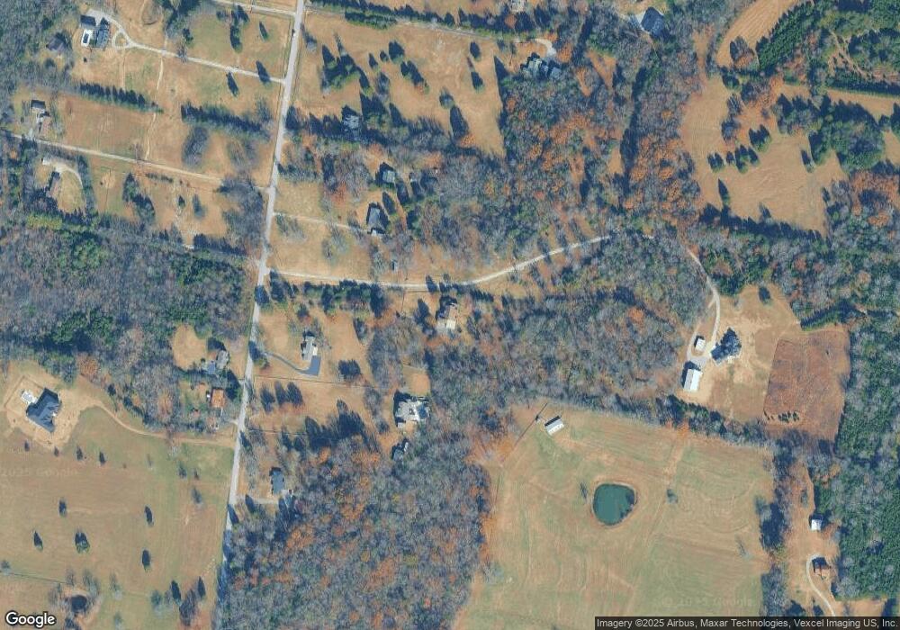
Map
Nearby Homes
- 455 Owl Dr
- 1403 Old Hebron Rd
- 1 Cooks Rd
- 1415 Old Stone Rd
- 108 Suggs Dr
- 607 Pemberton Dr
- 515 Rock Island Way
- 613 Pemberton Dr
- 1110 Pickett Rd
- 1220 Lumsley Dr
- 106 Scotts Dr
- 84 Gibson Dr
- 608 Grange Way
- 2154 Houston Bend
- 854 Arcadia Pass
- 346 Emerald Blvd
- 355 Gibson Dr
- 210 Limestone Way
- 212 Limestone Way
- Blake Plan at Cades Bluff