906 Pennwood Cir Lancaster, PA 17601
Oyster Point NeighborhoodEstimated Value: $585,000 - $824,000
3
Beds
3
Baths
3,160
Sq Ft
$219/Sq Ft
Est. Value
About This Home
This home is located at 906 Pennwood Cir, Lancaster, PA 17601 and is currently estimated at $690,502, approximately $218 per square foot. 906 Pennwood Cir is a home located in Lancaster County with nearby schools including Rohrerstown Elementary School, Centerville Middle School, and Hempfield Senior High School.
Ownership History
Date
Name
Owned For
Owner Type
Purchase Details
Closed on
Jul 12, 2001
Sold by
Fissella Bonnie A and Fissella Victor A
Bought by
Starr William A and Starr Lisa K
Current Estimated Value
Purchase Details
Closed on
Jun 3, 1999
Sold by
The Mennonite Foundation
Bought by
Fissella Victor A and Fissella Bonnie A
Home Financials for this Owner
Home Financials are based on the most recent Mortgage that was taken out on this home.
Original Mortgage
$339,900
Interest Rate
6.9%
Create a Home Valuation Report for This Property
The Home Valuation Report is an in-depth analysis detailing your home's value as well as a comparison with similar homes in the area
Home Values in the Area
Average Home Value in this Area
Purchase History
| Date | Buyer | Sale Price | Title Company |
|---|---|---|---|
| Starr William A | $399,500 | -- | |
| Fissella Victor A | $64,900 | -- |
Source: Public Records
Mortgage History
| Date | Status | Borrower | Loan Amount |
|---|---|---|---|
| Previous Owner | Fissella Victor A | $339,900 |
Source: Public Records
Tax History Compared to Growth
Tax History
| Year | Tax Paid | Tax Assessment Tax Assessment Total Assessment is a certain percentage of the fair market value that is determined by local assessors to be the total taxable value of land and additions on the property. | Land | Improvement |
|---|---|---|---|---|
| 2025 | $8,091 | $374,400 | $87,000 | $287,400 |
| 2024 | $8,091 | $374,400 | $87,000 | $287,400 |
| 2023 | $7,929 | $374,400 | $87,000 | $287,400 |
| 2022 | $7,711 | $374,400 | $87,000 | $287,400 |
| 2021 | $7,588 | $374,400 | $87,000 | $287,400 |
| 2020 | $7,588 | $374,400 | $87,000 | $287,400 |
| 2019 | $7,460 | $374,400 | $87,000 | $287,400 |
| 2018 | $1,468 | $374,400 | $87,000 | $287,400 |
| 2017 | $8,795 | $349,300 | $55,000 | $294,300 |
| 2016 | $8,795 | $349,300 | $55,000 | $294,300 |
| 2015 | $1,766 | $349,300 | $55,000 | $294,300 |
| 2014 | $6,673 | $349,300 | $55,000 | $294,300 |
Source: Public Records
Map
Nearby Homes
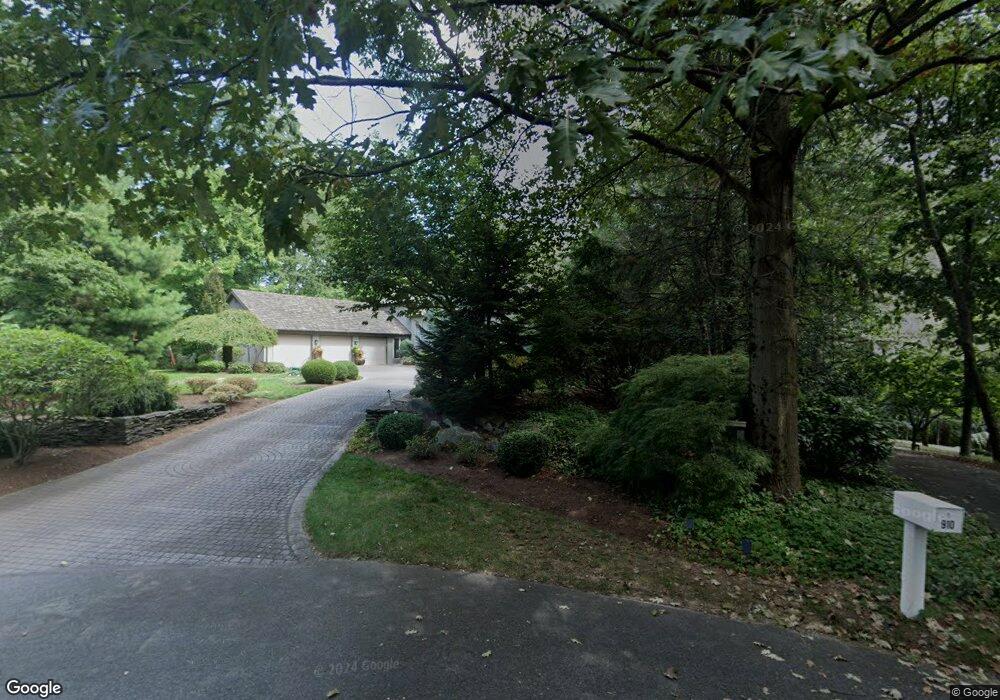
- 910 Pennwood Cir
- 2487 Chestnut Ridge Dr
- 242 Bethel Dr
- 2411 Spring Water Cir
- 0 Spring Water Cir
- 2457 Spring Water Cir
- 2457 Spring Water Cir Unit 112
- 2417 Spring Water Cir
- 2778 Spring Valley Rd
- 2504 Brookside Dr
- 2324 Wood St
- 2318 Wood St
- 1928 Pool Forge
- 916 Dorsea Rd
- 151 Pinnacle Point Dr
- 1816 Mercers Mill
- 2137 Shaaron Dr
- 1315 Sylvan Rd
- 1639 Parvin Rd
- 3 Spring Walk Ct
- 2604 Pennwood Rd
- 2600 Pennwood Rd
- 2608 Pennwood Rd
- 918 Pennwood Cir
- 922 Pennwood Cir
- 914 Pennwood Cir
- 128 Roundtop Dr
- 2609 Pennwood Rd
- 2605 Pennwood Rd
- 2613 Pennwood Rd
- 124 Roundtop Dr
- 2616 Pennwood Rd
- 2617 Pennwood Rd
- 2594 Spring Valley Rd
- 2621 Pennwood Rd
- 2620 Pennwood Rd
- 637 Springton Way
- 2596 Spring Valley Rd
- 120 Roundtop Dr
- 633 Springton Way